March 12 – April 18, 2016
Warning: A very long post follows which will probably only be of interest to those planning to cruise the sounds. This whole thing will go both here and in our Information Pages.
Now we’re ready to wrap up our Marlborough Sounds blog posts and in the process have created an information page in the Cruising Information section of our blog.
This brings me to the reason I felt compelled to do to all these posts and an information segment now instead of later. It’s the combination of a lack of information combined with a lot of misinformation that irritates me and compels me to do these projects. And we both like sharing things we’ve learned to make things easier for those behind us.
Not many cruisers go as far south as the sounds; so there’s not much in the way of blog posts about them. Before we made our trip, much of our general information had come from locals, and opinions varied widely! Some people encouraged us to go, while others told us that it’s too crowded, too hard to find anchorages, and advised us to pass it by and head straight to Abel Tasman National Park. In all, we’ve gotten a lot of advice. We’ve taken some very good, helpful advice, and ignored some very bad advice. We know better than to take local opinion as gospel, which is good because many people have pretty strong convictions that the Abel Tasman area is far superior. (It’s not; it’s just different.)
Thankfully there’s a great guidebook for both the Marlborough Sounds and the Abel Tasman area: New Zealand Cruising Guide Central Area by Keith W J Murray. He’s not one for detailed descriptions of anchorages, but the guide is invaluable for knowing what’s out there, what’s best for various wind directions, depth and special anchoring considerations. We could not have cruised this area without this book.
After three seasons of cruising in New Zealand, including both the north island and the Marlborough Sounds, we have some thoughts of our own to share. We loved our time in the sounds, but we wouldn’t make a blanket statement that it’s for everyone. Below are some considerations.
1. Whether to Go: Is it worth making the effort to cruise the sounds? It depends. For any cruisers who are spending only one season in New Zealand, the answer is no. Why? Because the north island of New Zealand has (in our opinion) some of the greatest cruising grounds in the world. With the north island being pretty much where everyone checks in, these cruising grounds are right at the doorstep along with some incredible road trips. There is so much to see and do that it’s impossible to fit it all into one season. When you take into account “Silly Season,” (the month and a half where everything is too crowded to cruise), time out for trips back to home countries (which many cruisers do yearly) and the routine boat maintenance most cruisers do in New Zealand, the time to see and cruise the north island becomes pretty limited. Add to that the fact that many people do a big 4-to-6-week road trip in the south island, and there’s just no way to come close to seeing even just the best of it.
For cruisers spending a second season in New Zealand, we’d still say no. Why? Because that first season is just not long enough to cruise and drive New Zealand’s north island. We would say go see all the places and do the things you missed the first season.
Now, for cruisers who are doing a third season (like us), I’d say only maybe. Why? Because those cruisers who have taken the time to do the big multi-week drive around the south island probably haven’t fully cruised the north island. Rich and I haven’t done that south island drive yet, which has given us time to see and cruise a lot of the north island. Since we plan to come back for a fourth season and do that big south island drive, it was the right decision for us to take this time to cruise the Marlborough Sounds this season.
For cruisers doing more than three seasons, we’d say quite possibly, but there are some considerations. For people who live for beaches, this may not be your place (although you’d love the Abel Tasman). For those needing a rest and wishing to move at a slow pace, this may also not be your place. For those who’ve extensively cruised the pacific northwest, this may not be so impressive. For avid hikers, you could do the Queen Charlotte Track, the Nydia Track, and the Abel Tasman National Park tracks and see from land what we’ve seen by boat. But for us, having cruised much of the north island, being able to make the time to get there, not being great hikers, and loving this sort of scenery, this was amazing. It’s not for everyone, but it was most definitely worthwhile for us!
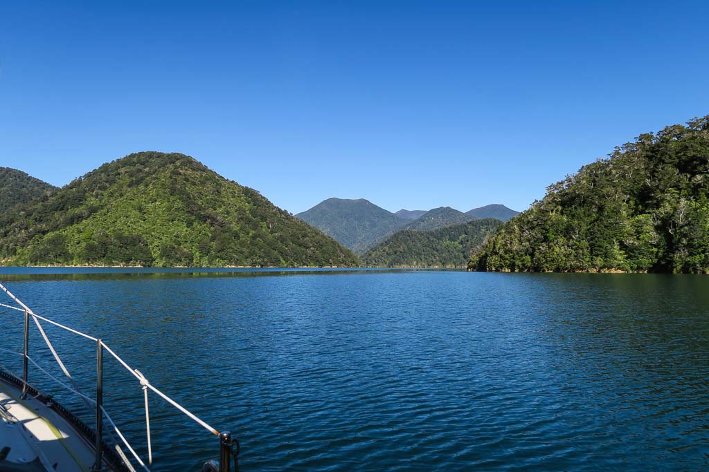
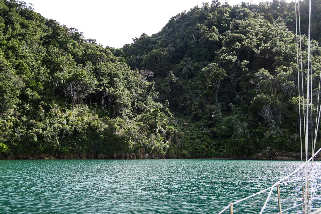
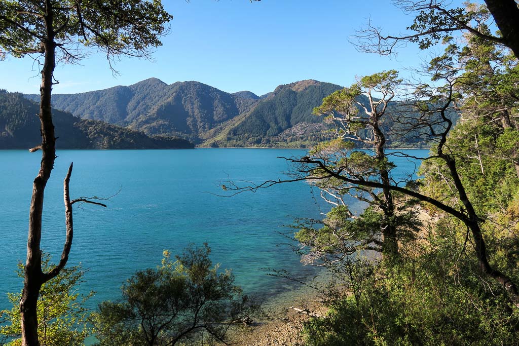
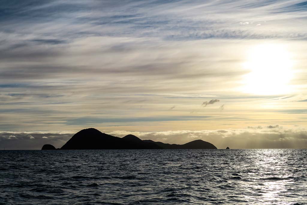
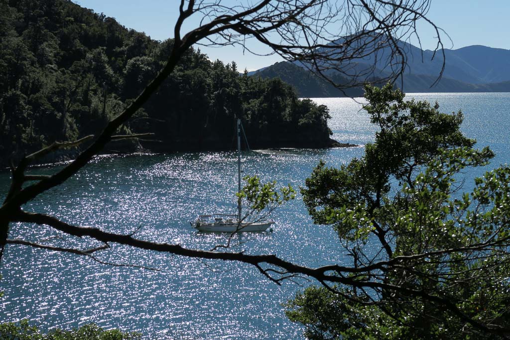
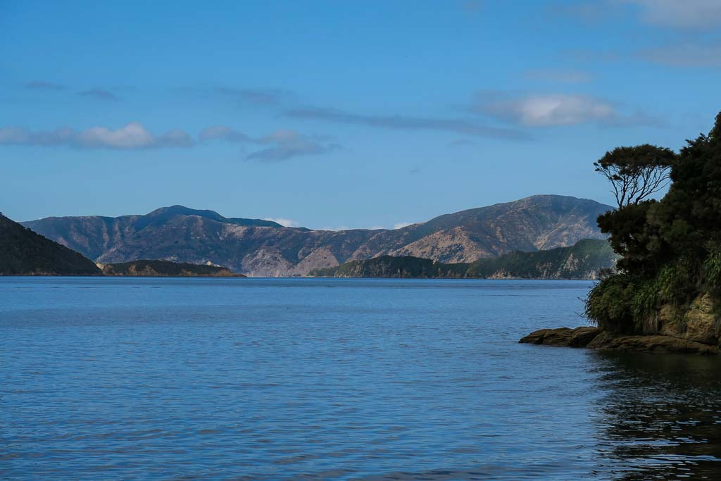
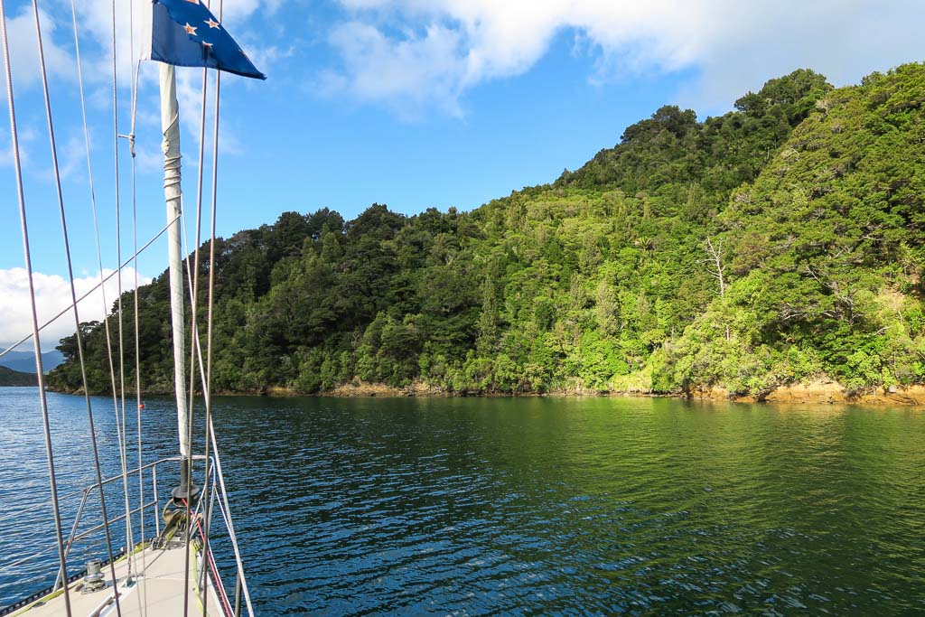
As far is making that final judgement call, we believe a photo is worth a thousand words, so we put lots of photos in our blog. Not just beautiful ones, but photos that we hope convey the feeling of being there, what it’s like, and hopefully helping the viewer to decide for themselves if it might be worthwhile for them.
One very important consideration: be aware that it can take some time to get down to the south island. Plus, as we learned firsthand this season, you need to be prepared for the possibility of returning to a port in the north island before heading up to the tropics. This isn’t always the case, but it was in the fall of 2016. There were several boats waiting in Nelson for a weather window to head to the tropics. But this year’s weather patterns brought more northerly winds; so that window never came. All but one boat gave up and headed back to the north island where it’s easier to find a weather window. The one boat (that we know of) that managed to go to the tropics from Nelson had a very, very bad trip, shredding their sails. (Last we heard they will be keeping their boat in the tropics and not returning to New Zealand as planned.) The question of the hour is how likely is it to get a window from Nelson during “normal” years? Unfortunately I don’t know the answer to that.
2. When to Go: This is something Rich and I have learned from experience in the north island. We know that the period from December 26 to Feb. 6,(Waitangi Day), is really not good for cruising. Why? Because every boat owner in New Zealand uses their summer vacation to go out on their boat. Since there are no moorings, it’s a free-for-all as far as anchoring, and the Kiwis are more than happy to anchor right on top of each other. There’s no such thing as getting a spot. If there’s open water anywhere next to your boat, someone will anchor there.
We naively thought that the lower population of the south island might change this, but no. There are plenty of boats in the Marlborough Sounds and Nelson, and people cross over here from Wellington. Silly Season is alive and well in the south island, and it’s just as well we didn’t go straight there from the tropics expecting to do any cruising.
We didn’t plan to arrive there as late as March, but it turned out to be a great time to go. There were no crowds (except for Easter, which we spent at a marina), and we able to anchor where we wanted. It did get chilly when the southerly winds blew, but that would only last a day or so. The weather was actually very comfortable, and with the exception of one day we always wore shorts. (I will note that we heard this was an extraordinary summer; so we may have had more warm sunny weather than usual.) If we were to do it again, I think mid-February would be a great time to start cruising the sounds. It’s still summer and maybe warm enough to swim, but it should be after the holiday crowds have died down.
3. How to Get There: We’ve found out that it’s not easy to get a weather window all the way to Nelson from the tropics. We’ve tried twice and failed both times. Generally people check in at Opua, then wait for weather to go to a far north anchorage, then wait for another window to go up over the top of the north island then head straight to the south island along New Zealand’s west coast. (This has to be done in one trip because there aren’t really places to stop on the west side.) After failing to go straight from the tropics, that was our Plan B. This is when we learned that it’s not so easy to get a window to go down the west side, and so we came up with Plan C: going down the east side of the north island. That actually worked out really well: we were able to do some cruising along the way to Tauranga, where we spent “Silly Season” doing our annual boat maintenance. In February, we had an overnight trip around the East Cape to the Napier area, where we spent a few lovely days waiting for a good window to get to the sounds.
The main advice we can offer at this point is to be aware that currents can slow you down more than anticipated near the south end of the north island. Whether you make it down the coast from Napier, around Cape Palliser, and across the Cook Strait during one weather window will likely depend on how powerful your engine is. For example, a sailboat not much bigger than ours left Napier half an hour after we did, but by the time we were rounding the bottom of the south island, that boat had made it across the Cook Strait, gone through the Tory Channel, and had found an anchorage for the night. We, on the other hand, had to rush just to get to Wellington (a city on the south side of the north island) before the next round of winds, barely making it. The difference? That other boat had a really powerful engine and made much, much better time than we did. We’d hoped to make it to the sounds, too, but that counter-current really slowed us down. The silver lining: Wellington was a terrific stop for us; we so much enjoyed it and would never consider doing this trip again without a stay in wonderful Wellington.
4. Rules and Regulations: First a note about the PMW (aka Combined Club) moorings: There are three boating clubs in the Marlborough Sounds, and these clubs have combined resources to put in a few moorings at some of the more popular anchorages, generally one or two per anchorage. Officially, to use these moorings, you need to be a member of one of the clubs, which costs several hundred dollars. You signal you’re a club member (with a right to use the moorings) by flying their pennant flags. We talked to a few locals, and the unofficial consensus is that visiting boats should go ahead and pick up a mooring; no one really cares. If a boat who’s entitled to use the mooring comes along, they’ll simply ask that you move, or offer to raft up with you.
We decided early on to avoid these moorings if possible. It’s better to be anchored and not have to worry about being asked to move, especially if the winds are due to pick up. But sometimes the moorings are placed in the best anchoring areas, forcing you to anchor around them which isn’t always easy. It was situations like this where we’d make an exception and pick one up. (If memory serves, we probably used these moorings four times. In three of these cases, it’s possible we would have been able to anchor, but it would have been an effort. OK, so maybe laziness was a factor in these decisions.)
Next, a note for those who want to walk the Queen Charlotte Track. We’d never even heard of this until we saw a sign asking for it, but it turned out there are areas of the Queen Charlotte Track which require that you purchase a QCTLC permit and carry it in view. Most of the track is public parkland, but there are segments that are privately owned so the park service sells permits for those areas of the track. Being cruisers traveling on our own boat, we hadn’t heard about this, but mostly it wasn’t an issue because the parts of the track we wanted to hike were public. But there was one area where we’d hiked half an hour uphill, didn’t find the view we were looking for, then saw one of these signs on the track we wanted to follow. Not being willing to hike back downhill to buy a permit, we took a chance and ignored the sign. It turned out fine, but it would have been nice to have a permit and not worry about running into any park rangers (not that we ever saw any). It wasn’t until after we left the Queen Charlotte Sound that I located the information on these permits. Here’s a link to a brochure which shows the segments of the track require permits. Most of the track is public so it doesn’t have to be an issue.
5. The Tory Channel: I hadn’t planned on doing this whole segment about the sounds until a week or so into our cruise, so I didn’t write any blog posts specifically about the anchorages we visited in the Tory Channel. I’ll make a quick summary here.
a. Entering the Tory Channel: The Tory Channel is the closest place to enter the sounds if coming from the Welllington area. It’s narrow, prone to strong tidal streams, and has a lot of ferry traffic. Because of all this, boats go through one at a time, and there’s a procedure that goes with it: you need to put out an announcement 10 minutes ahead of time about your intention to go through. We made our call, then headed towards a shoreline made dramatic by big swells crashing against large rock formations. The feeling of heading in among that was both fantastic and unnerving. The channel itself had calm water and not much current.
b. Jacksons Bay: We chose an anchorage called Jacksons Bay about 2 miles in from the pass. It was calm, protected, and we enjoyed a great view of the water crashing against the rocks just outside the pass, such a contrast to our peaceful anchorage. Jacksons Bay was pretty with golden hills and a pine-forested cove. A ferry went by, but we didn’t feel much effect. (It seems the ferries go slower than they used to when our guidebook was written; so the frequently-mentioned ferry wash wasn’t really an issue.)
c. Deep Bay: We motored into this and it was gorgeous, with high hills, pine forest and native vegetation. We would have stayed here but noticed there was some logging going on right at the shoreline. It was noisy and depressing; so we left. I do hope they don’t cut down all those beautiful pine trees at the head of the cove.
d. Ngaruru Bay (in Kawhia Bay): This is a beautiful scenic reserve amid pine forested mountains and native vegetation near the shore. We were able to anchor here easily, and it was a perfect introduction to the feeling of cruising the sounds.
e. Tawa Bay (in the Anapua “Arm,”): This bay lies about 2 miles down a long, deep channel called Anapua Bay. The ride down the channel amid pine forested mountains was stunning. Tawa bay is a small cove amid natural bush and pine forest, with a surprising batch of eucalyptus trees at its head. It’s spectacular, but there’s only room for one or two boats. Because the Combined Club mooring was smack in the middle of the bay, we used it. If this anchorage is full, Opua Bay is just around the corner.
f. Hitaua Bay: We didn’t spend the night in this pretty bay but we went in and motored around. The further in we went, the prettier it got, but I think what makes it most special is the view of tall forested mountains across the channel, an impressive sight.
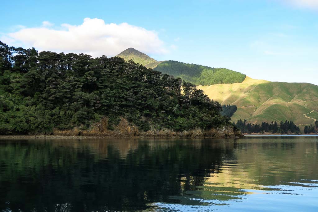
6. The Marlborough Sounds vs. Abel Tasman National Park: We can’t say we preferred one over the other. They’re very different; so it’s apples to oranges. Actually the vegetation is similar in both areas, but the feeling is very different. Picture the sounds as still waterways amid high, forested mountains–it feels like cruising amid mountaintops. Picture the Abel Tasman as a sunny area of coastline with forested hills, long stretches of golden sand beach, and pretty coves. The Abel Tasman area also has milder, less dramatic weather than the sounds–a good thing because there are fewer protected anchorages, although the long Farewell Spit and large D’urville Island provide enough protection from swells to make this (generally) an area of still-water bays.
7. The Marlborough Sounds Information Page: We’ve consolidated all our posts and maps into a Marlborough Sounds section in our Cruising Information Pages. We do this to share information and help other cruisers. Our goal is to put in a few more of these for areas we’ve covered, but the incentive to actually get them done generally relates to the amount of confusion and frustration we’ve had due to a lack of information or misinformation.
In fact, this brings me to my decision to write next about Abel Tasman National Park: more misinformation! At our anchorage after the French Pass, we talked to a local boater, telling him we were headed to the Abel Tasman. He quickly told us to be aware that there are only three anchorages there and named them off for us. Really? Because I’d carefully researched and planned our cruise, understood the weather patterns and forecasts, and was able to pick out 15 possible anchorages for us. Once again it’s a reminder to beware of the “facts” that people supposedly in the know share with you. I can’t believe some of the statements people have made. It’s stuff like this that inspires us to create our Information Pages. –Cyndi
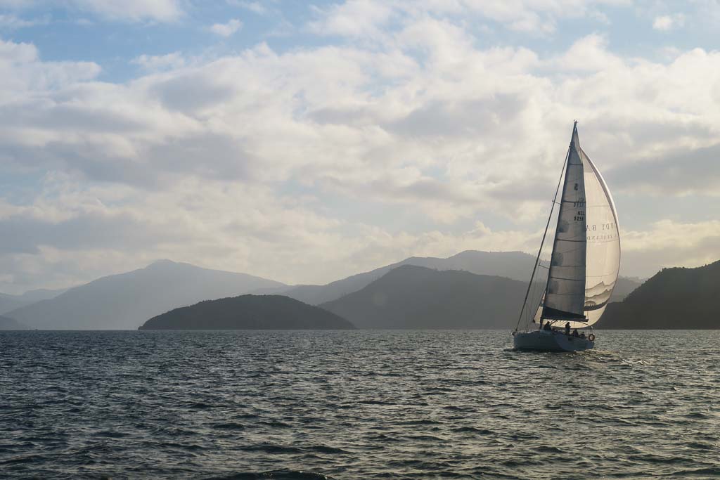
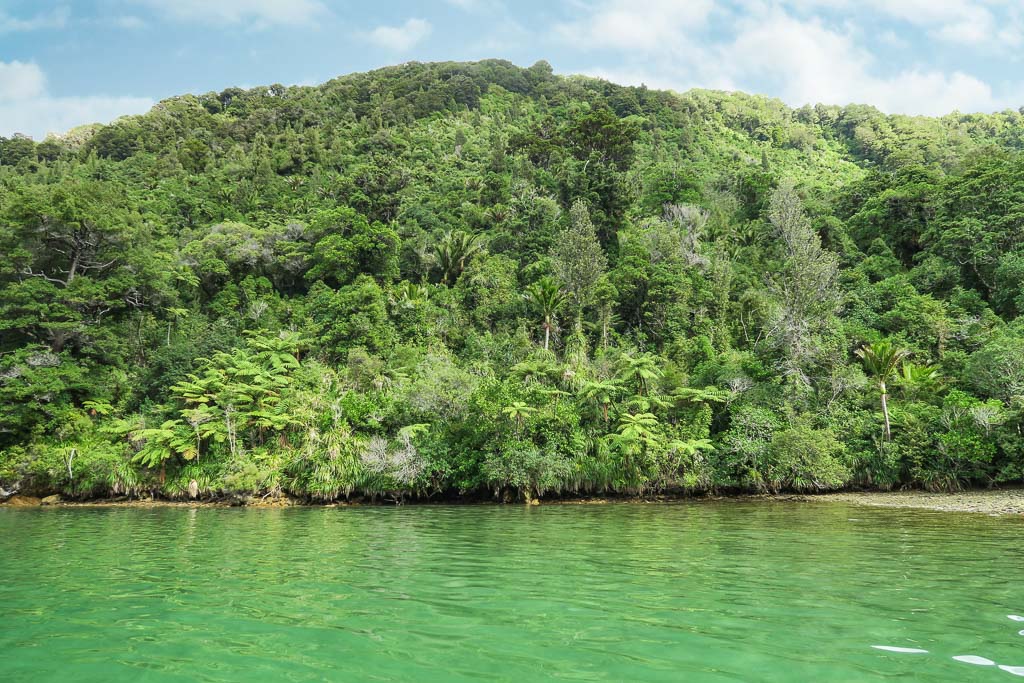
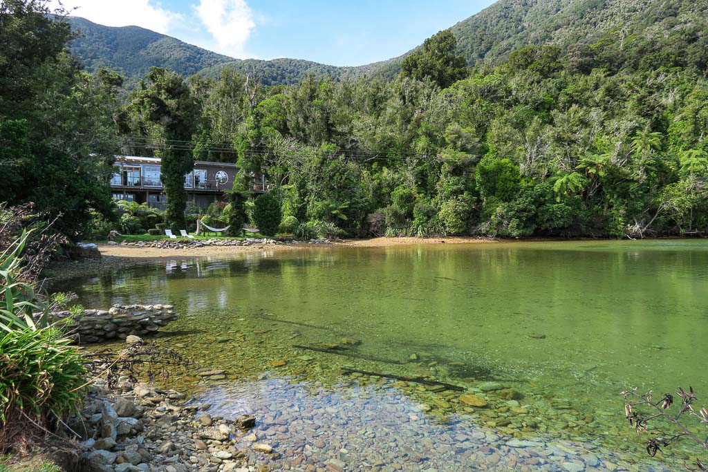
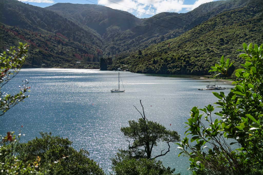
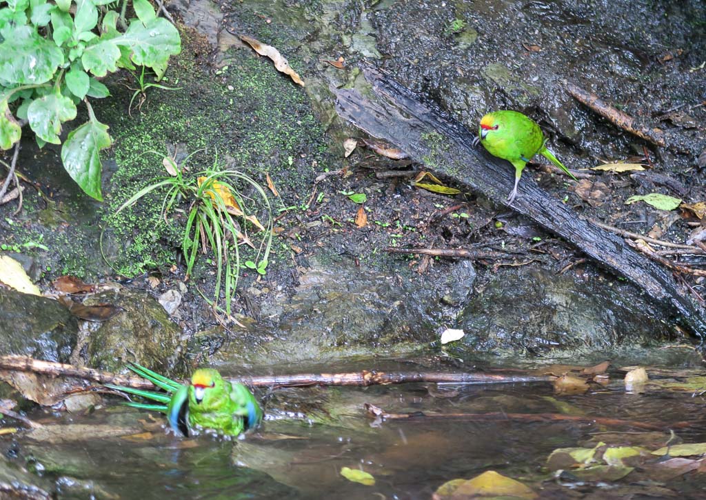
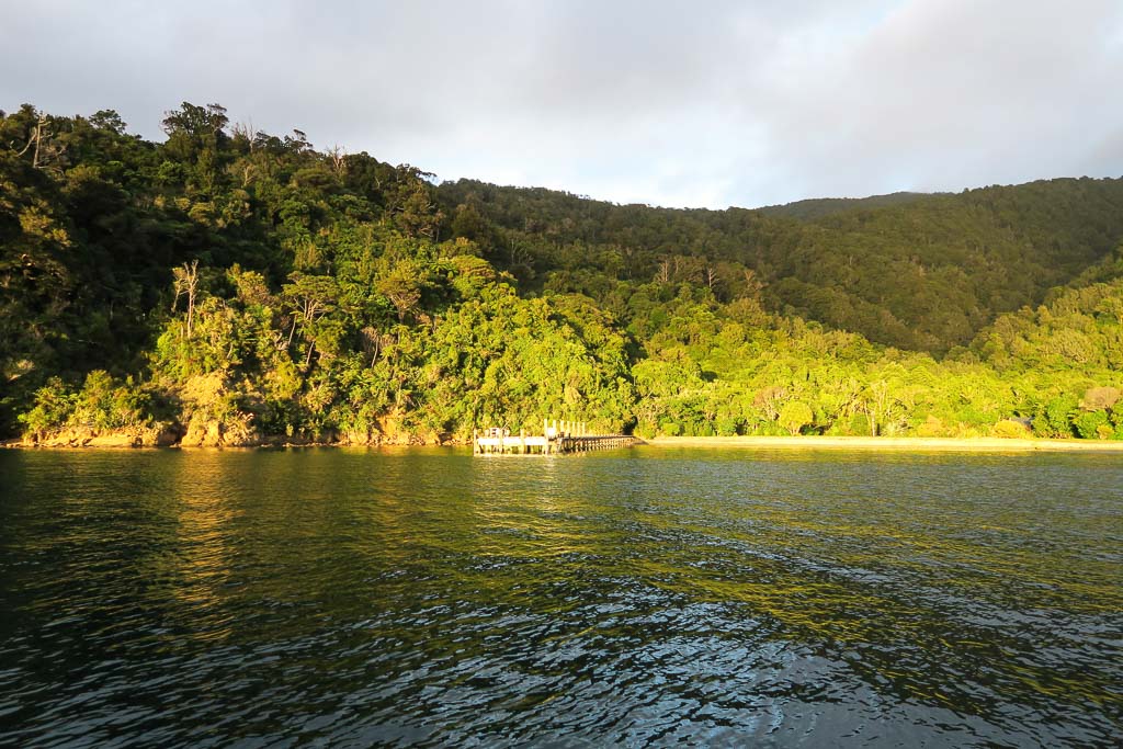
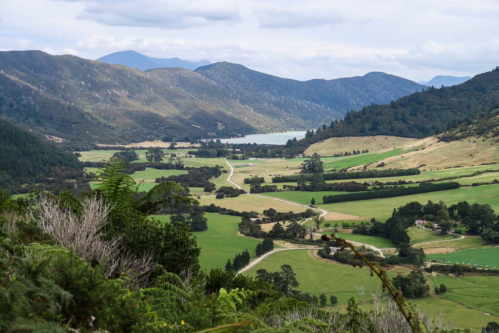
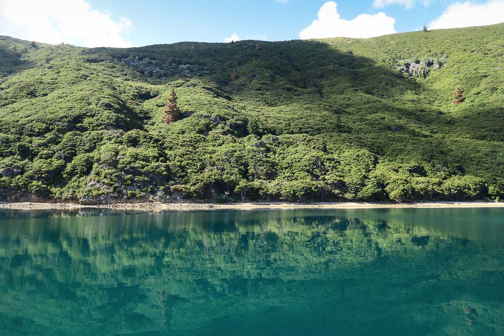
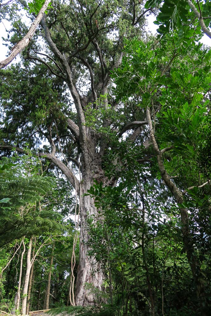
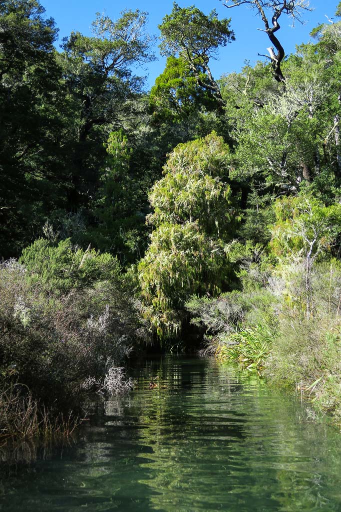
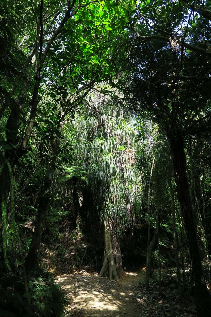
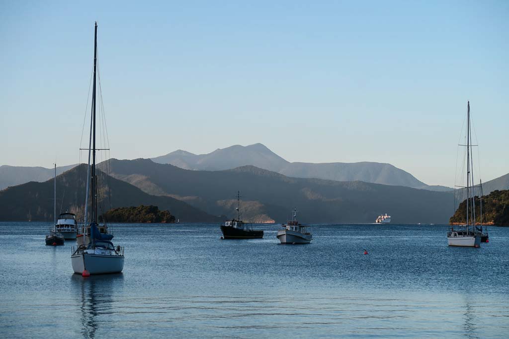
Below, a hodgepodge gallery of sounds photos that I liked but didn’t make it into the posts. Here’s their second chance.