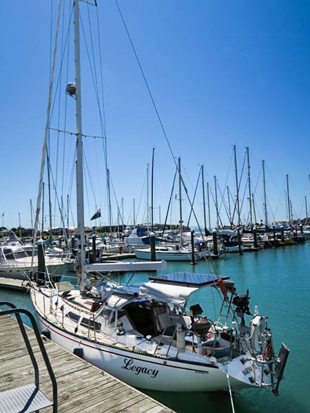
We’re on our way to the South Island and in the roaring forties.
This is a notorious area of the Southern Ocean where wind, waves and storms gallop around the globe, unabated by land masses. Shhhh! Don’t wake the beast. So far, it’s smooth and flat!
Hopefully it’ll stay that way for another day or more. We are cruising down the coast of the North Island of New Zealand and it’ll hopefully block the worst of what the ocean can do down here. The break between the two islands that we must cross, the Cook Straight, might not be so calm. Keep your fingers crossed for us! -Rich
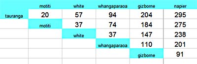
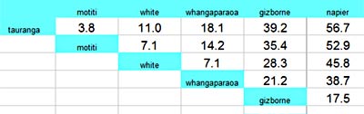
Lets see… We need to get to Napier, 280 miles away. We need to get there in daylight. We need to get there before the wind picks up. We’ve got to get around East Cape while the winds are westerly or northerly. We can’t get out of our berth when the tide is running. When’s slack tide? Shall we stop along the way? Where? How many stops?
That’s as far as I got before my head exploded. Brainy bits all over the place. The explosion was caused, in part, by trying to keep track of distances and the times it would take to cover those distances. Enter these tables…
Distance SpreadsheetTime Spreadsheet
While not 100% accurate due to the extra time and distance entering and leaving anchorages at the various destinations, it was good enough and a real help in planning. I think I’ll make these more often. -Rich
We’re here! At the Napier Sailing Club! Tied up! More than half way on our trip from Tauranga to the Marlborough Sounds on New Zealand’s South Island.
We were in Napier two years ago, by car, and loved the town. In an hour or so, we’ll be heading over to our favorite restaurant (so far): Mexi Mama. It’s a six minute walk from the marina. What more could we want?!
Check out the map in our previous post for our location.
We made such good time on our way to Napier that we were able to stop last night and anchor, and still make it into the marina at Napier before any bad weather and during daylight hours. What a treat.
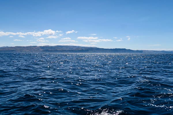
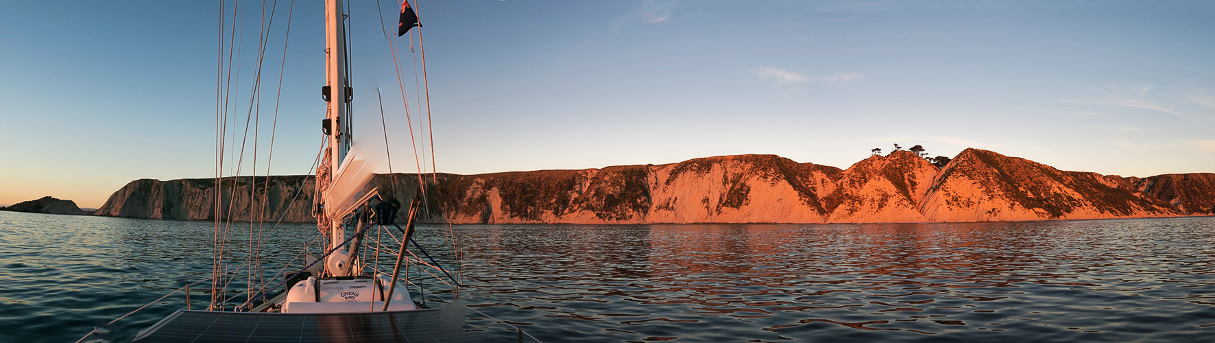
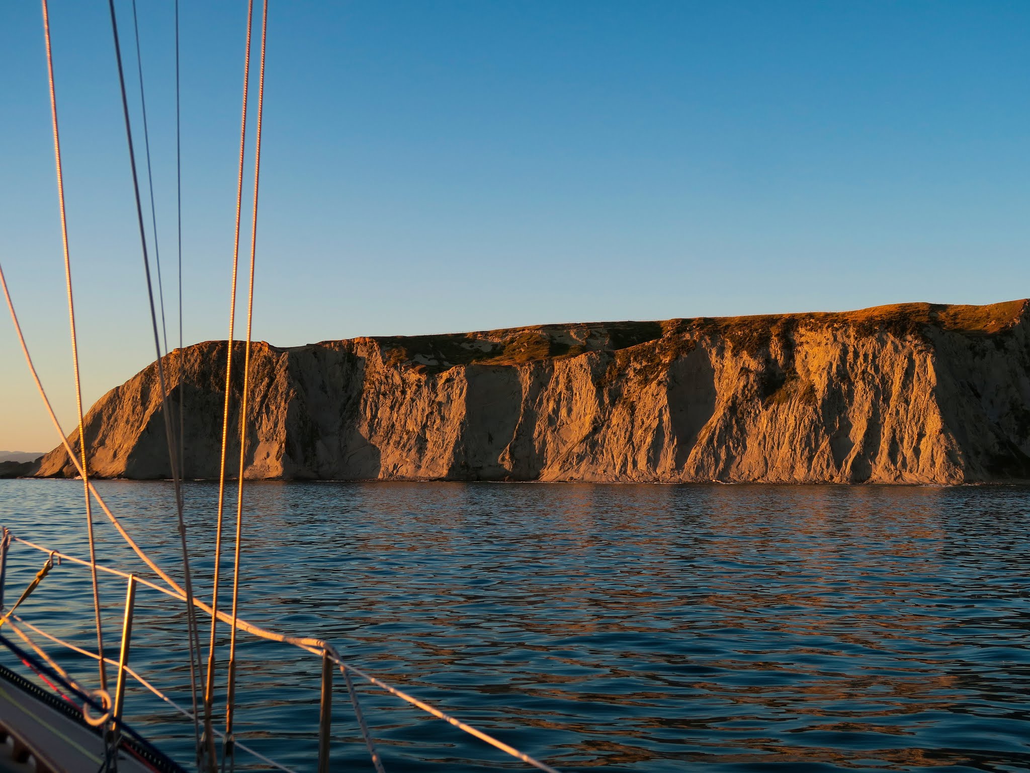
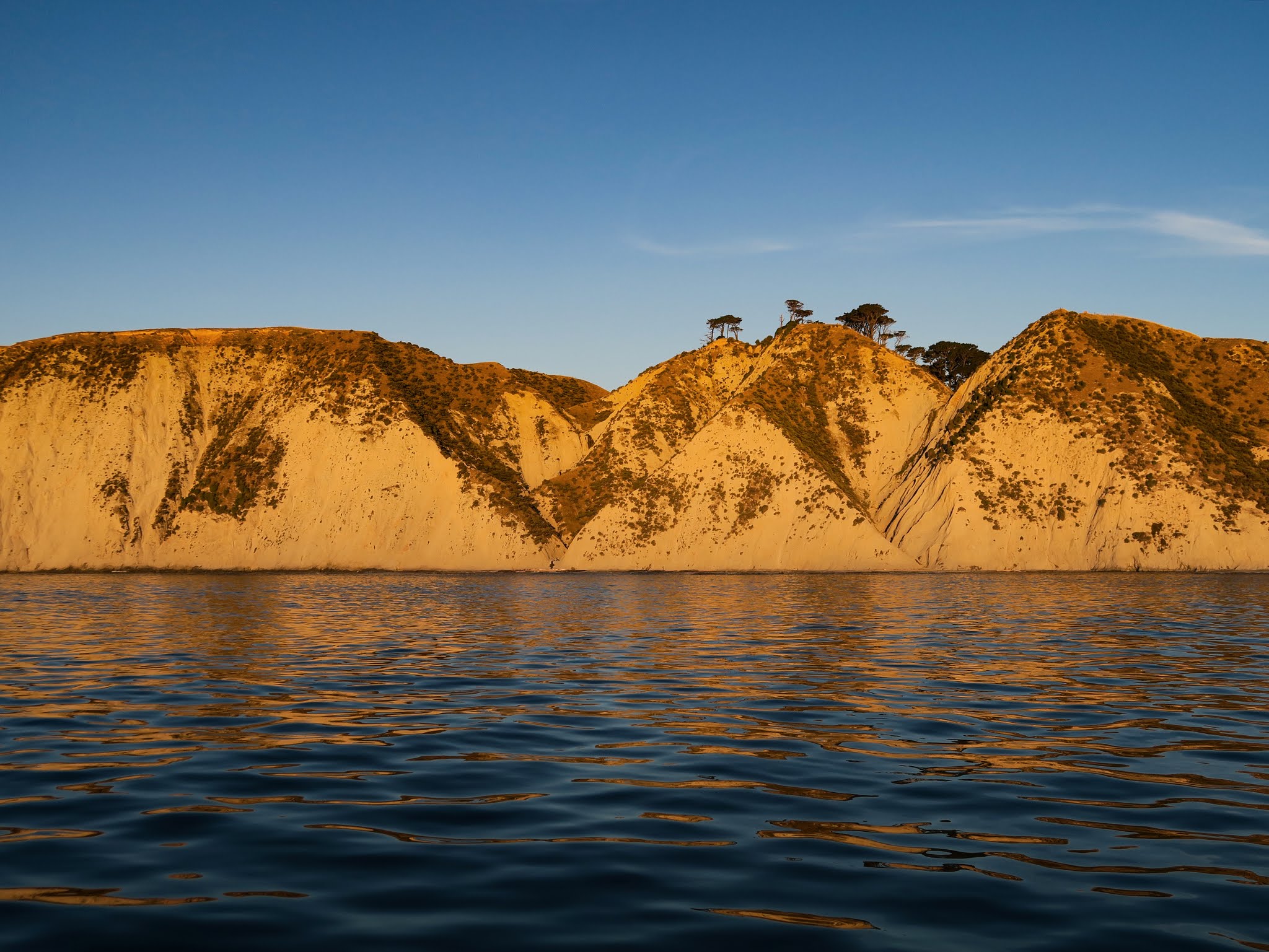
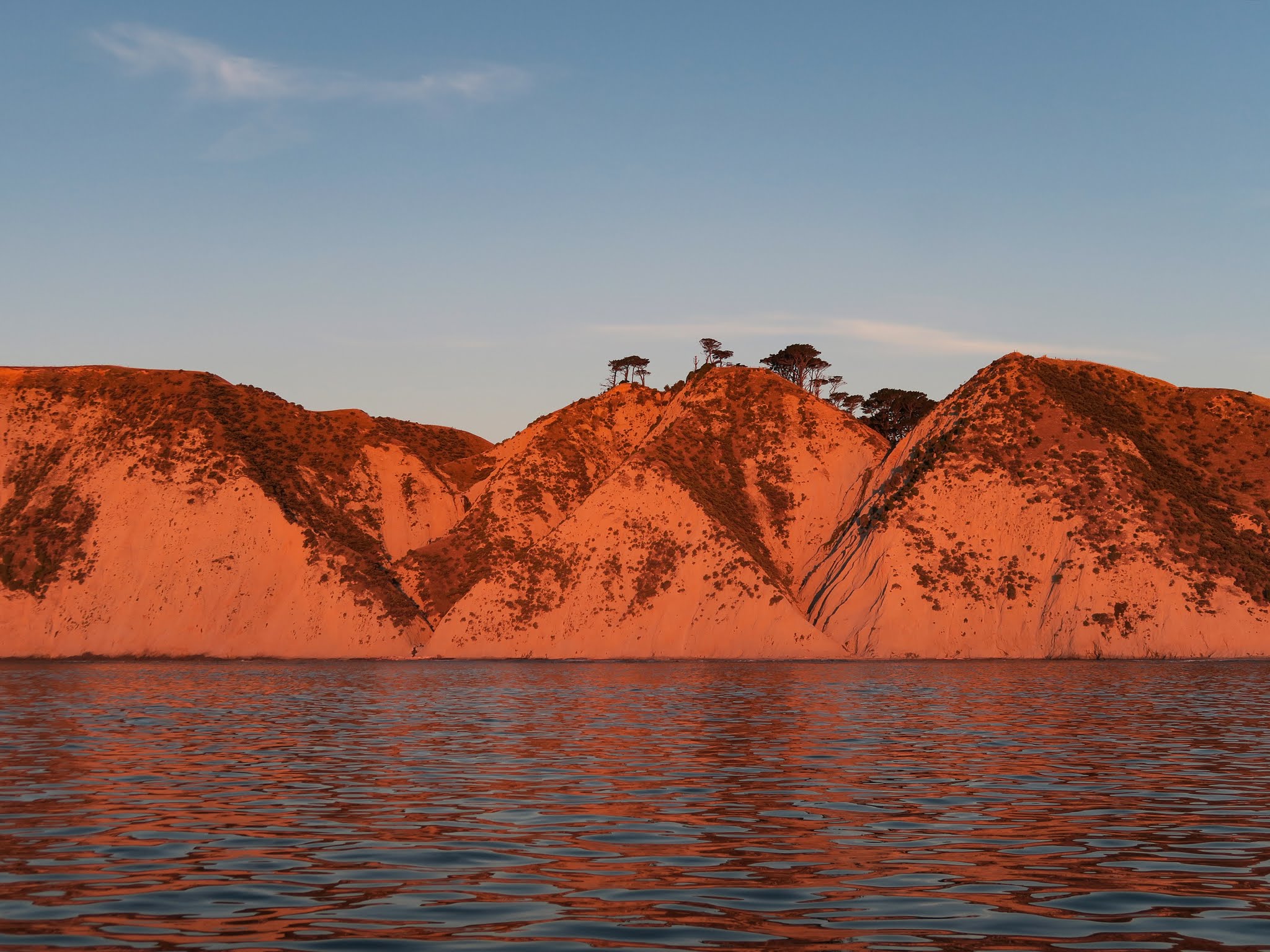
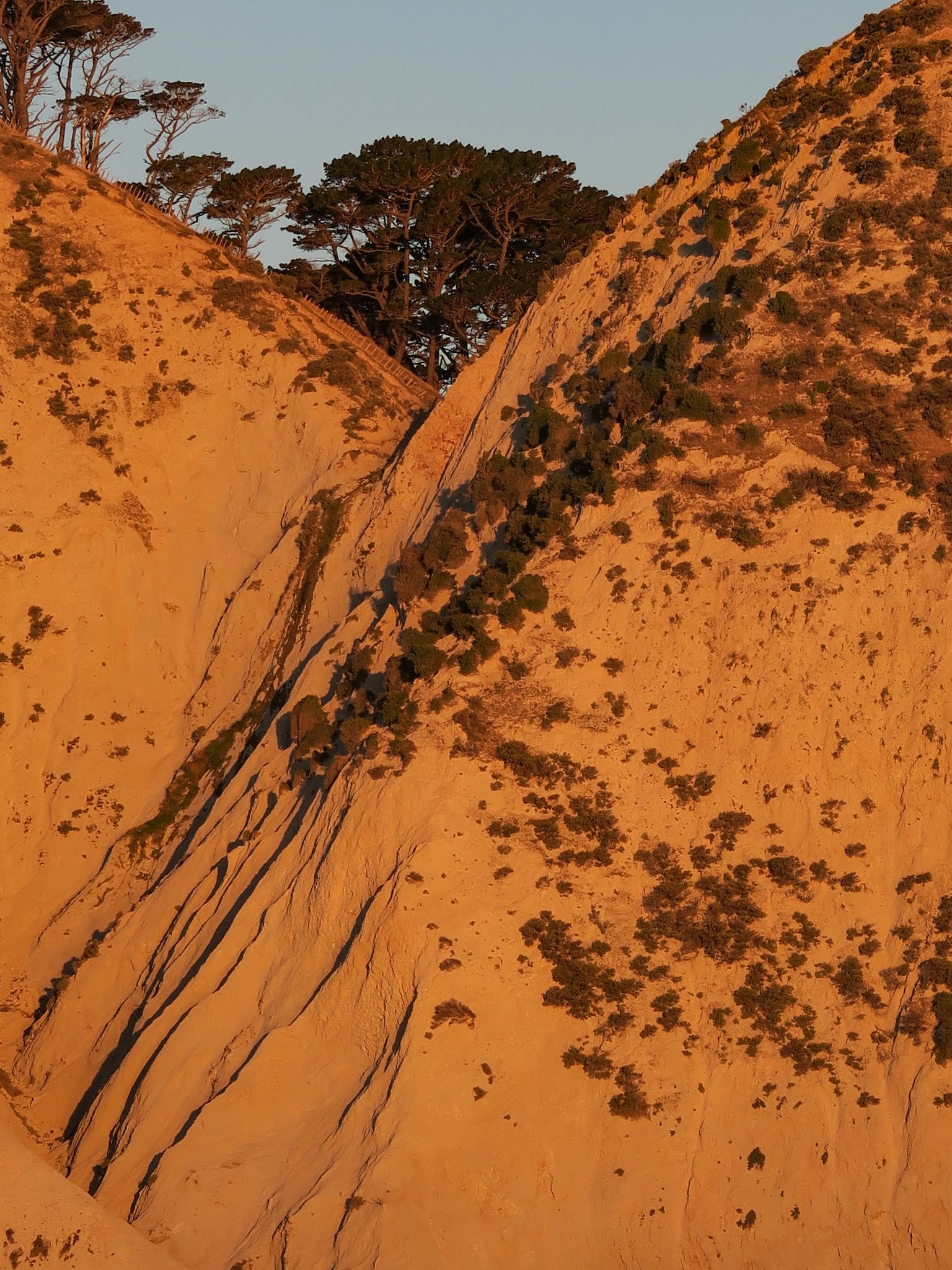
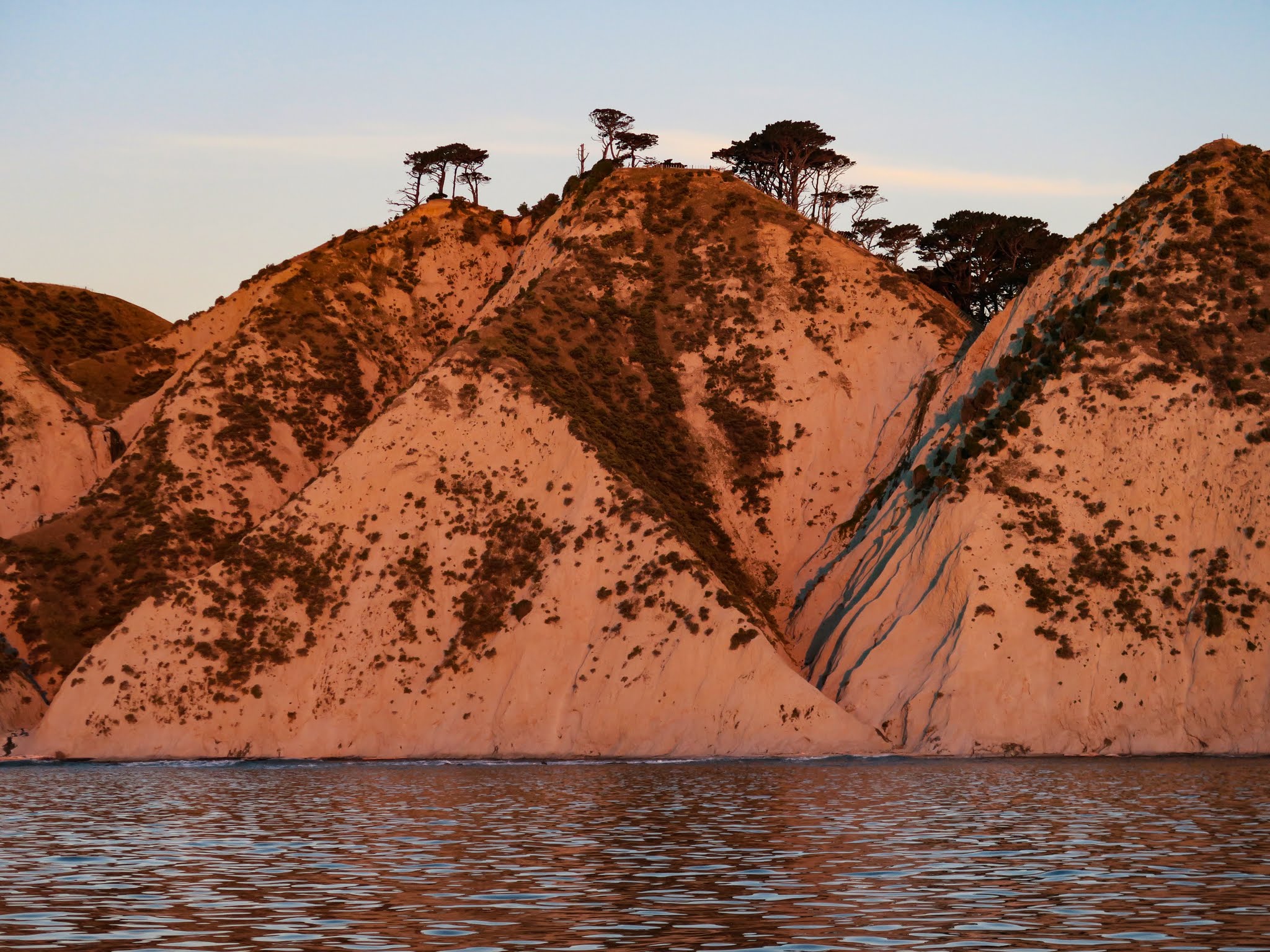
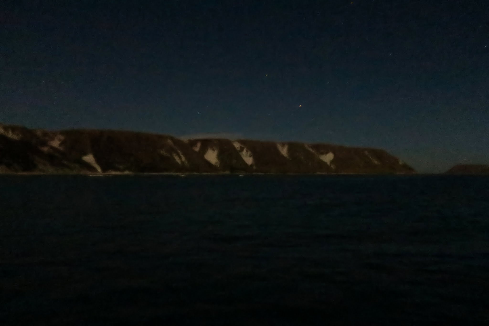
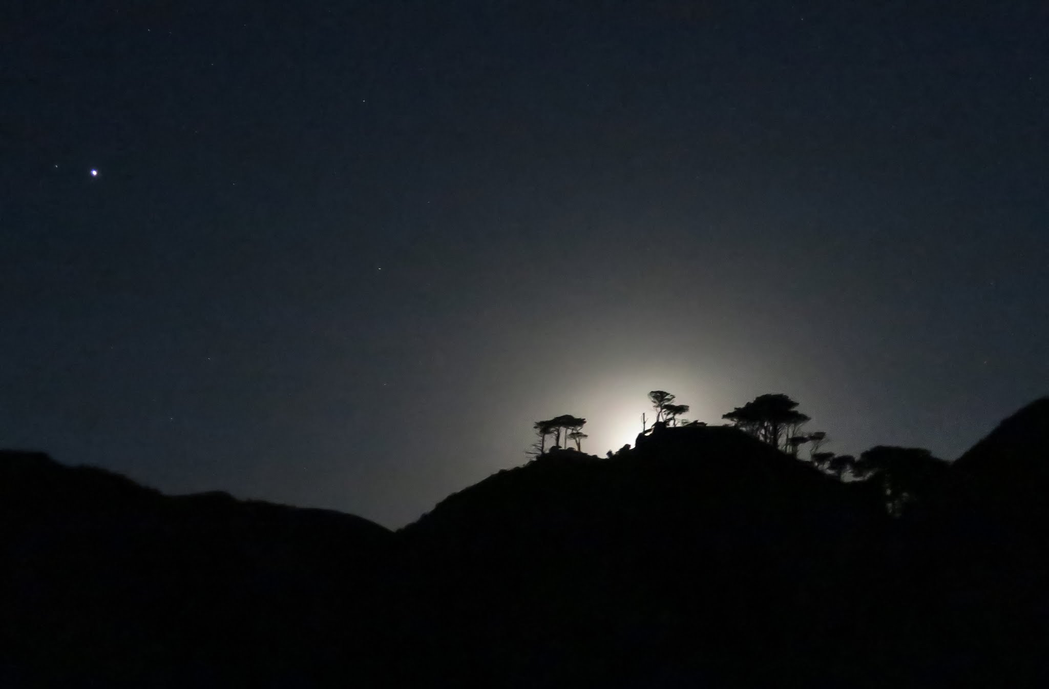
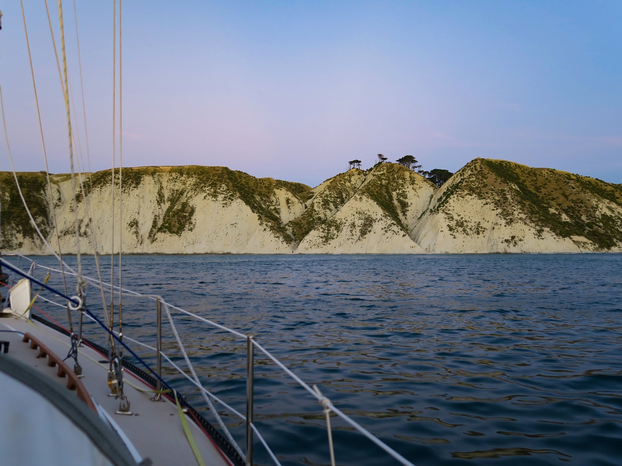
Cyndi, using her incredible research skills, found us a nice bay that was just about on the way: Ahuriri Cove.
Ahuriri Cove (click for larger version)
As the sun set and the moon rose, the colors on the sandstone hills changed from tan, to orange and red, to subtle greens. At one point, the shadows cast by trees, shrubs and creases in the cliff changed to blue. After the moon came up, the sand patches looked like show covered hillsides.
This reminded us of being in the Sea of Cortez desert, only prettier. (Click to enlarge/scroll through pictures.)
As anchorages go, it’s not great. It’s rocky on the bottom and a south swell we didn’t even know was there (because it was covered up by the larger swells from at least four other directions) rolled right into the bay. It wasn’t bad, though–we had a very comfortable night.
Note: we wouldn’t recommend cutting in between the island and mainland like we did if the seas are up. There’s a pretty good current through the pass and it probably gets nasty if the current opposes the swell. -Rich
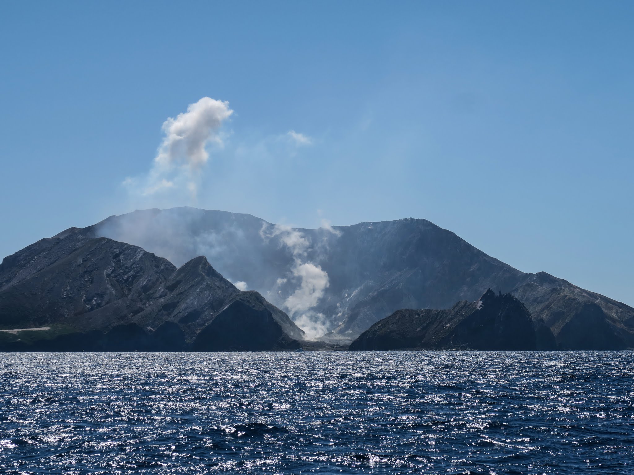
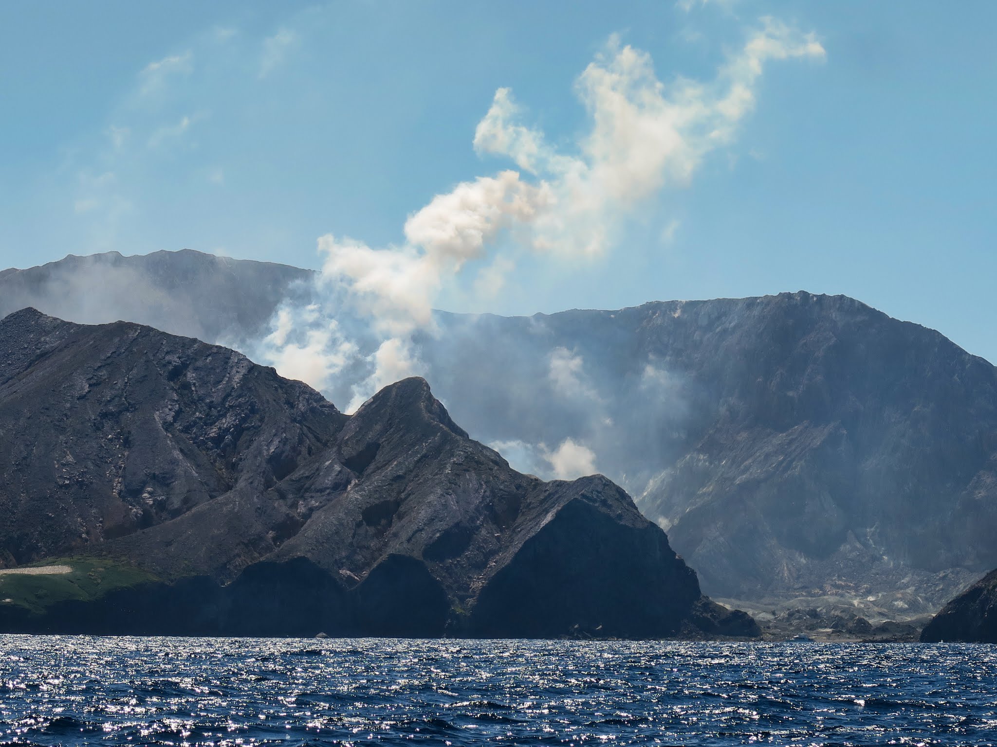
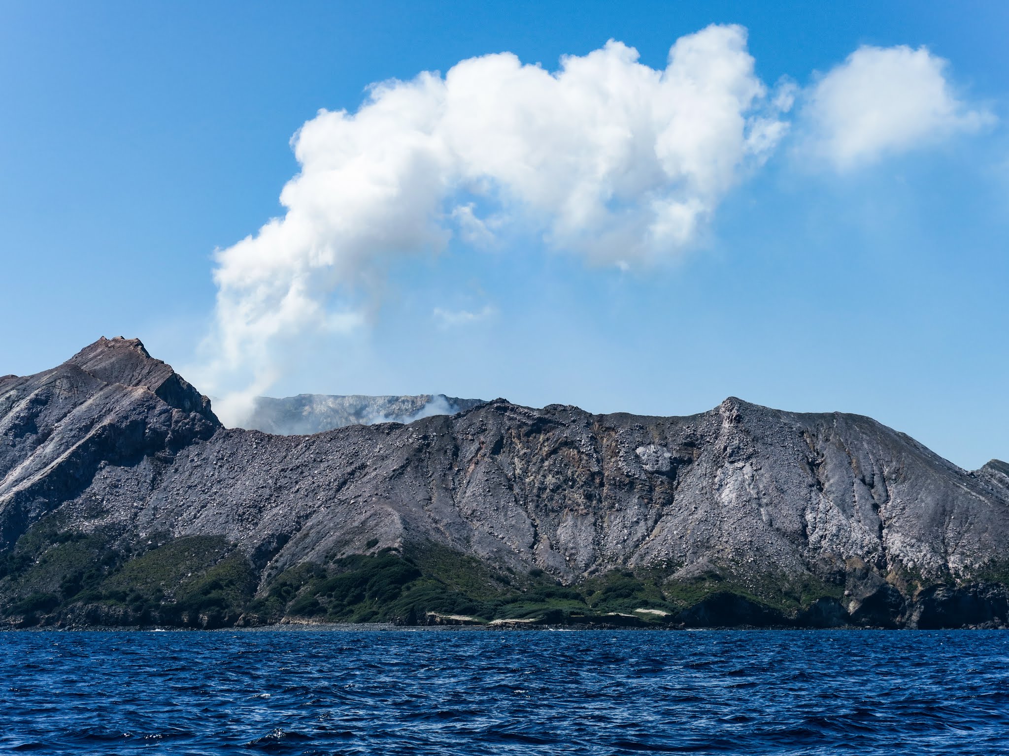
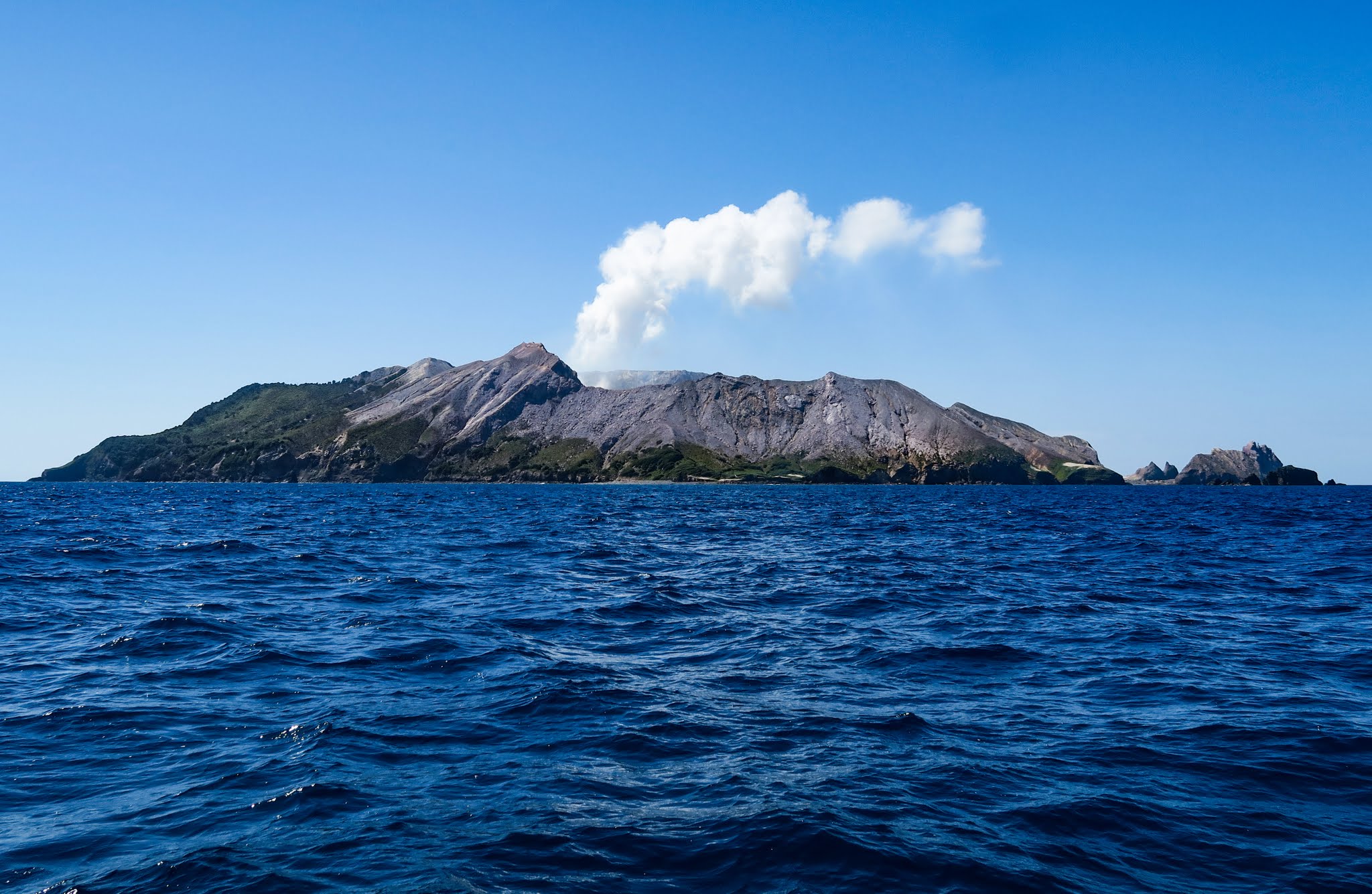
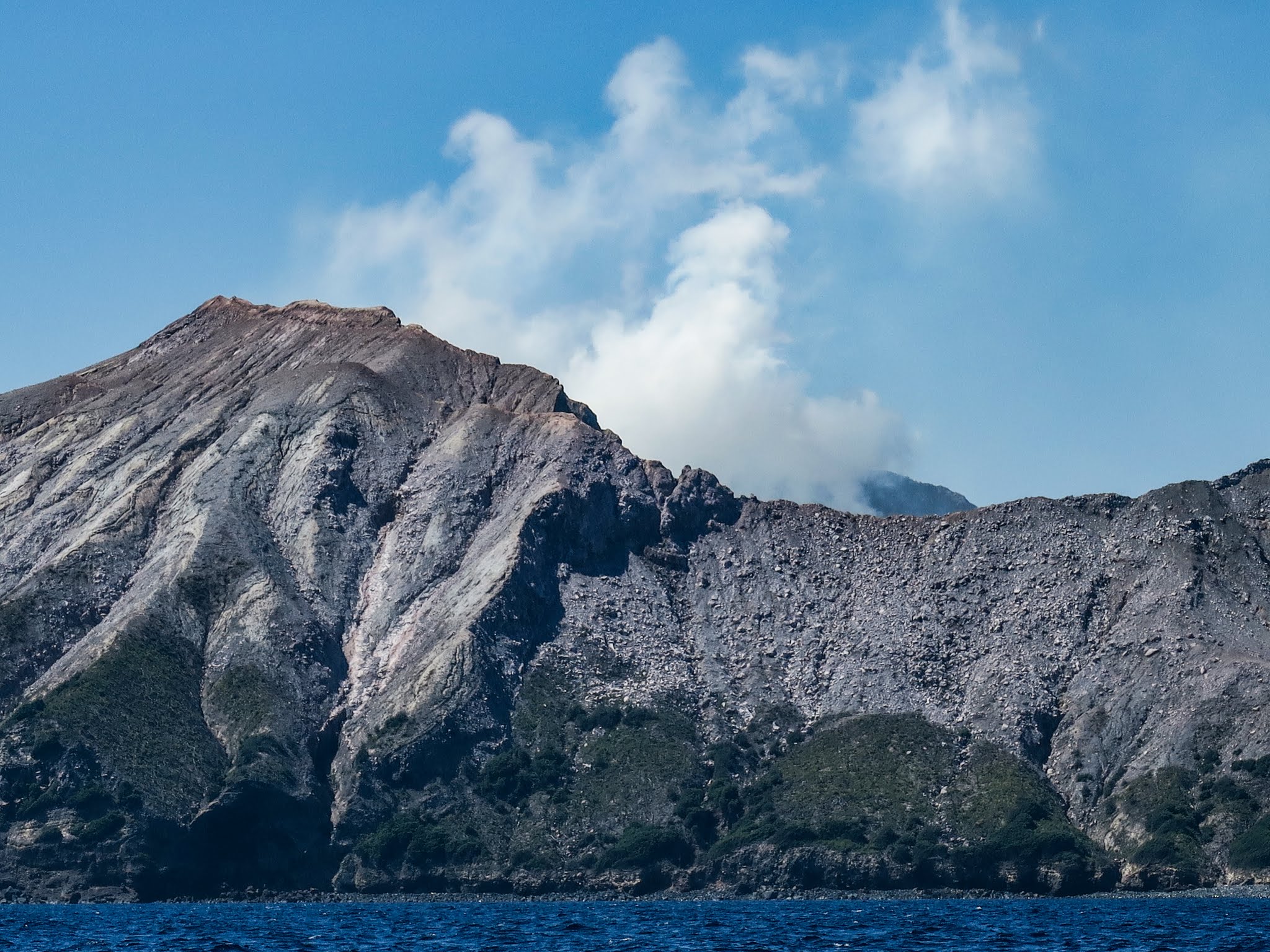
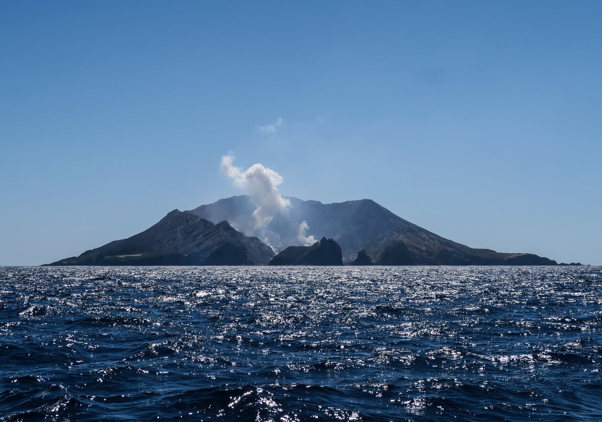
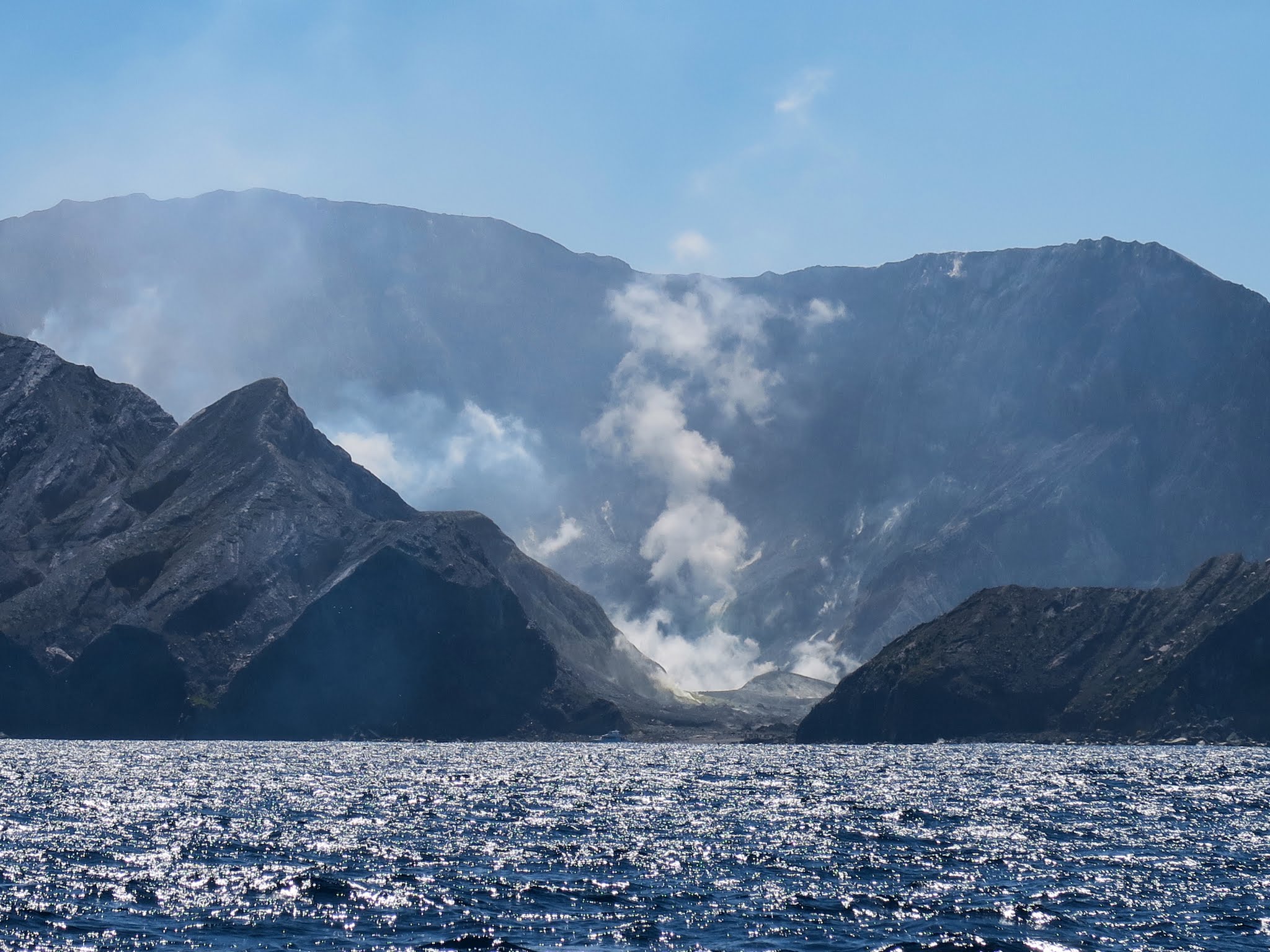
We left Tauranga this morning after almost two months of great eating and hard, productive, satisfying boat work. Eight hours later, we were sailing by an active volcano. It’s on White Island (also called by it’s Maori name: Whakaari).
We passed about a half mile south of it. It’s not the shooting lava type. It’s more a steam vent and bubbling mud kind, accented with that lovely sulphur smell. Here are some pictures…
On this leg, we’re heading about 280 miles to Napier on our way to the north tip of South Island. -Rich