Motoring Back Up the Tennyson Inlet (Pelorus Sound, New Zealand)

April 9, 2016

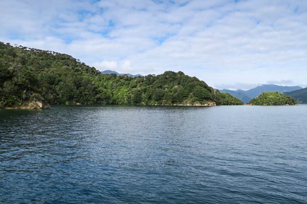
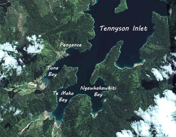
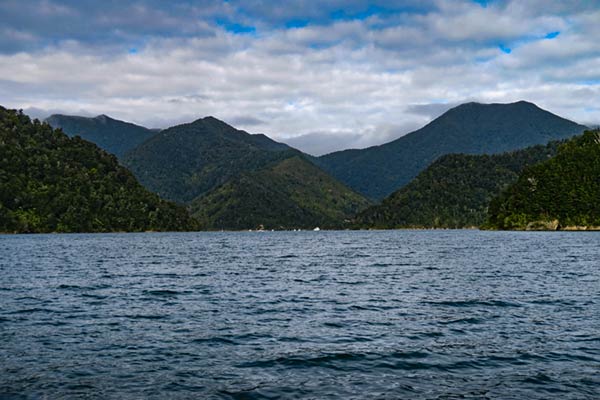
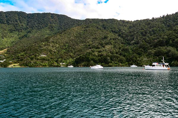
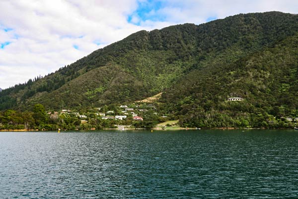
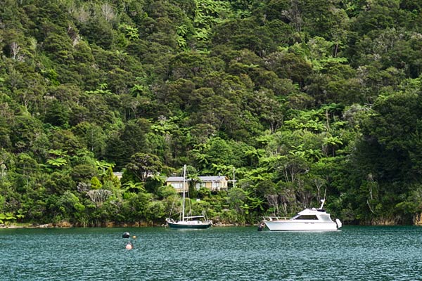
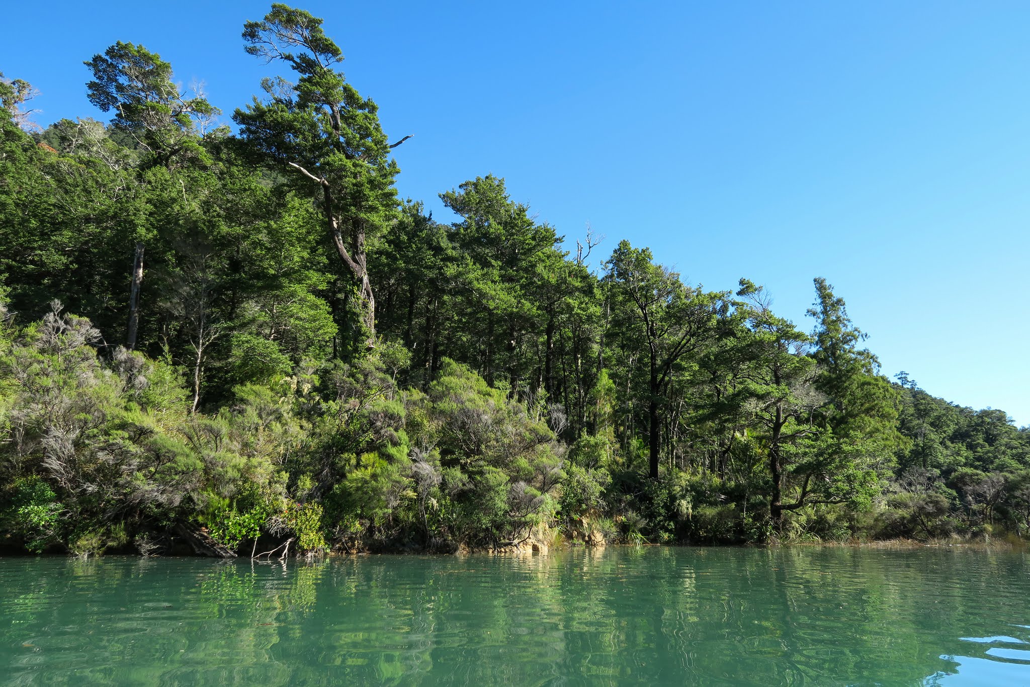
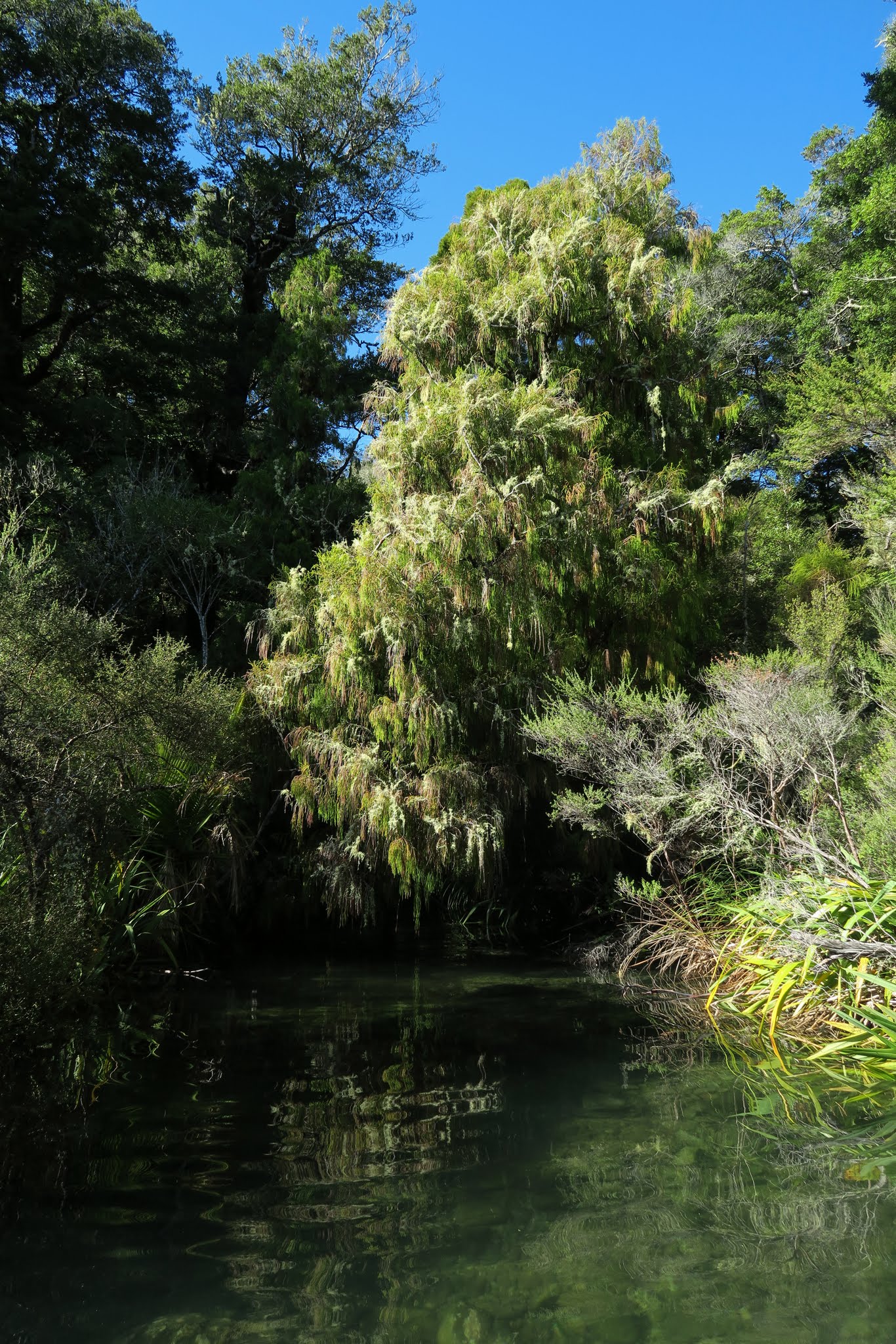
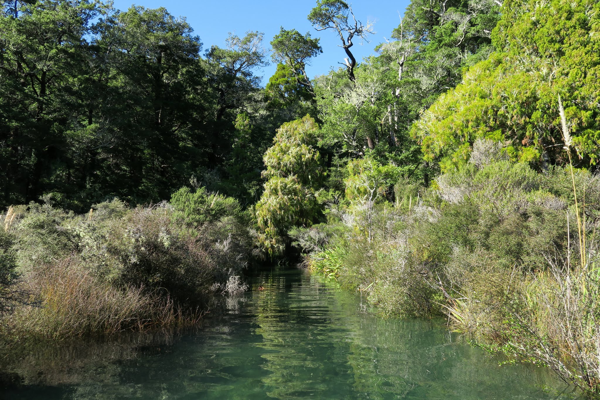
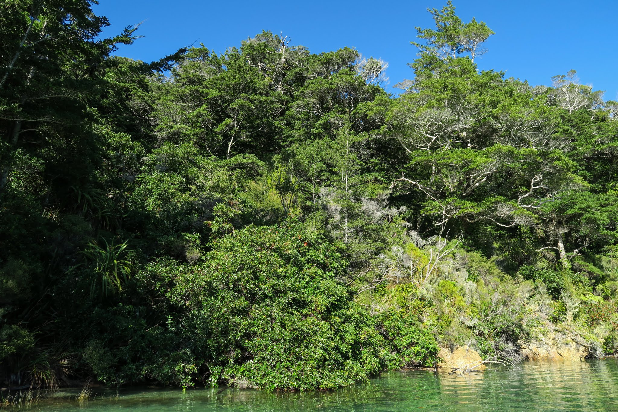
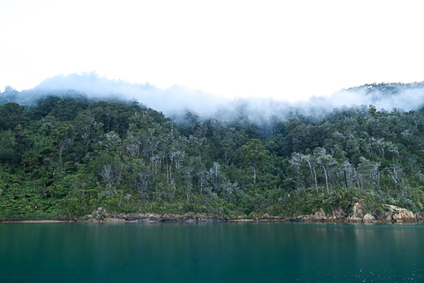
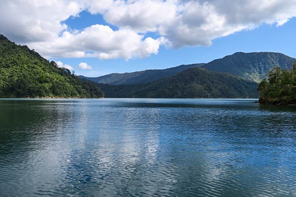
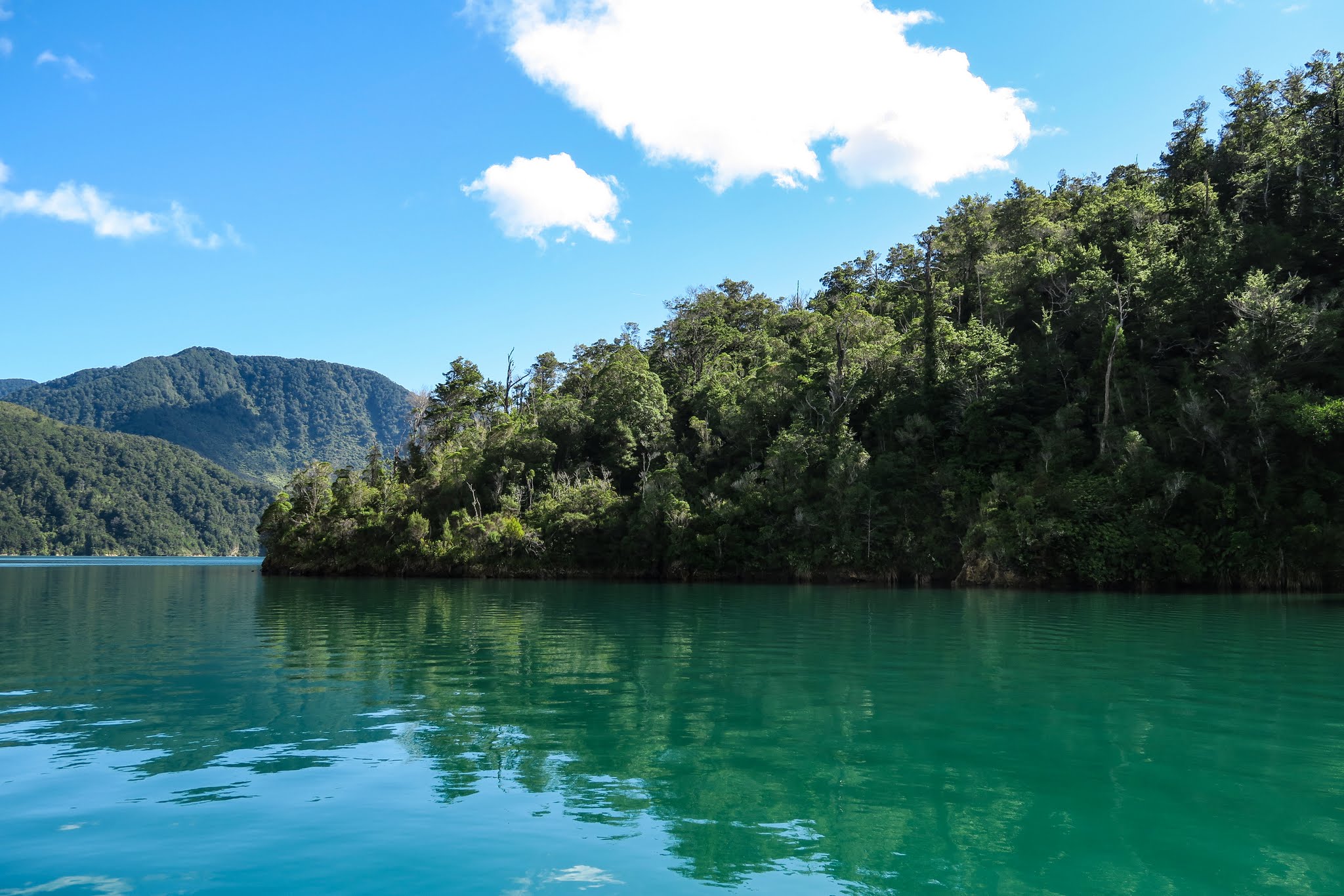
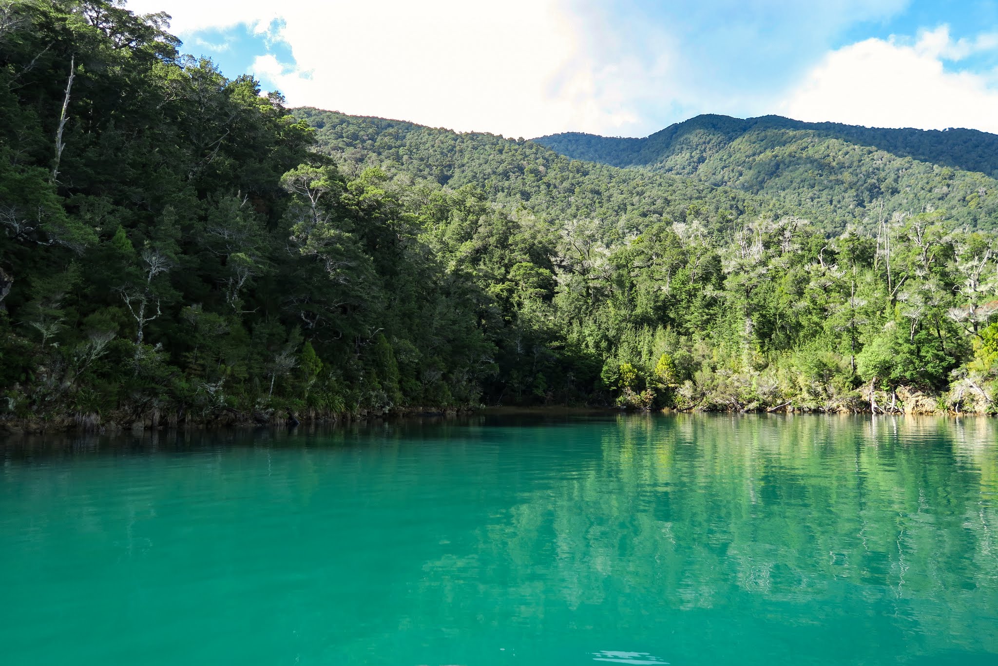
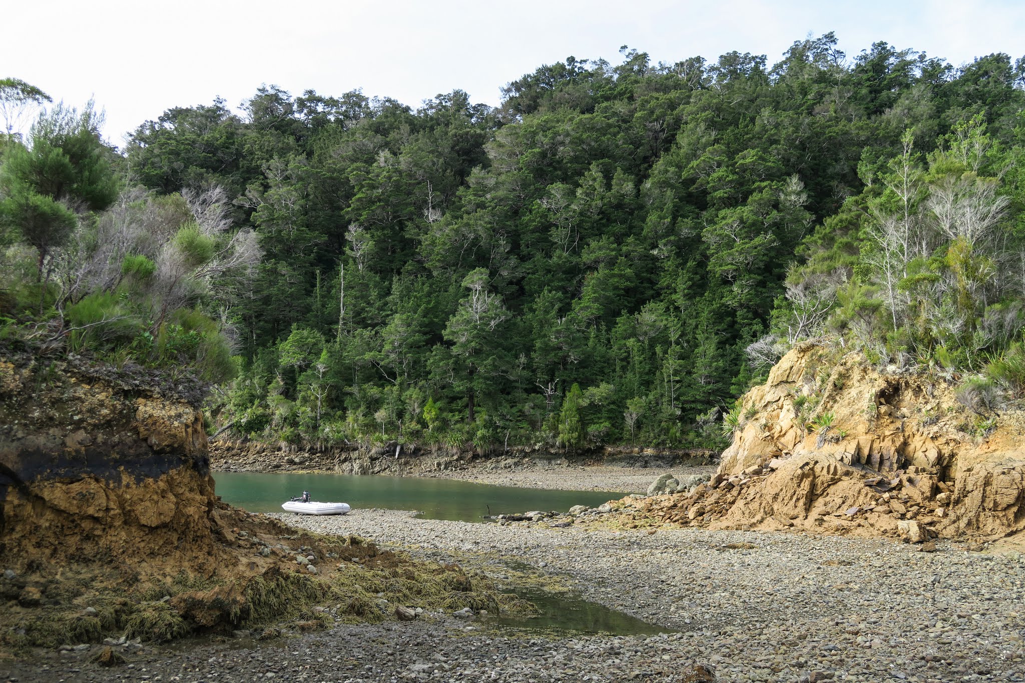
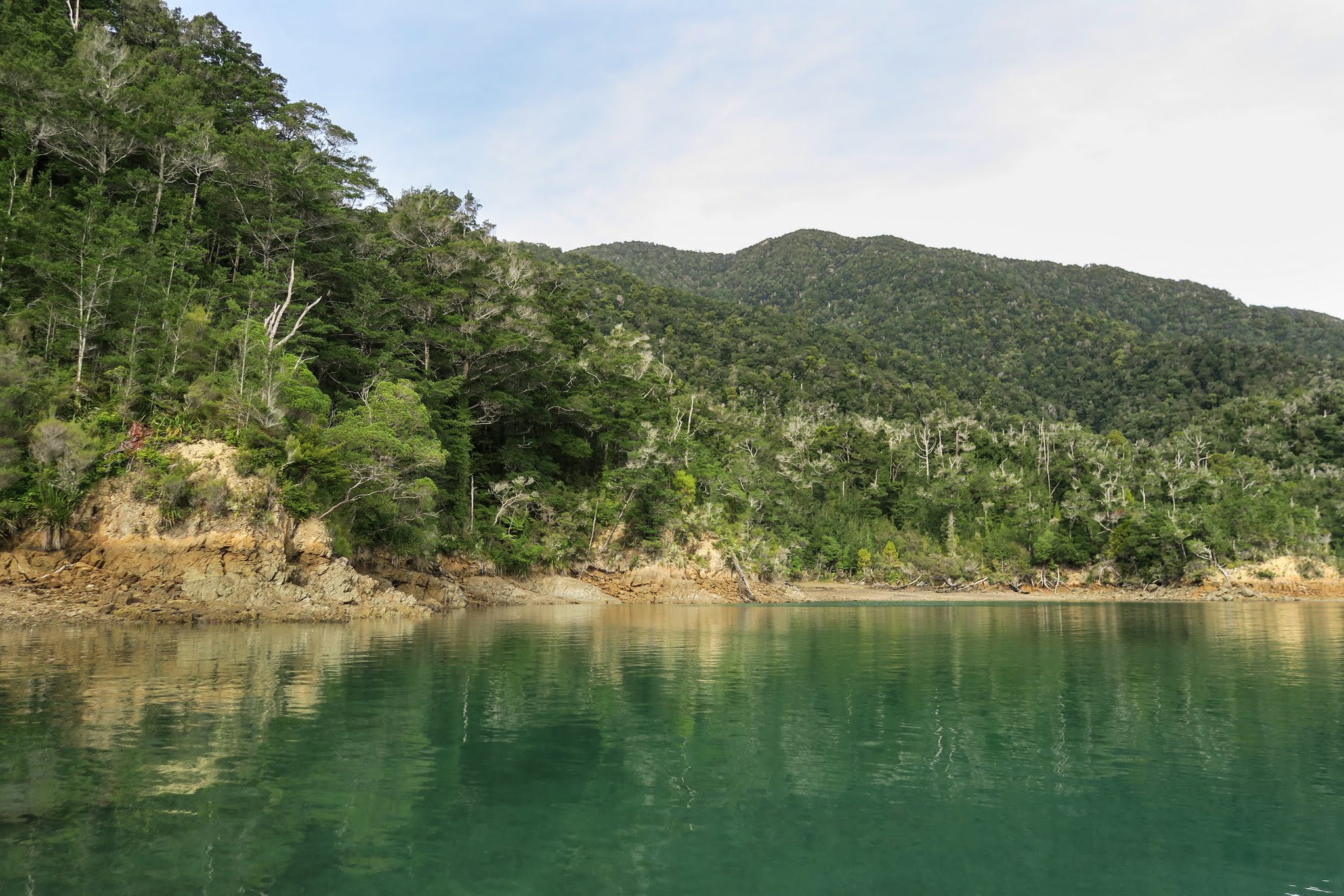
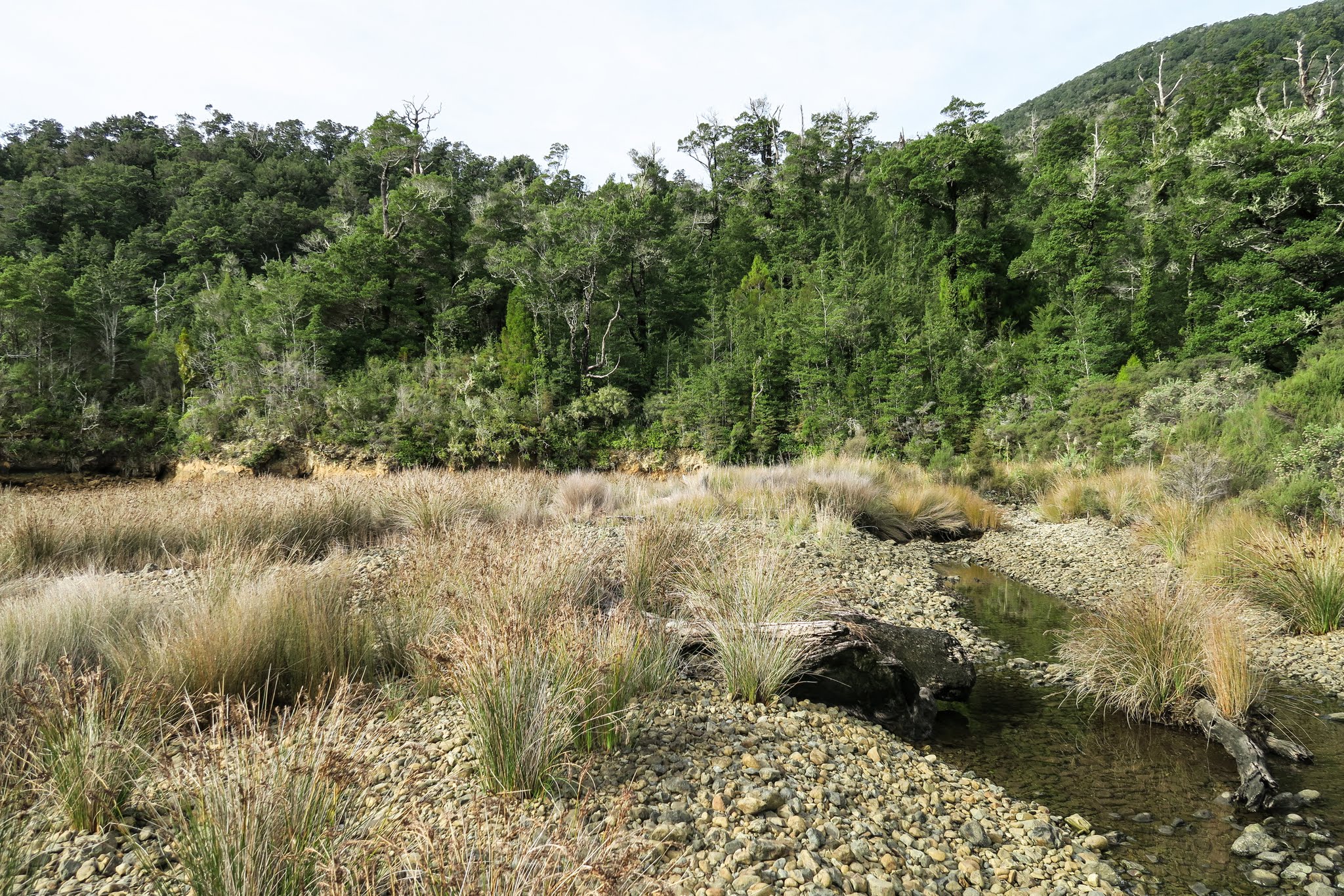
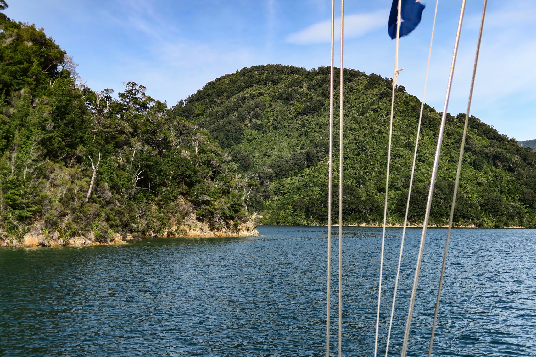
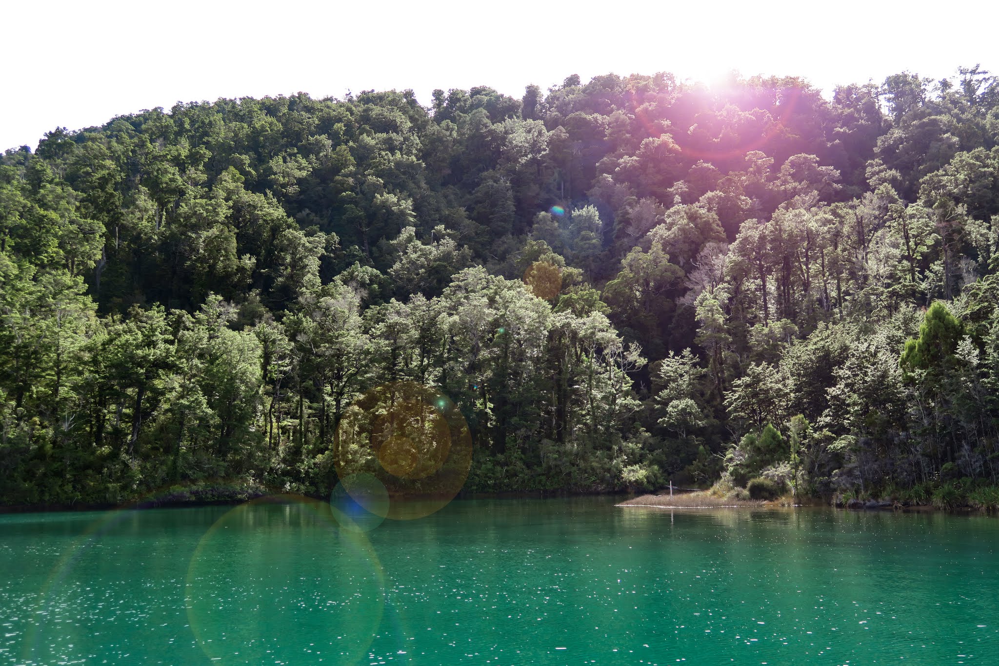
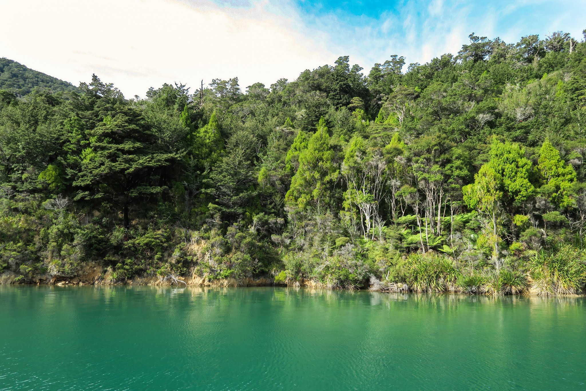
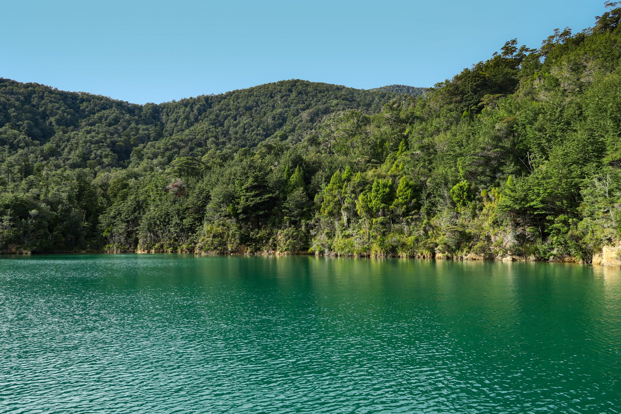
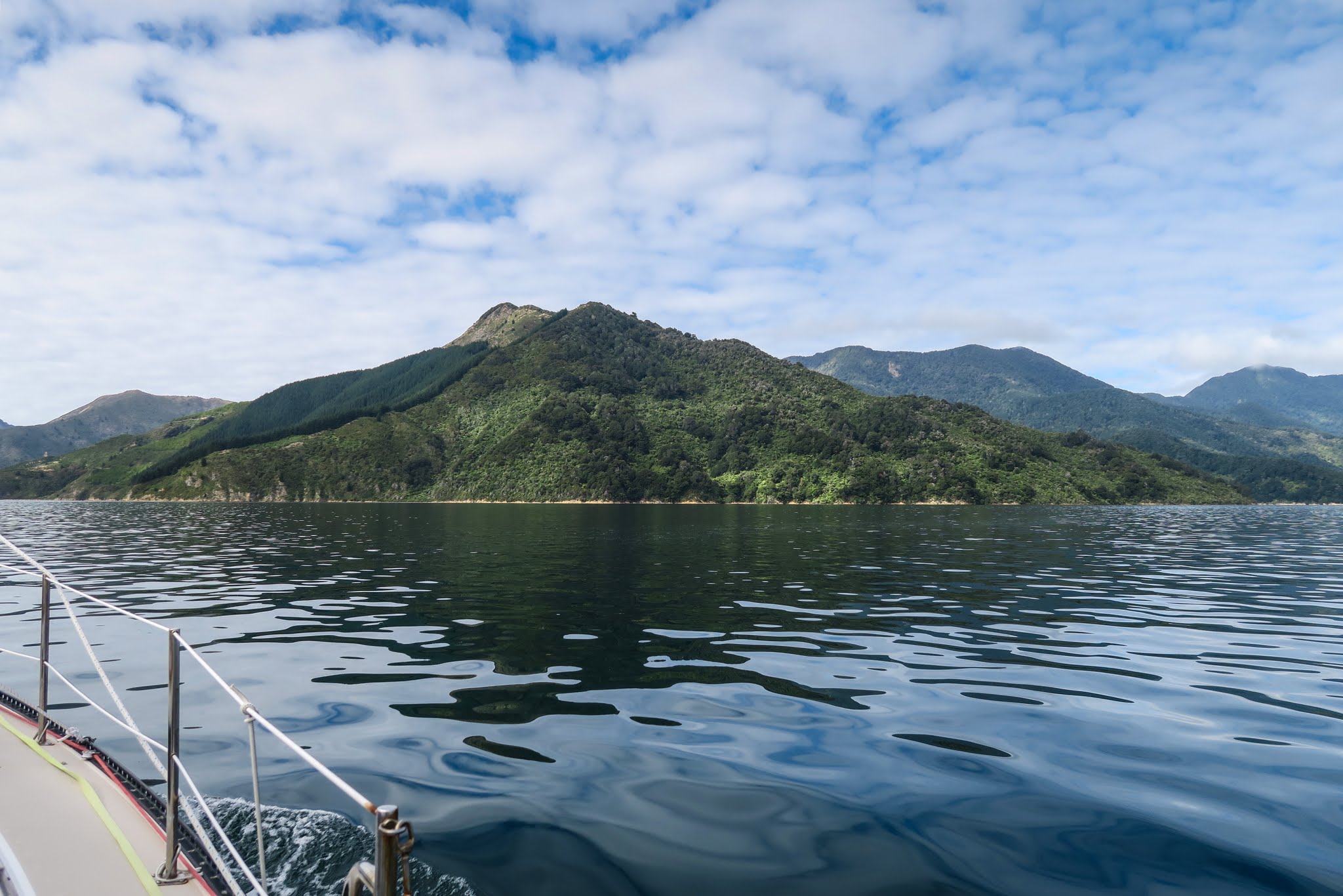
We passed through the channel near Penzance and made our way through to the wider part of the Tennyson Inlet. I was interested in two anchorages, and yep, they looked really promising. So far we had three incentives to get back this way if time allowed. Below, a gallery of motoring through the outer Tennyson Inlet (click to enlarge/scroll).

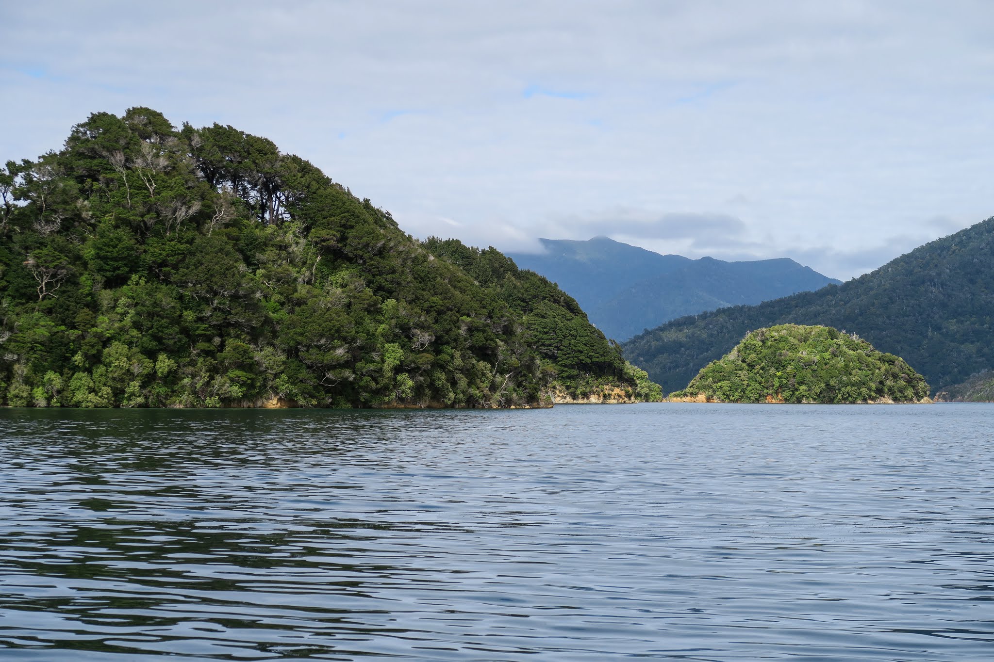
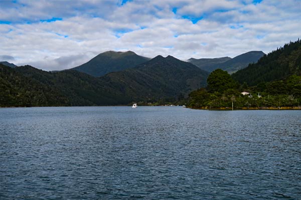
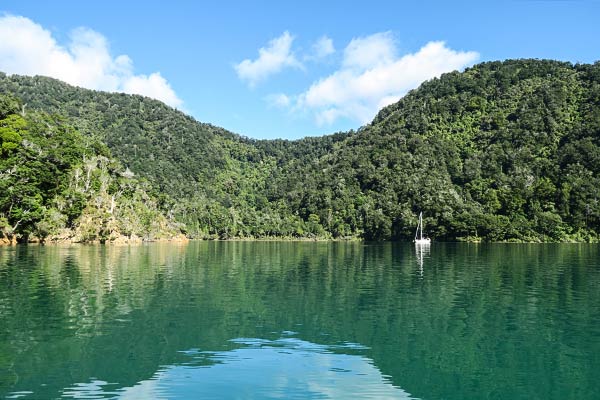
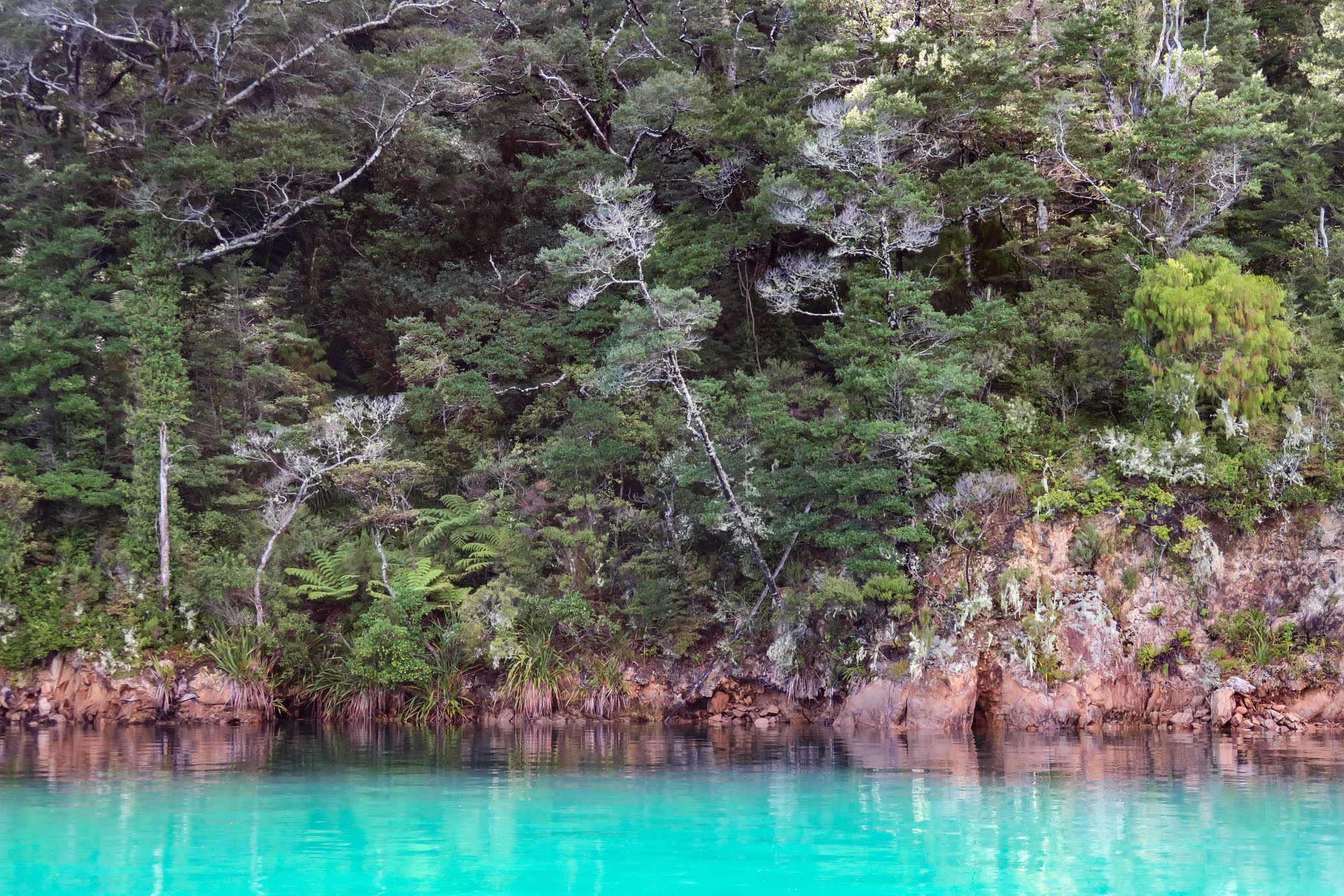
In the middle of Tennyson Inlet were three small islands, the outer of which had an anchorage that hadn’t made my list of possibilities. As we passed that final island, I was intently studying areas on the mainland shore. Rich mentioned offhandedly the island over there looked pretty. I turned to look and caught a glimpse of an absolutely gorgeous-looking anchorage just before it disappeared behind its headland.

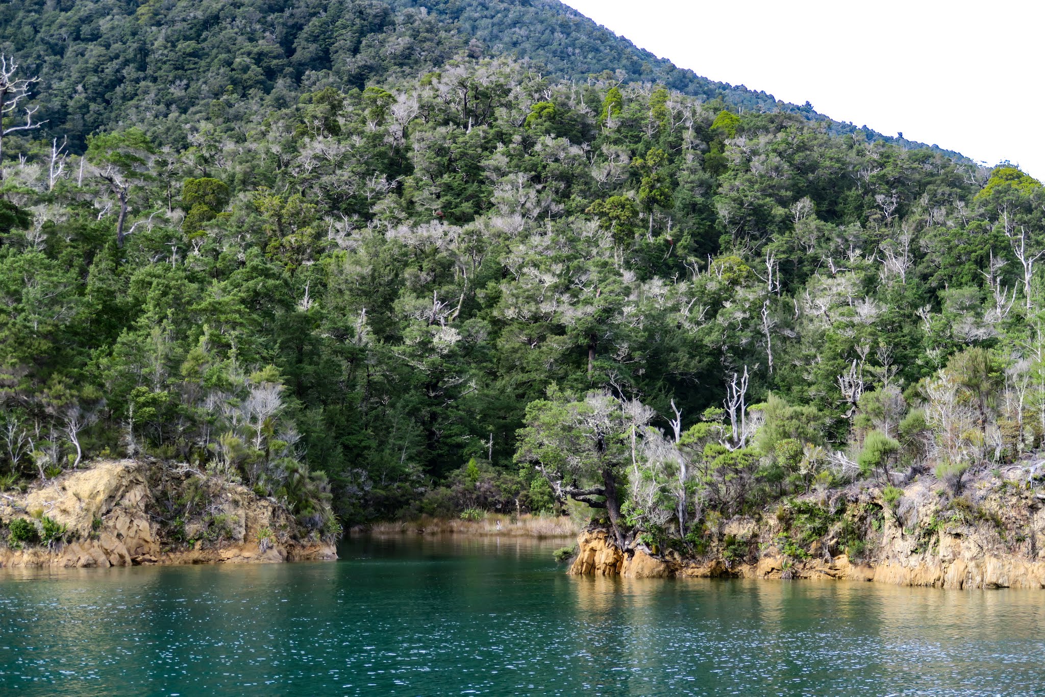
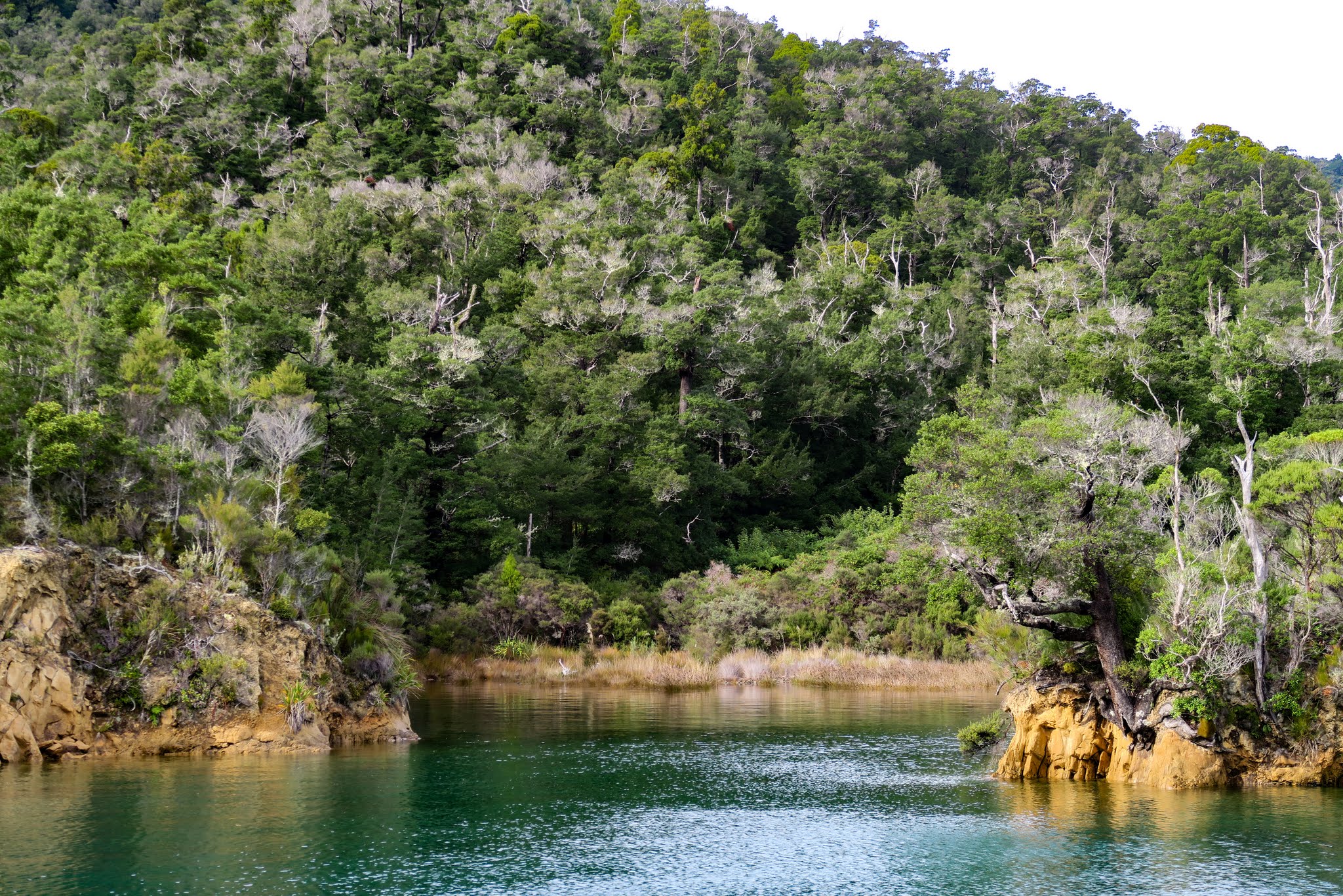
“Oh my God, what was that?” I went on to ask Rich, without hesitation, “Why don’t we go anchor in there?!” On just a glimpse of the place, I was ready to toss out our plans to cover some miles today. Rich said it’s difficult to anchor: there’s a big rock in the middle and we’d need a stern line. Plus we really did need to get to get to Kenepuru before the next round of winds, but he did kindly offer to take me back so I could see it. With that, he turned around and we went back to get a closer look at the island of Tawhitinui. –Cyndi

[Note from Rich: Not “kindly” so much as I knew that while Cyndi wouldn’t say anything, she’d have that hurt little girl look if we passed it by. I try so hard to avoid that look! It’s even worse than the “Wow you didn’t just do that?!” look.]

 Looking back at the outer headlands surrounding Tawhitinui Island's bay. (Tennyson Inlet, Pelorus Sound, New Zealand)

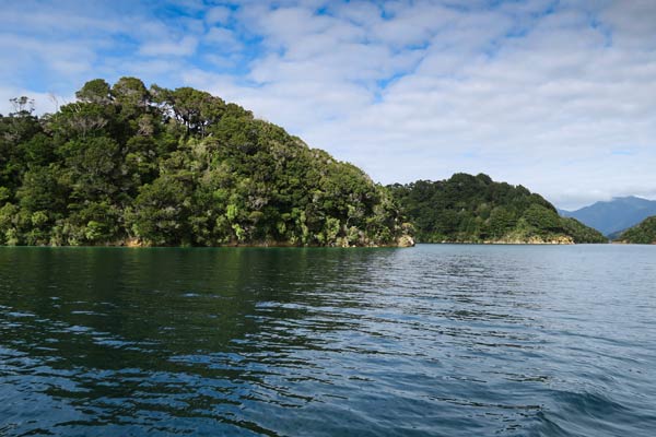
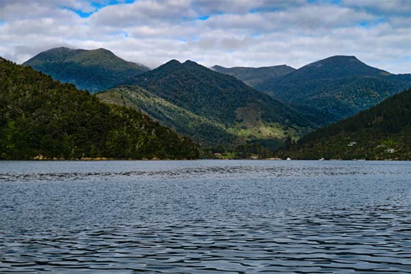
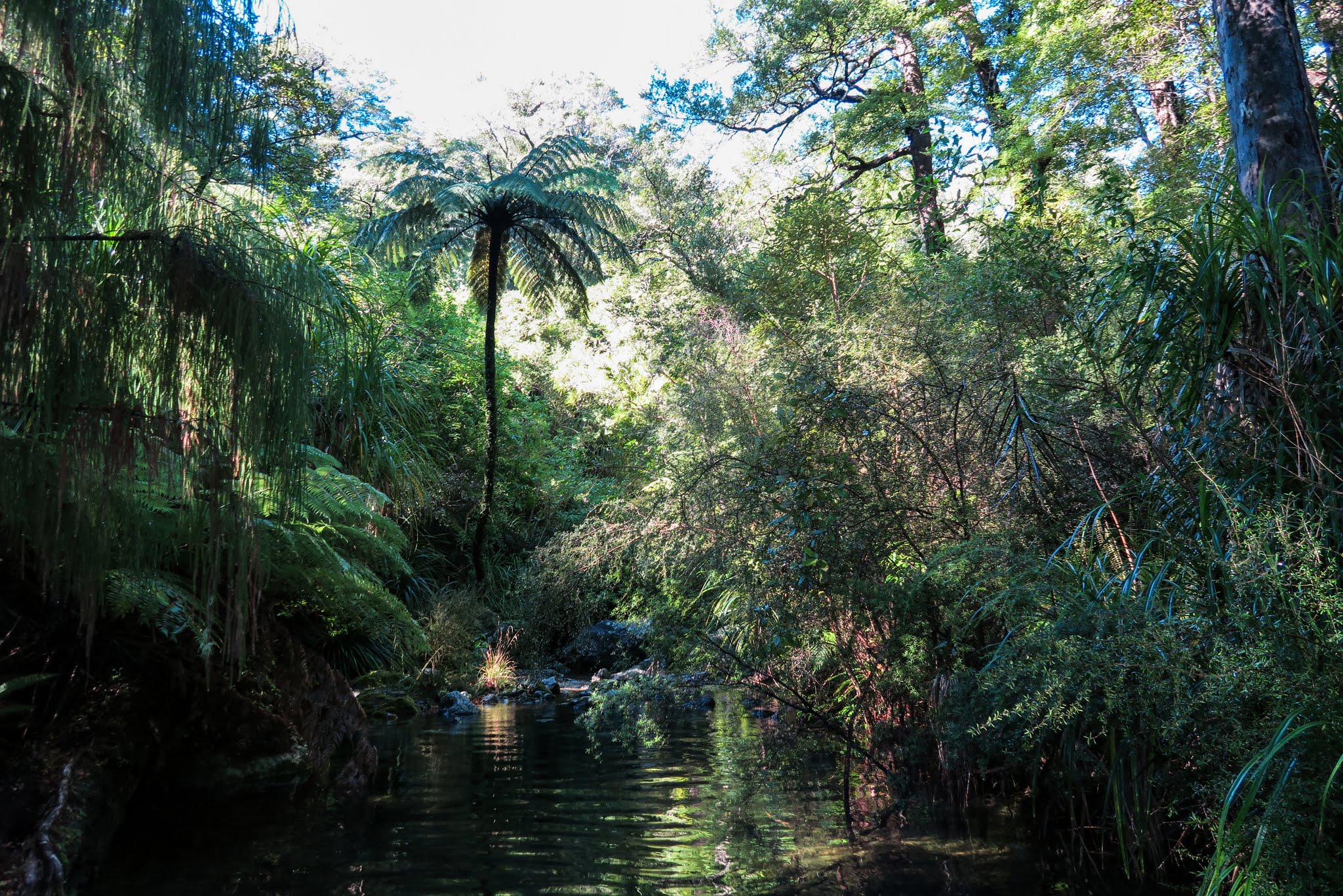
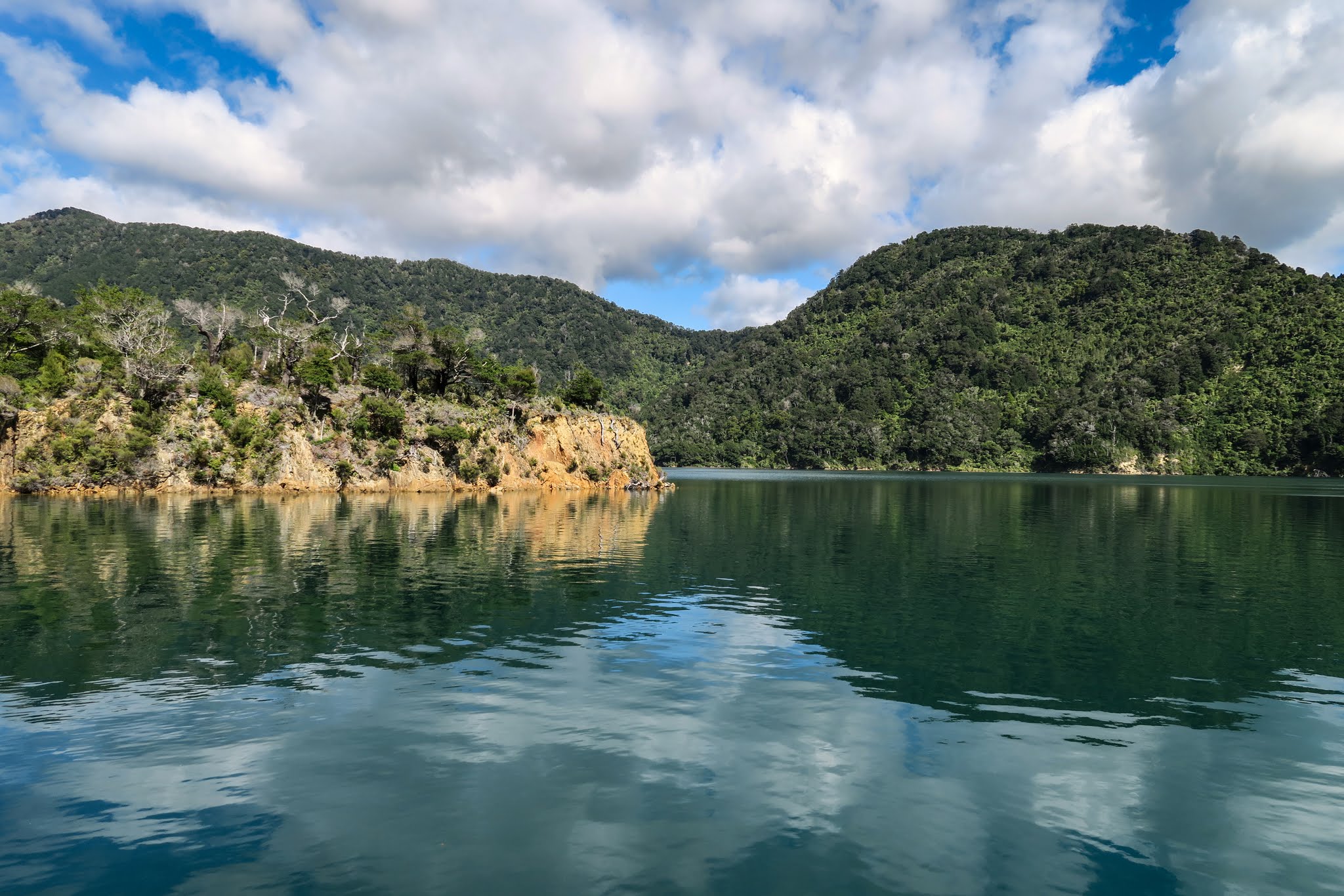
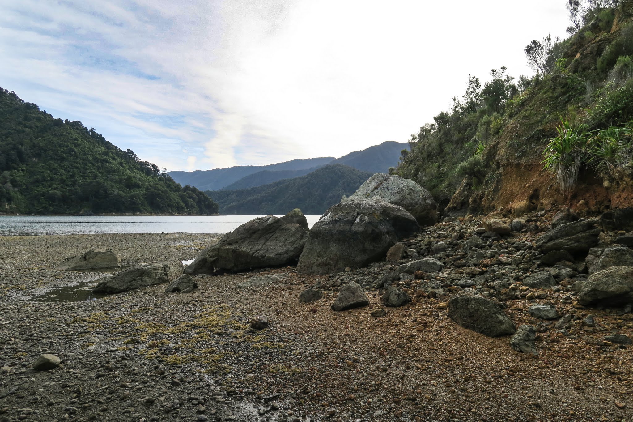
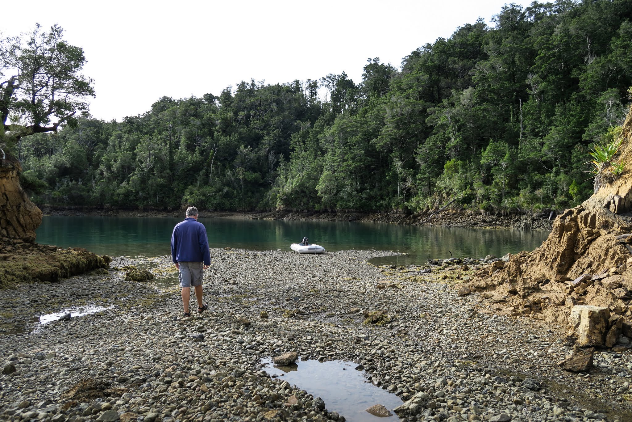
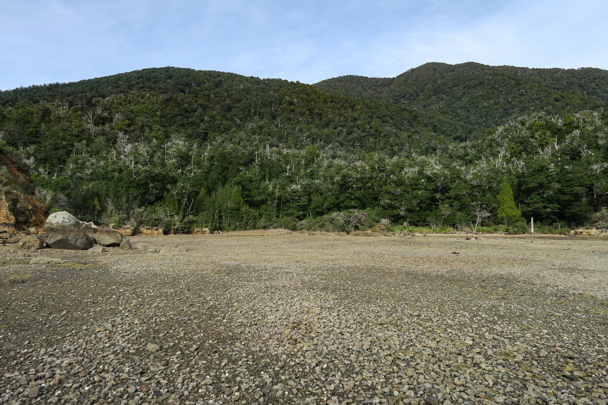
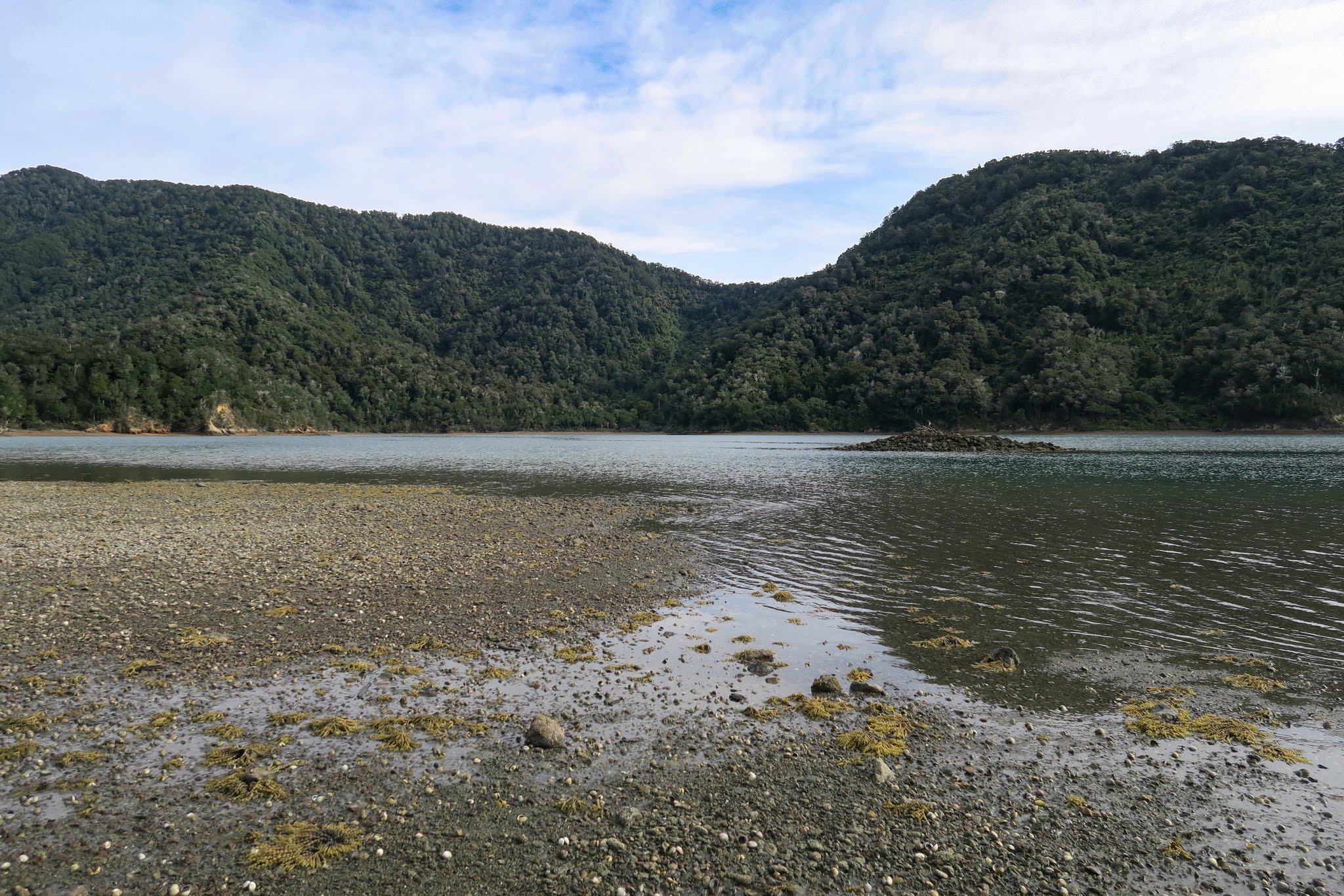
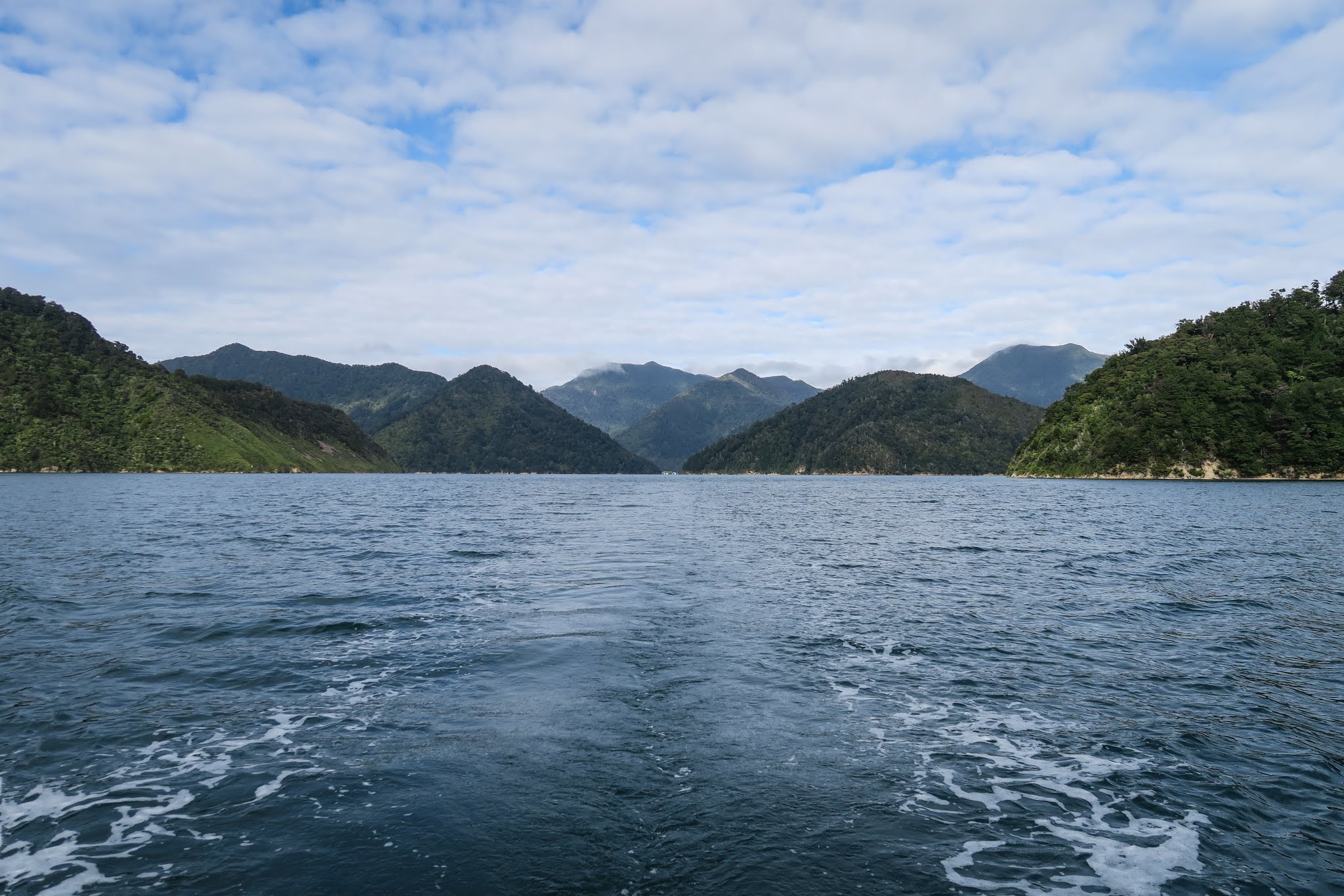
Looking back at the outer headlands surrounding Tawhitinui Island’s bay. (Tennyson Inlet, Pelorus Sound, New Zealand)
Motoring back towards the bay at Tawhitinui Island. (Tennyson Inlet, Pelorus Sound, New Zealand)

Back Through World’s End to Pretty Penzance (Tennyson Inlet, Pelorus Sound, New Zealand)

April 9, 2016

Now that the northerly/southerly wind pattern was finished, we had a few days of windless weather ahead. We decided to use this window to make the 29-mile trip to Portage Bay in the Kenepuru Sound, stopping for a night on the way. But first we’d motor along the west coast of the Tennyson Inlet and check out some of those anchorages there.

world's-end-map

Once we exited Ngawhakawhiti Bay, we headed across the channel to Penzance Bay, a very pretty area with private homes ashore. Motoring along, we had a clear view down to the ends of the long fingers of Te Mako and Tuna Bays. It’s a pretty impressive sight to see those channels of water surrounded by a sea of green mountains.

Getting a glimpse all the way down to the head of Te Mako Bay. (Tennyson Inlet, Pelorus Sound, New Zealand)
Looking down at the head of Tuna Bay. (Tennyson Inlet, Pelorus Sound, New Zealand)

Penzance is a popular area, which became apparent as we got close and saw a large number of private moorings pretty much filling the anchorage. We could eek out a spot if we wanted to, but it probably wouldn’t have the terrific view of Tuna Bay and its surrounding mountains. Still, we thought we’d consider trying to come back here before leaving Pelorus Sound. In spite of Penzance having some issues (it’s big, not well protected and full of moorings), there is something really appealing about it that’s hard to put into words. I’d love to try to stay there, but for now we had other plans and it was time to head on. –Cyndi

Some of the mooring field at Penzance.
An area of private homes onshore at Penzance. A small lodge and restaurant would be perfect here!
The hills around the bay are lush with natural bush.
The pretty view down into Tuna Bay.

A Fruitless Search for the Nydia Track in Ngawhakawhiti Bay (Tennyson Inlet, Pelorus Sound, New Zealand)

April 8, 2016

Today we were on a mission to find access to Pelorus Sound’s most famous walking track: the Nydia Track. It starts at the head of Te Mako Bay (just south of our Ngawhakawhiti Bay) and goes for 27km to finish in Mahau Sound. According to our guidebook, there’s an access path to it here, near the southeast end of the bay. We had only a crude drawing from the book for reference, but I didn’t anticipate having trouble finding it and hadn’t done further research on it’s location.

It seems I was wrong to assume the access path would be easy to find. After combing the shoreline in our dinghy, we saw no sign of a track anywhere in the area. We thought we’d found a possibility at one point. There was a path through dried grass that was currently underwater. Could it be a walking path at low tide? We made our way up it in the dinghy, using our oars when it got too shallow for the outboard engine.

After pulling ourselves through tree branches that hung down to the water, we found ourselves in a beautiful spot with pool and waterfall. When I thought it was shallow enough I jumped out to walk the dinghy further in and ended up in water to my waist. Still, I pulled the dinghy into the pool area, then walked over mossy, slippery rocks to the other side to look for a path while Rich waited for me. No luck. (Below a gallery of photos from our search. Click to enlarge and scroll.)

At this point, we gave up on finding the elusive path to the track. We theorized that there used to be one but it’s since grown over. It was a bit disappointing not to find the path, but in looking for it we’d had the bonus of discovering the hidden pool and waterfall.

After returning to our boat, we thought it might be nice to return to the pretty little anchorage on the east side for the night; so we picked up and moved. After setting the anchor, we sat outside to enjoy some lunch. Indeed this was a nice spot. Unfortunately, all the insects in Ngawhakawhiti Bay seemed to agree and came to join us for lunch (and for the bitey ones, we were on the menu). We sprayed and swatted and stuck with finishing our lunch, but when Rich noticed we’d drug anchor a bit, that was the last straw. Soon, we were headed back to the south side. It turned out to be a good choice–we ended up having a very comfortable night there. –Cyndi

A Blustery Night Before Heading to Ngawhakawhiti Bay’s South Side (Tennyson Inlet, Pelorus Sound, New Zealand)

April 7 & 8, 2016

The evening was calm, but overnight we had an unpleasant lesson in how winds can gust right into a protected anchorage. Actually this concept isn’t new to us: we’ve already experienced how winds can arch right over the top of a tall mountain and go barreling down the far side to blast any boats hunkered down there. In fact the sounds are notorious for this very thing, and we’d been careful about where we’d chosen to anchor. In this case, the mountains didn’t look tall enough to be a problem.

As I mentioned earlier, Keith Murray, in his guidebook, had cited the need to tie a line to shore in strong conditions, but we didn’t consider the expected 20-knot winds to be “strong conditions.” It seems we were wrong. The winds picked up overnight, and every once in awhile we’d get a blast that would knock Legacy sideways.

It was the noises that were the most annoying. First we’d hear the freight train sound of the wind coming, then feel the boat tip sideways followed by the inevitable sound of stuff falling over in various parts of the boat. It wasn’t bad enough that we felt the need to keep anchor watch (or even go see what fell); but it was annoying and frequently woke us up.

In retrospect, maybe we should have played it safe, tied a line to shore, and pulled our boat in to keep it out of the blasting winds. I have trouble wrapping my head around this one, though. We have some long lines, but I’m not sure they’d be long enough to let us anchor at a safe distance from shore. Also, how does one know where the winds are going to blast? I’d hate to tie to shore then get blasted on the side, unable then to swing into the wind. I’m sure there are safe pockets; but we have no way of knowing exactly where they are, which tree we should tie to.

In any case, we’d survived the night and woke to a calm morning with patchy fog drifting over the mountains.

early-am-ng
Early morning patchy fog over the mountains. (Ngawhakawhiti Bay, Perlous Sound, New Zealand)

Tonight’s winds would be southerly, but less strong and we didn’t anticipate any problem at the south end of Ngawhakawhiti Bay. As soon as the clouds cleared, we moved to the south side. –Cyndi

Motoring past the entry channel en route to the south end of Ngawhakawhiti Bay. (Tennyson Inlet, Pelorus Sound, New Zealand)
 Legacy's new spot in the south anchorage at Ngawhakawhiti Bay (Tennyson Inlet, Pelorus Sound, New Zealand)

Legacy’s new spot in the south anchorage at Ngawhakawhiti Bay (Tennyson Inlet, Pelorus Sound, New Zealand)

Ngawhakawhiti Bay’s East Side (Tennyson Inlet, Pelorus Sound, New Zealand)

April 7, 2016

Before ending up in the north bay, we checked out a couple of bays on the east side of Ngawhakawhiti.

The southernmost (of those east bays) was enchanting, small, and cozy. The vegetation was thick and bushy, the water a pretty blue-green. Most intriguing was a little entryway into another bay. Could we get in there? We motored right up to it, and it looked enticing with its pretty trees and patches of long dried grass. The bottom came up quickly, though, too shallow for our boat, but we could take the dinghy through there.  (Click to enlarge/scroll through any of the galleries below.)

A few hours later, we took an afternoon ride in the dinghy and headed back towards this bay. The afternoon light had softened under a blanket of filmy clouds, the kind that makes the sun look misty and the water shimmer with any movement. It was now low tide, and the amount of rocky shoreline had grown considerably.

We arrived at the bay intending to motor into that other cove but found its entryway and the area behind it had completely dried out in the low tide. So instead, we beached the dinghy on what was now a rocky isthmus and walked in. This entire cove was now a dry bed of stony bottom littered with shells. Near the shore (or what would be the shore at high tide) were the areas of the dried grasses we’d admired.

We walked around, looking at the shells and finding an occasional starfish waiting out the low tide in shallow pools. Our best discovery was finding a tiny, pinky-nail-sized blue starfish hiding in a clam shell.

Being here in this strange place, in this otherworldly late-afternoon light, surrounded by mountains, and being the only people in this whole big bay once again felt like being at the world’s end. It was so remote and surreal. In the distance, Legacy was in a heavily shadowed area but seemed to glow in the low light. She looked like a ghostly apparition, and Rich and I mused that maybe we died and Legacy had come with us.

After walking around some, we motored back by the shoreline. Big trees sometimes towered over us, and we’d get occasional fish “dancing waters,” creating silvery ripples where they’d splashed. The shoreline was pretty, although not as pretty as it was at high tide when the water nearly reached the vegetation. Low tide’s orangey-brown dirt shoreline made this place seem less lush and more remote.

Earlier in the day, we’d also motored through the northeast bay to take a look at it. It was very pretty, but not as cozy and appealing as the neighboring little bay. (Below, a small photo gallery of that bay).

Tonight, we planned to remain in the north bay, then move to the south one the following day. –Cyndi