
May 21, 2017
We have many fond memories from Lord Howe Island (photos of which we’ve mostly posted including lots of photos from our hikes). But there are a few more memories I’d like to add, the smaller things that marked our time here. (I don’t generally do current posts, but Lord Howe has inspired me. You can click to enlarge and stroll through any of the photo galleries below.)
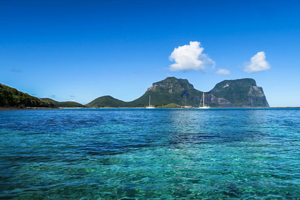
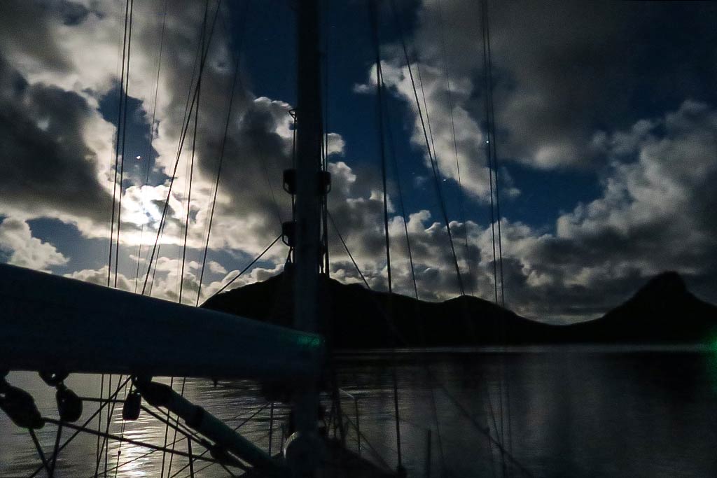
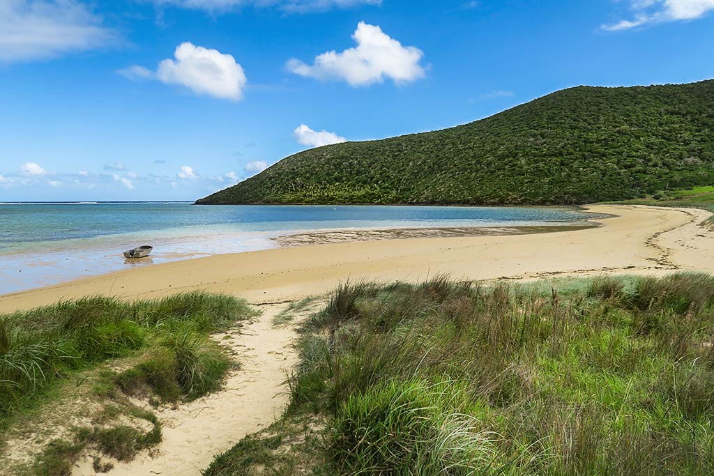
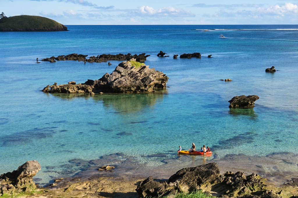
First, our “home” here: our mooring in the north pass. At any given time there was us and two other boats up there, just inside the pass and behind the reef. There’s also a small group of moorings about a mile away inside the south pass, but since we were never in that area we can’t compare them.
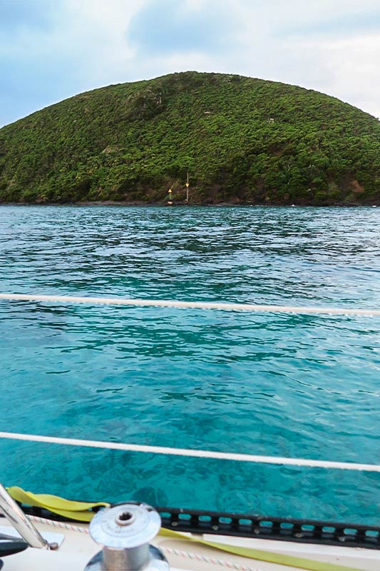
We can say, however, that we were very pleased with our spot! The pretty blue water was so clear that we could easily see the bottom. It could get rolly at high tide (when more ocean came over the reef), but it was pretty flat at low tide. Aside from a few days when we had westerly swells or winds, the movement was never very noticeable inside the boat. Below, a few photos from our boat, and one of our mooring area from a distance.
The dinghy was another story–it tended to be bumpy getting into it because we generally traveled to shore during high tide. The good thing about high tide: we didn’t have to worry about coral heads below us as we motored in. The bad thing about high tide: we sometimes got a bit wet. I came to prefer dinghy rides taken at low tide, in spite of having to do some weaving around coral heads.
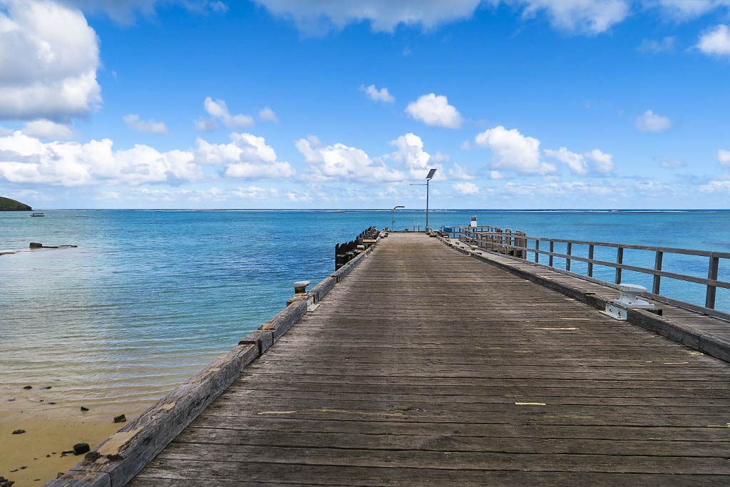
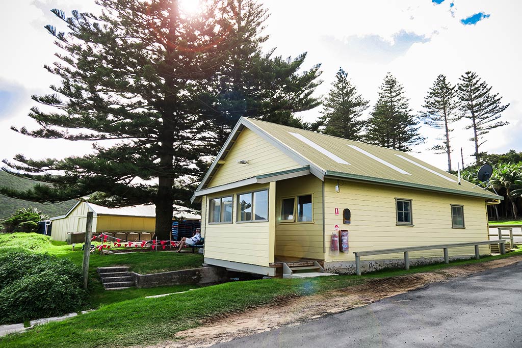
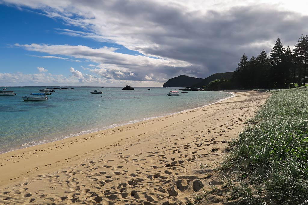
The trip to shore would take about 10 minutes (more or less). We’d pull up to the boat ramp, put down the wheels, then pull the dinghy up the ramp to a grassy area. From there, we’d head first to the building just behind the pier that housed the showers, bathrooms, and even a very good quality washing machine for the boaters to use. Below, a few photos of the landing area and the pier. The yellow building contained the showers (nice ones with hot water) and restrooms.
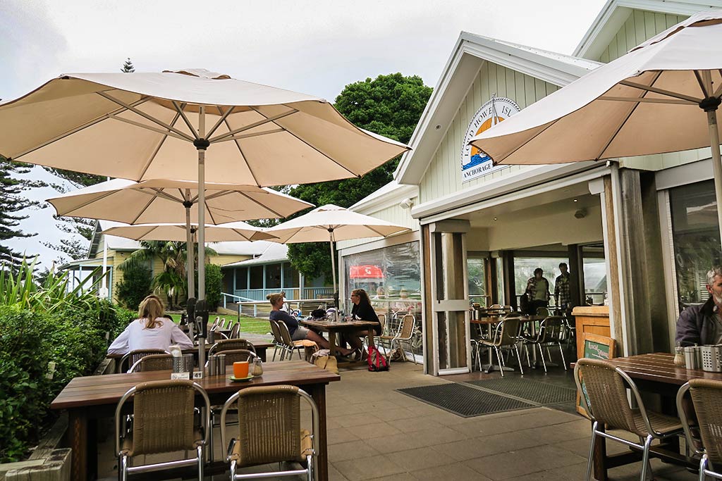
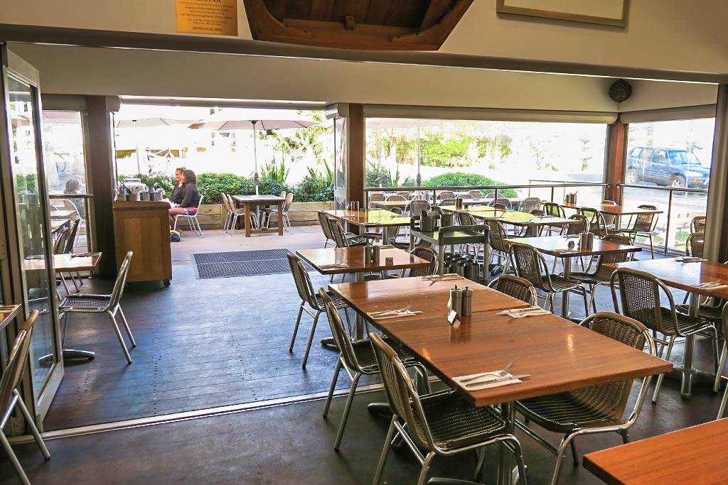
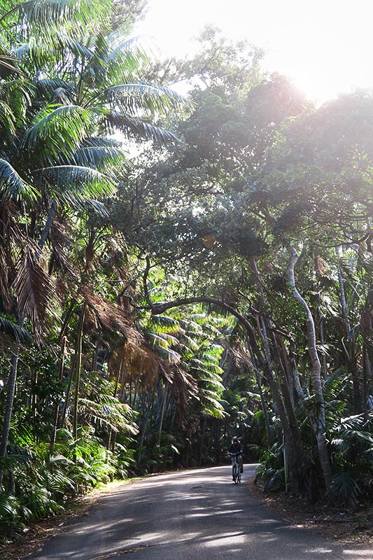
After rinsing salt and sand from our feet in the shower, we’d head down the road on foot (or by bicycle during the few days we rented them). It wasn’t far to “downtown,” just beyond a left turn onto an inland road. “Downtown” consisted of a couple of small boutique shops, a general store/market, a small co-op market, a post office, and our base of operations: the Anchorage restaurant.
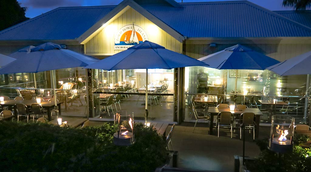
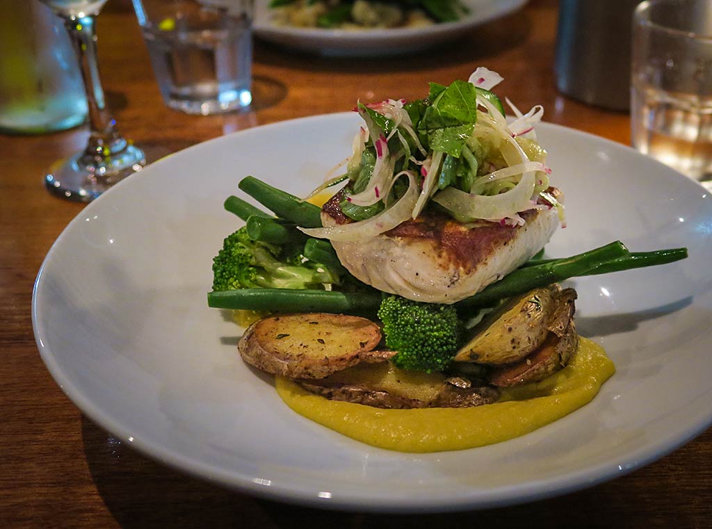
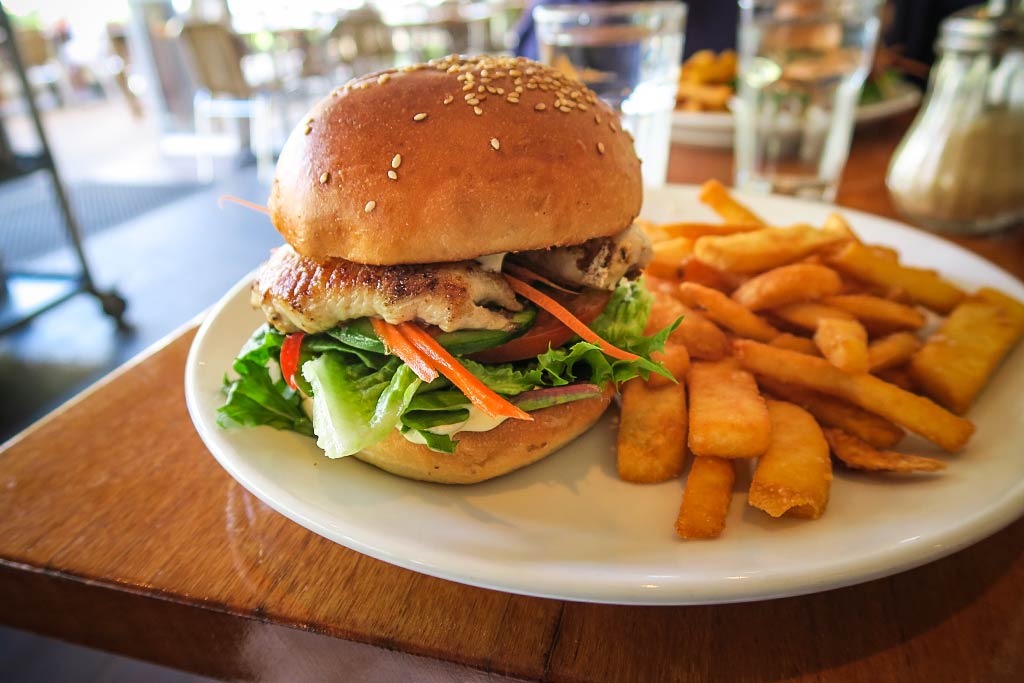
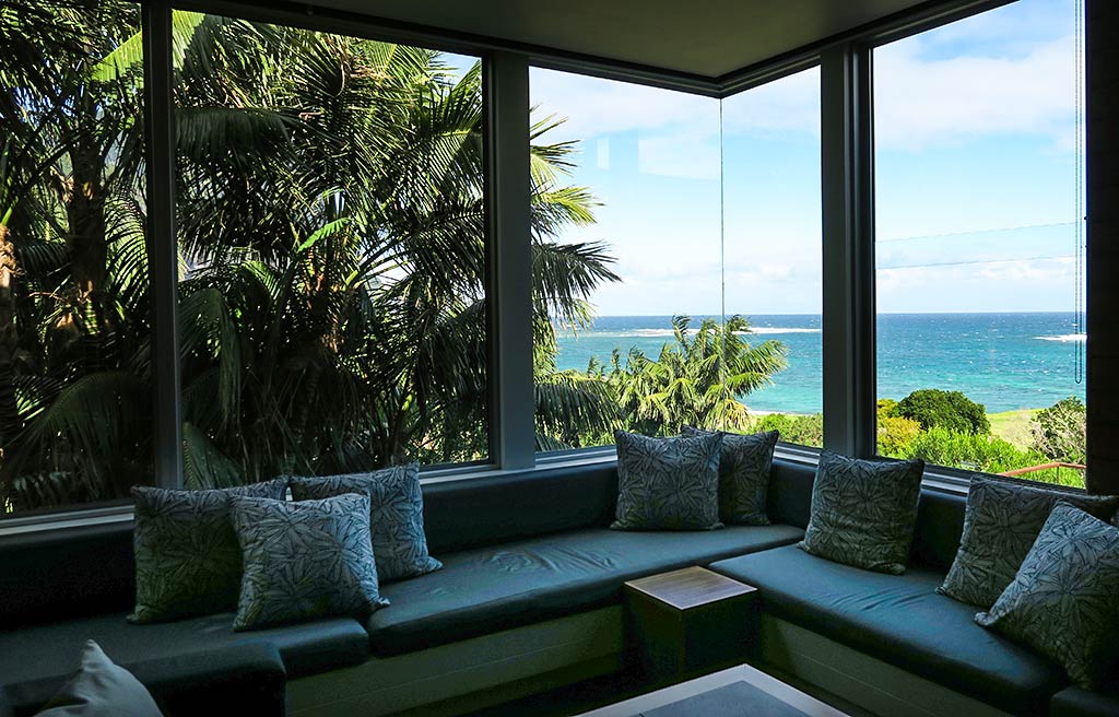
Although we had internet access on our boat via our external antenna, we had better reception sitting at the restaurant. Thus, our first stop, whether for coffee, breakfast or lunch, was always the Anchorage. We ended up spending a lot of time in this place, including an unplanned (and very memorable) dinner when one of our hikes took a lot longer than planned. The food was terrific, but standouts included the fish burger and, discovered at the last minute, their loaves of sourdough bread. (Which I’m now kicking myself for not buying more before we left). In fact they have a lot of baked goods, and they’re top quality. Below, a few photos from this wonderful place.
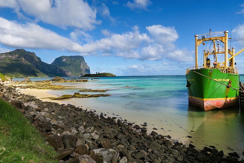
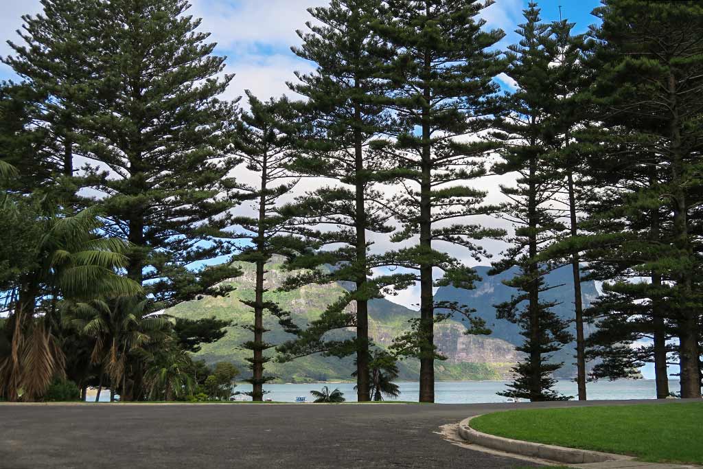
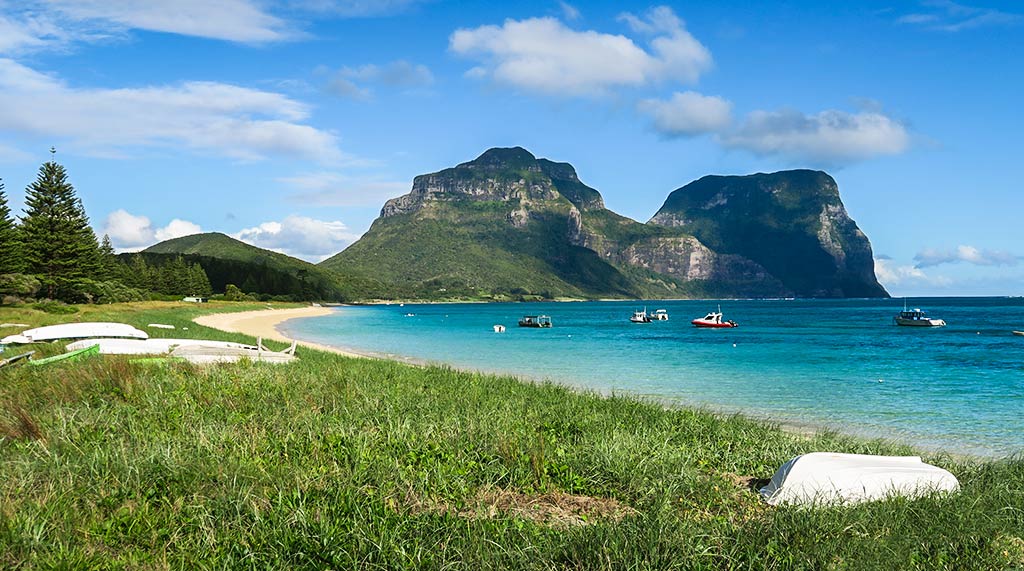
After checking on the weather, we’d often continue on down the road. No matter how many times we’d been “downtown:” it was always a bit of a shock and surprise to spot the huge mountains through the pines as we neared the shoreline road after spending time at the restaurant. You can look at magnificence awhile, get used to it, but look away for half an hour and it regains its impact. Below, a few photos from our central area.
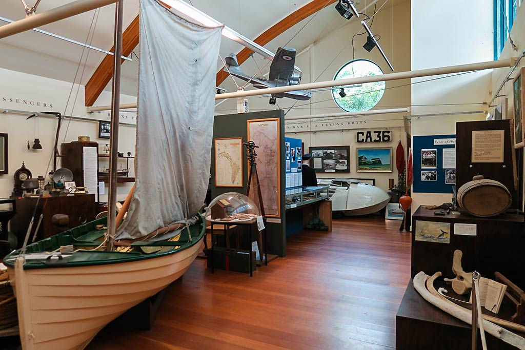
Next up we often headed to our other “headquarters:” the museum and Coral Cafe. We’d befriended a very nice man there, Chris, who made sure we had all the brochures we needed for hikes and restaurant hours and gave is a lot of info about the island. This is the person we gravitated to when we had questions about things. Just up the road from the museum was the Joy’s Market, small but with a surprisingly good selection of inventory.
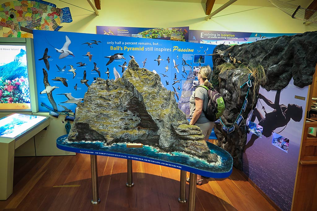
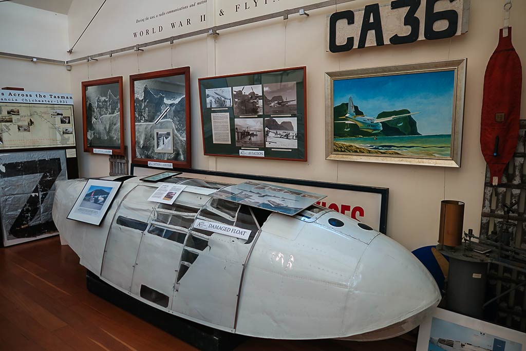
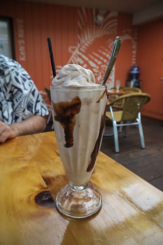
As for the museum, it’s small but so well done and so interesting. One room is devoted to natural history and the other focuses on human history. Rich doesn’t usually like museums, but I had to drag him away from this one. Aside from Chris and the museum, we much enjoyed the Coral Cafe, especially their thickshakes, the American version of a milkshake complete with a spoon for the ice cream. It’s hard to find milkshakes like these in the South Pacific, but here was a great version at a small cafe on Lord Howe Island. They had some pretty good food, too.

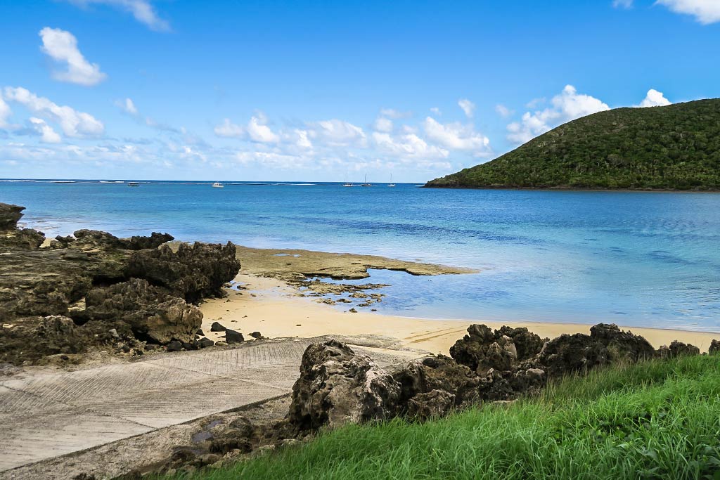
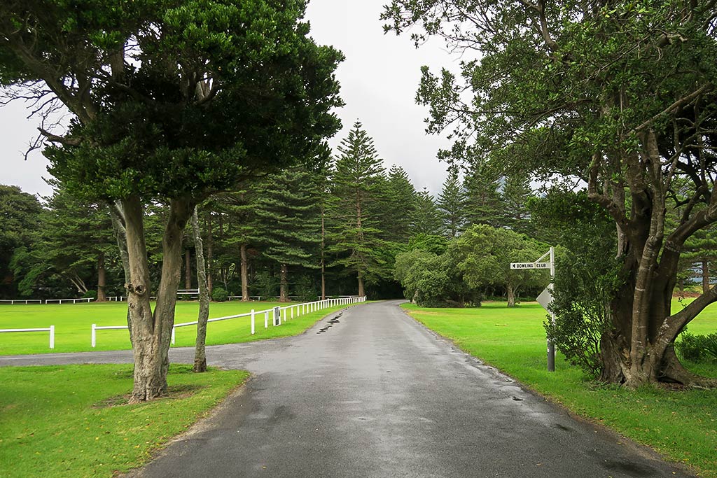
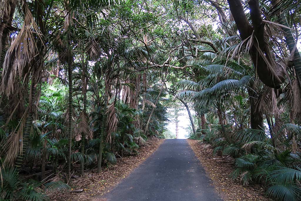
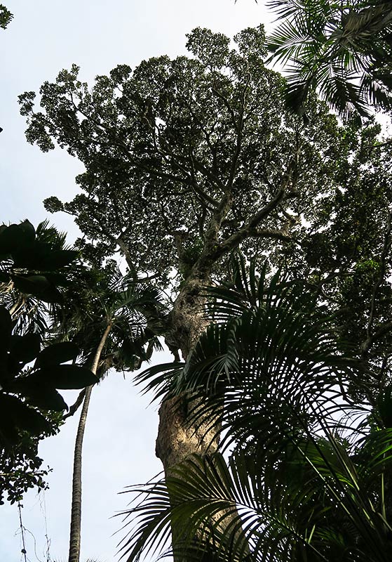
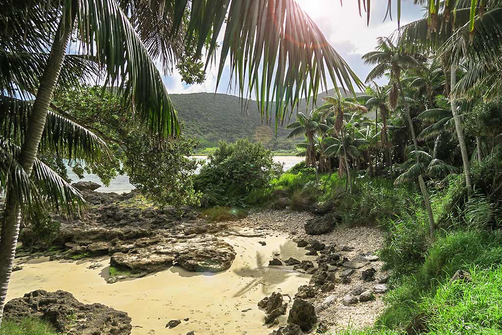
Always, whether by bicycle or on foot, the roads were such a pleasure to travel. Sometimes they were lined with tropical vegetation, sometimes banyan trees or huge pines, and sometimes there was a lawn and a viewing area. We’d always see birds, either flightless ones like wood hens, pukekos, and banded rails dashing across the road, or colorful birds and seabirds in the trees. We’d also see an occasional car and people on bicycles, all of them giving a wave as they went by. Below, photos showing some roads, very different but all beautiful.
Earlier I mentioned the hikes we did, one of which was particularly long and grueling: Goat House Cave (link here). It involved a somewhat long bike ride to the south area of Lord Howe Island, then a hike up to a ridge. From there, it was a long trek along the ridge to where the real climbing started, a combination of a steep, stair-stepping track and even steeper areas with ropes we used to pull ourselves up. It was pretty grueling and, at times, actually scary as the track narrowed along the side of the mountain. The reward was getting to see a beautiful forest and the impressive sight of hundreds of flying seabirds that live high up the mountain. Then there was the “cave,” an undercut and ledge with a bird’s eye views of the island, the mountain, and the ocean. Unfortunately it was nearly as hard getting down the mountain as it was going up.
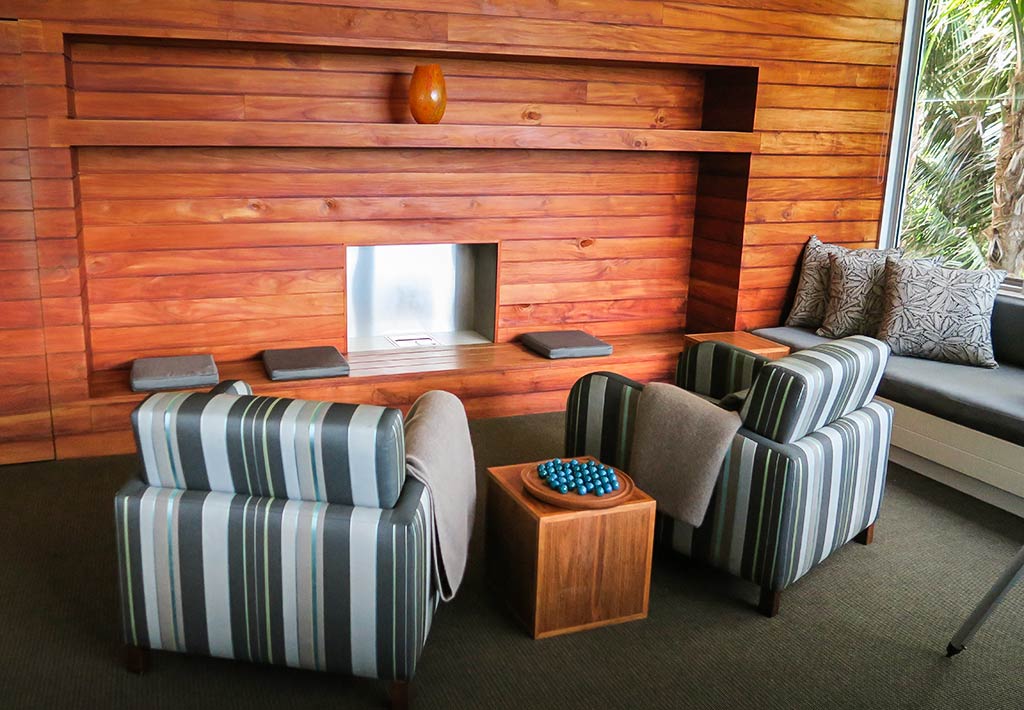
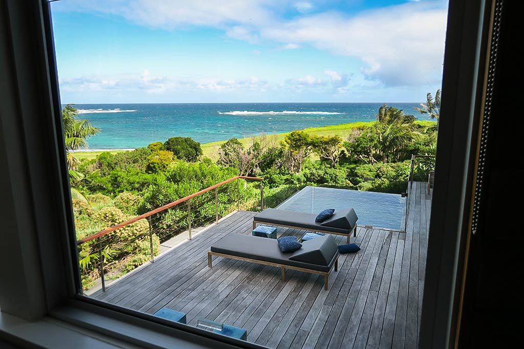
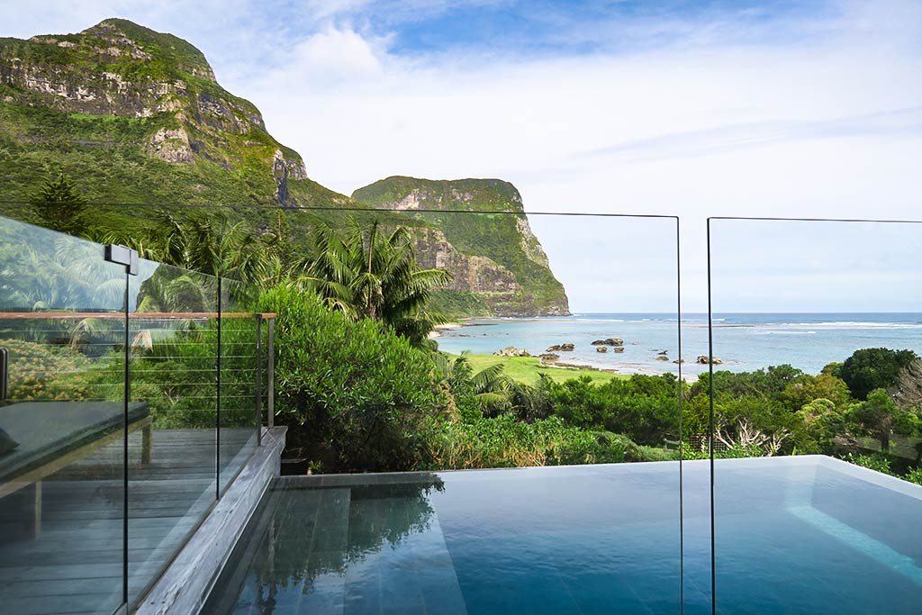
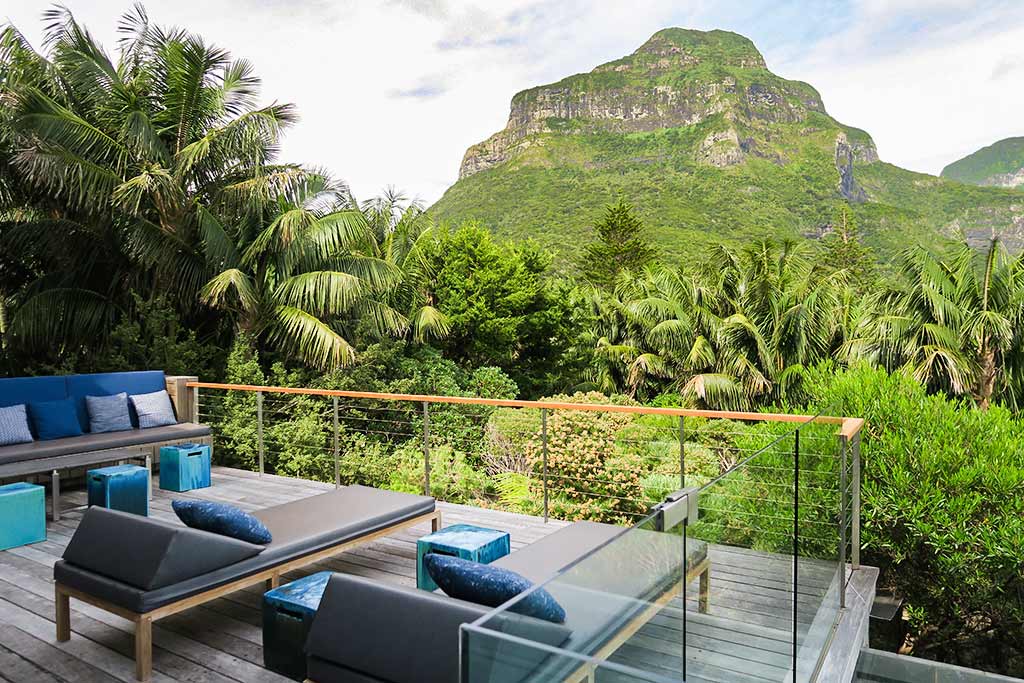
We hadn’t planned to do this particular hike this day, but when the sun unexpectedly came out we decided to go for it. I wasn’t prepared, though, and only as we neared the trail did I realize we didn’t have any water, and it would be a long bike ride back to the nearest market to get some. But we noticed the sign for a place called Capella, a lodge and day spa–surely they’d give or sell us some water? We went in and were immediately blown away by this gorgeous place with glass walls and a deck that looked out over the mountains and sea.
Generally places here don’t have views, but this one was an exception. They were happy to give us some water, filling our glasses from water pitchers loaded with fruit and ice. The place was so gorgeous, and the people so nice, that we decided to look at what they had to offer. This was how we came to book massages the following morning, figuring they’d be therapeutic after today’s hike. Were they ever! The masseuse here is excellent! What a treat this was!
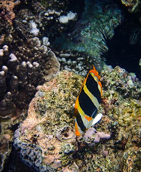
Generally where there’s snorkeling, Rich and I spend time in the water. In this case, due to cooler water temperatures than we’re used to and bouts of various weather conditions, it took us awhile to finally get in. We were glad we did, getting treated to seeing some tropical fish that only exist around Lord Howe Island, plus others that we know well and were delighted to find here. The coral was pretty, but it was the profusion of fish that was the standout feature here. Below, a photo of a Three Striped Butterfly fish.
Finally, I’ll mention the main theme of our time here: weather! First off, our passage to Lord Howe had been rougher than forecast. It wasn’t a big surprise kind of a thing–it was just stronger winds at a more unfavorable angle. The forecast conditions for the passage weren’t ideal, but they were acceptable. The actual conditions would have nudged the meter into the unacceptable zone had we known the realities beforehand. (Truthfully, it was just as well we didn’t know the realities; otherwise we might still be in mainland Australia!)
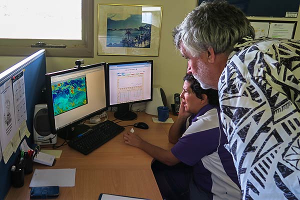
We wanted to know what happened, though, and someone suggested we go see Amy at the local Bureau of Meteorology office. We made an appointment and saw her the following Monday. She was so nice and took the time to look over her computer data (some not available to the public) to solve the mystery. It seems the mild trough we went through had turned into a front. (It’s kind of like in the movie Gremlins when the nice Furby gets wet and turns into a bad Furby. We started with a nice Furby but somehow it got wet.)
Amy also helped us suss out another situation. We knew about the potential cyclone in New Caledonia when we left Oz, and sure enough it was developing into Cyclone Donna when we arrived at Lord Howe. Then came Cyclone Ella in Fiji! One tropical cyclone in May is rare enough, but two is ridiculous! On top of all this, we had a low coming down at us from Queensland. In all, it looked like we’d need to stay put for awhile.
Luckily we were able to remain here as we’d reserved our mooring for 10 days, but unfortunately it put us in the position of experiencing something we’d heard about but never wanted to see: a westerly at Lord Howe Island (courtesy of that low from Queensland). While the lagoon is mostly protected by a coral reef, it’s open to the west, and things can get really hairy in there when strong west winds come through. Lord Howe has huge heavy moorings for this reason, but it can be a rough ride for anyone caught there.
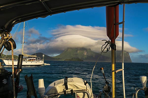
As the low neared, each boat was contacted by the port operations manager and given the option of heading out to sea to ride with the storm, or staying put here. The decision would need to be made beforehand because there’s no getting out once the westerly arrives. All the boats opted to stay put, come what may. And this is how we came to experience a dreaded westerly at Lord Howe Island. Below, an interesting cloud that formed over the mountains as the westerly arrived. “Interesting” clouds always spell trouble.
How bad was it? Actually not that bad, but we were a lucky in that many of the strongest winds happened when the ocean swell was still northeasterly. When the winds backed directly from the west, the tide was low so we had maximum protection from the reef. In all it was a bumpy ride, the kind for which you stash anything that might fall over, but we’ve been in worse. In fact we both think it was rollier when a big west swell (but not winds) happened during one day earlier in the week. Anyway, we can now say we’ve survived a westerly at Lord Howe Island. Our biggest tragedy was missing the fabulous-sounding fish buffet dinner at Pinetrees Resort. We were on the wait list and may well have gotten in because arriving flights had been canceled, but it was just too rough to put the dinghy in the water.
Our next weather concern, after the cyclones and the westerly low had passed, was finding a good weather window to get to New Caledonia. The strange weather this year seemed to bring more easterlies to the Tasman Sea, not good for going that direction. This situation was getting more nervous-making as our end date for the mooring approached, but luckily we were able to extend it by a few days. Meanwhile, we’d learned about two beautiful reefs about 100 miles to the north, protective reefs where a boat could stay awhile and ride out weather systems. We’d gathered some local information and thinking we might want to go, went to the Parks Service office to get a permit to visit, thus meeting the lovely ladies there.
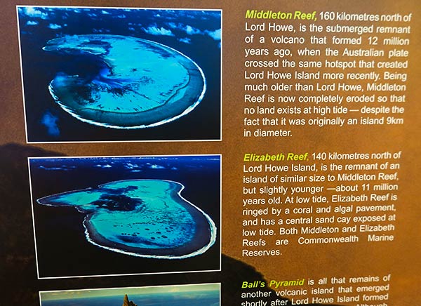
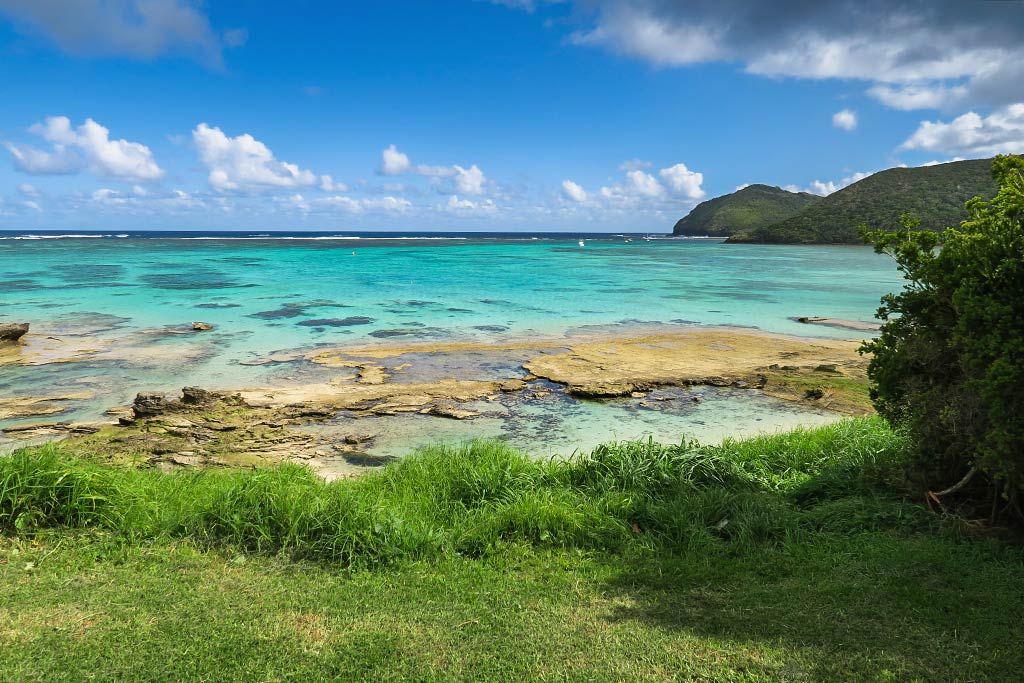
What is it about marine biology and beautiful, intelligent women? They tend to go together, and here was no exception. It usually takes some time to get permits to go to Elizabeth and Middleton Reefs, but they made it happen quickly. We’d originally requested the permits as an “if we get a chance” thing, but it turned out that our best weather option would be to head to one of these reefs for a few days, then take a coming weather window to New Cal. This would serve to get us off our mooring in time for the next reservation holder, give us a nice overnight passage north and hopefully give us a nice place to stay for a spell. Plus after seeing the photos, we very much wanted to go to one or both reefs anyway. Above, a photo of the reefs.
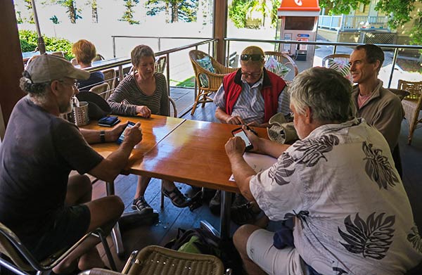
When there’s any sort boating migration going on, the yachties are inevitably drawn to the local watering hole with the best wifi. You can always tell when it’s about that time when the tables are filled with people anxiously looking at their personal electronic devices, usually in the morning. Even in these days when people often have wifi on their boat, they are still drawn to shore. There seems to be a human tendency to group up when something big is looming, and making a passage across an ocean is definitely “big.” It’s comforting to be around others who are also heading out onto the ocean with all it’s hazards and unknowns, and generally we like to share information and opinions with like-minded people, or debate and argue with non-like minded people (at some point I’m going to devote a blog post to some of the craziness that ensues during this phase).
In spite of the fact there were only three boats here as a weather window approached, we all ended up sitting together at the Anchorage to discuss forecasts, plans, and options. One boat was headed straight to New Caledonia, one boat hadn’t quite decided which way he was headed, and we on Legacy were debating whether to take this next so-so window to New Cal or head to Middleton Reef in hopes of getting something better. I love taking photos of these meetings because while the setting and the people change, the postures are always the same.
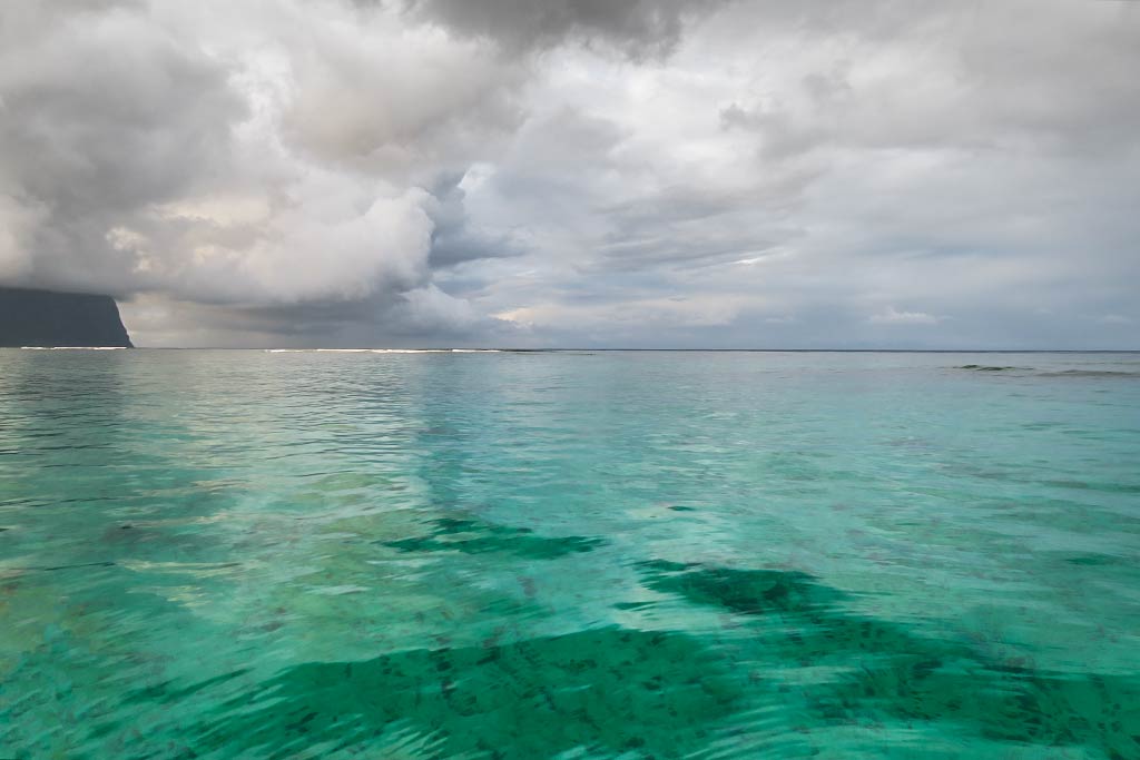
We ended up going to Middleton Reef and loving it, but that will be a subject for another post. I’ll end this post with three miscellaneous photos I like that didn’t really fit in anywhere. –Cyndi
More on Lord Howe Island…
Beautiful Island (Lord Howe Island, Australia)


