April 18, 2016
The northerlies had passed, and now was our time to leave the sounds and make our way 30 miles across Tasman Bay, a wide body of water that lies between the outer edge of the Marlborough Sounds and Able Tasman National Park. At Tasman Bay’s southernmost point is the city of Nelson. (Below, an interactive map of the area. You can zoom in to see our route line to Elmslie Bay.)
But first we’d have to get there. A 12-mile trip from Pelorus Sound’s entry to Tasman Bay sounds simple enough, but there’s a big issue, and it’s called the French Pass. It’s formed by the presence of a very large island (D’Urville Island) sitting just above the final peninsula before Tasman Bay, creating a channel about a third of a mile wide. Here is where two large bodies of water meet with all the ensuing drama: fast-ripping currents, strong eddies, standing waves, and whirlpools, one big enough to have a name and to have claimed several lives: Jacobs Pool. The French Pass is pretty notorious in these parts, and people frequently asked us if we’d been through it. It’s kind of a badge of honor to have done it, I guess.
While some boaters are so wary of the French Pass they’ll travel miles out of the way to avoid it, it isn’t actaully so bad if you take the proper precautions. It’s much like an atoll where you need to wait for slack tide to pass through. What’s important to understand here is that slack water in the French Pass does not correspond with high and low tide, and thus you need to consult the proper current table. Boats who miss on this timing do so at their peril.
(The New Zealand government publishes a table of currents in the French Pass. You can find them here. We caution you that we did not find them all that accurate and we have heard the same complaint from others.)
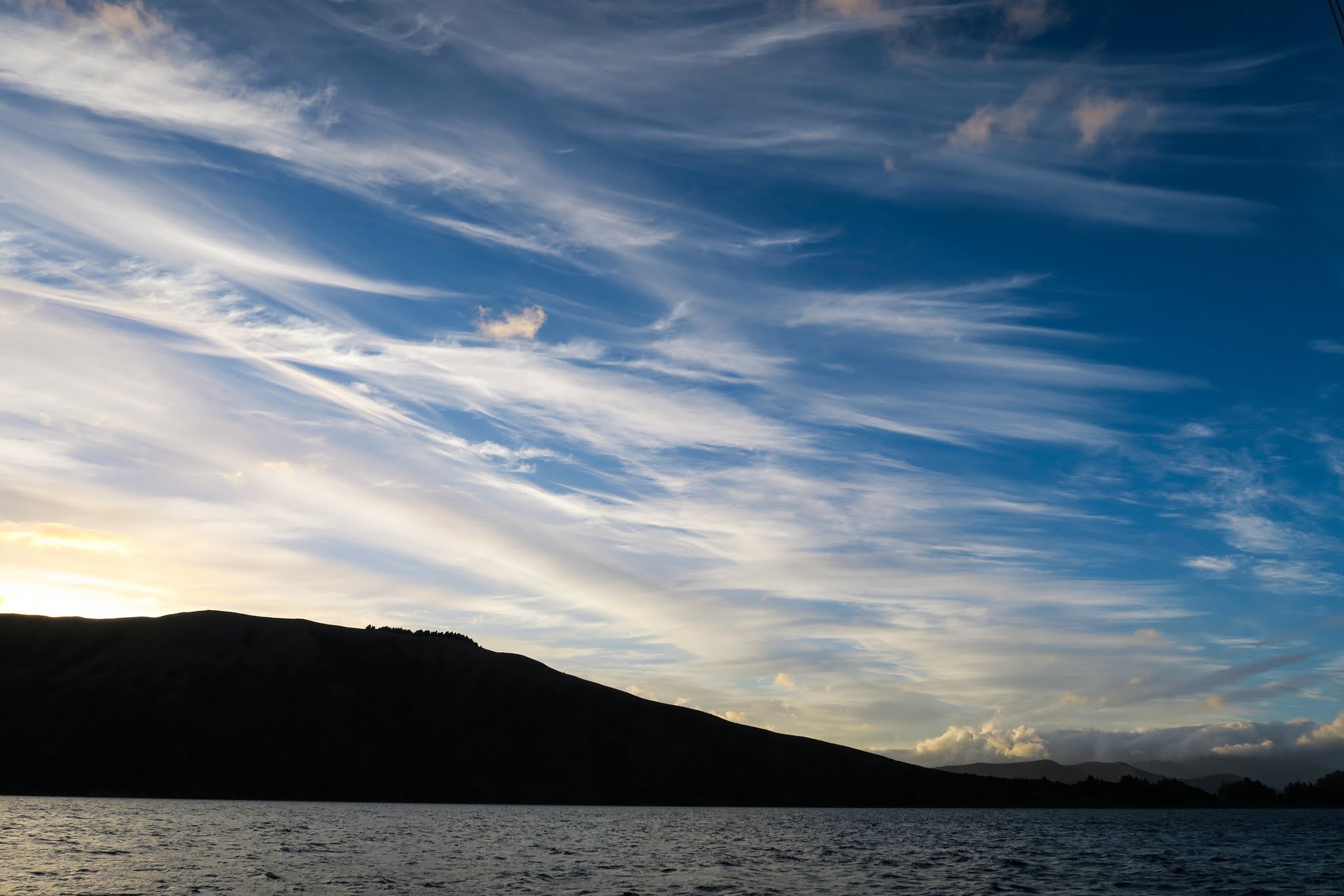
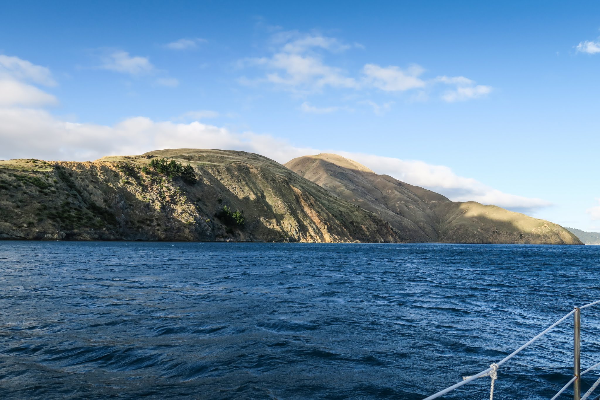
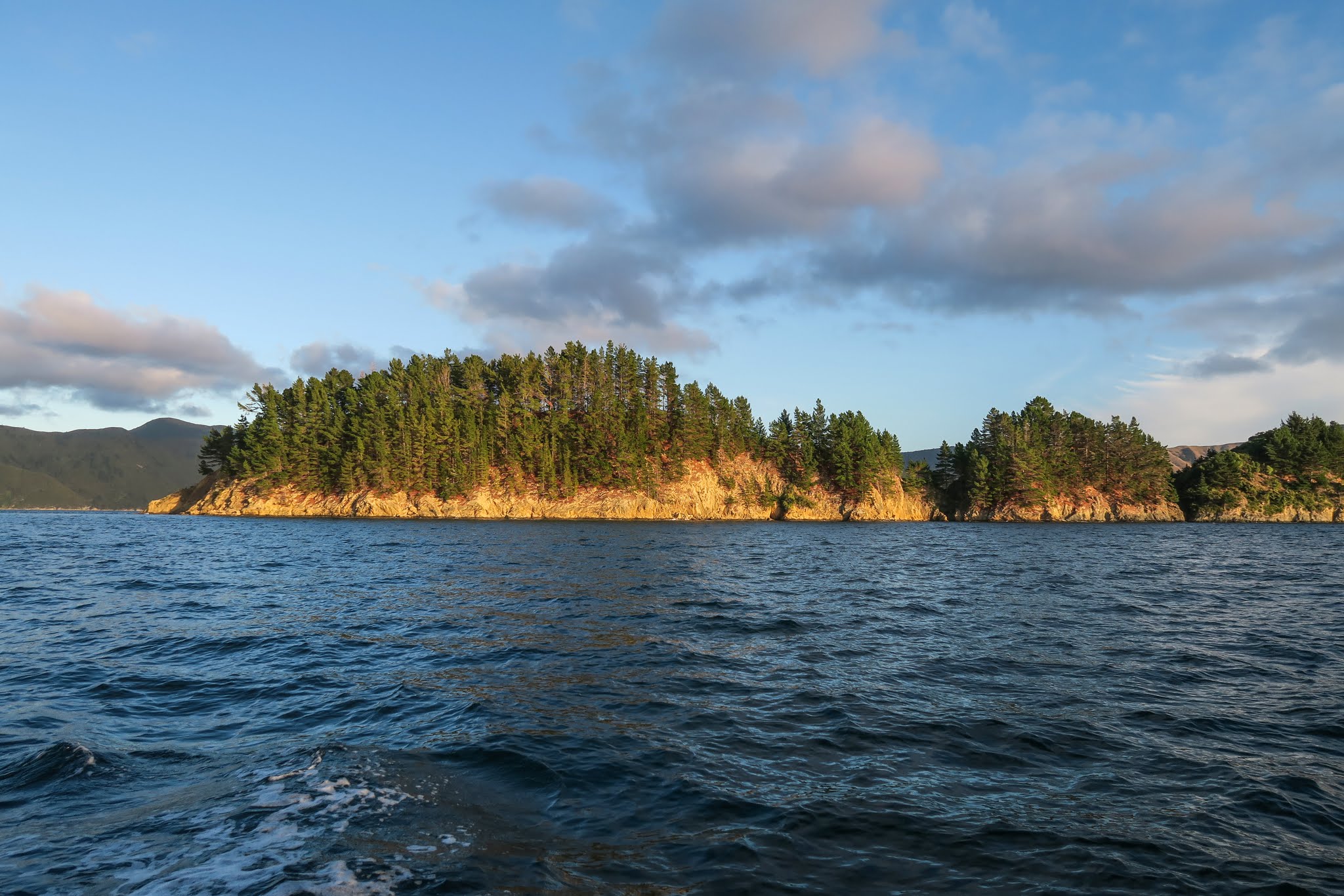
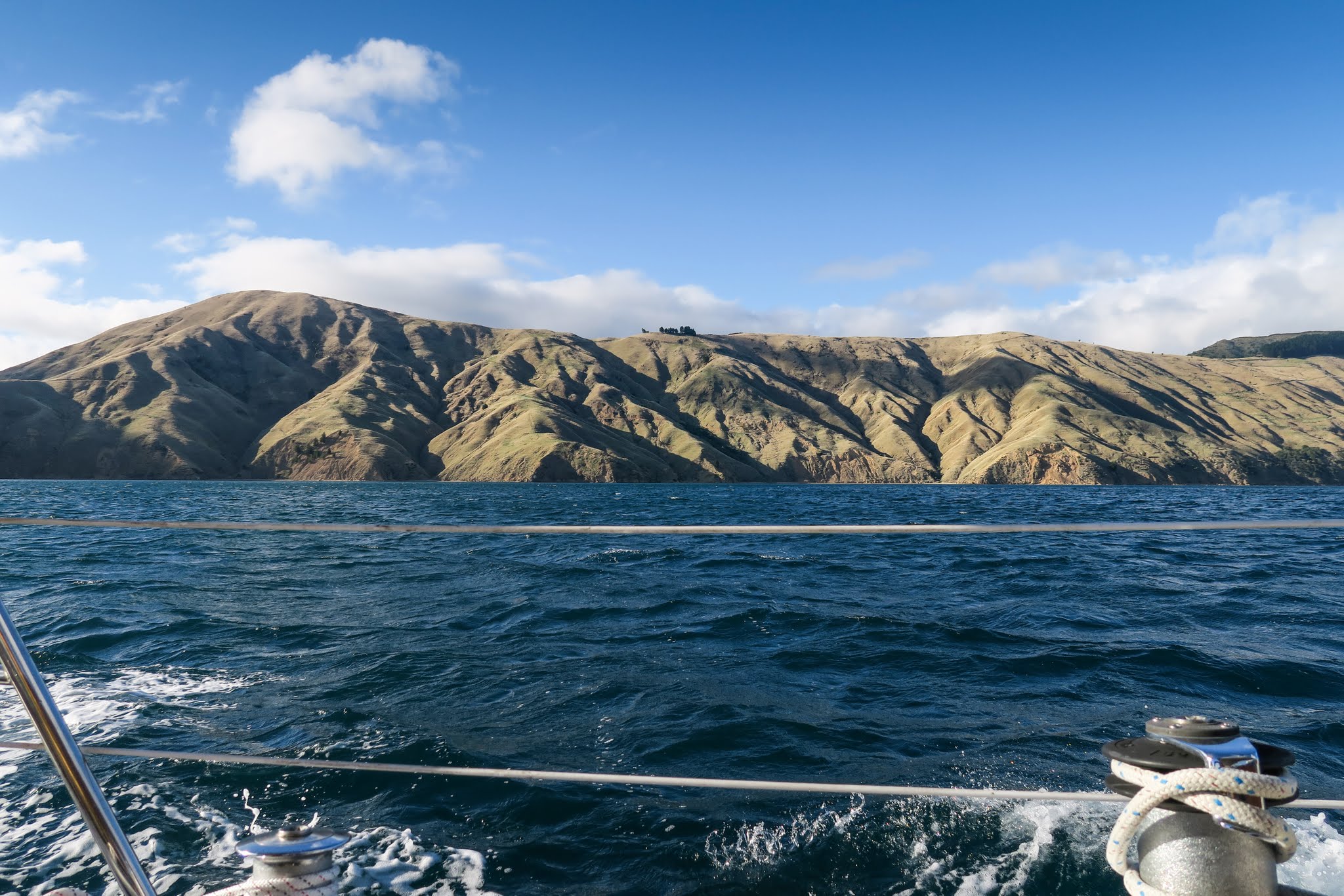
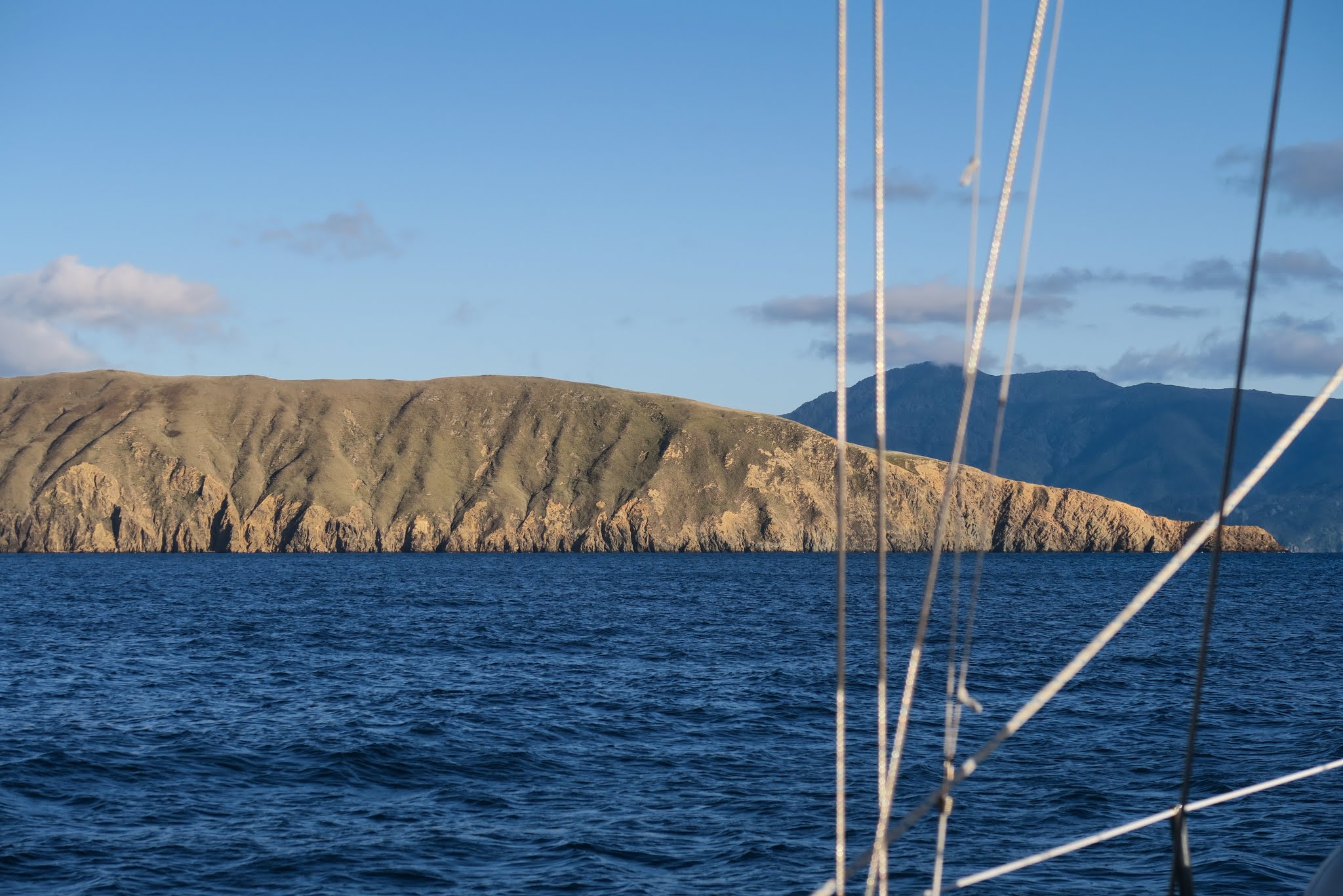
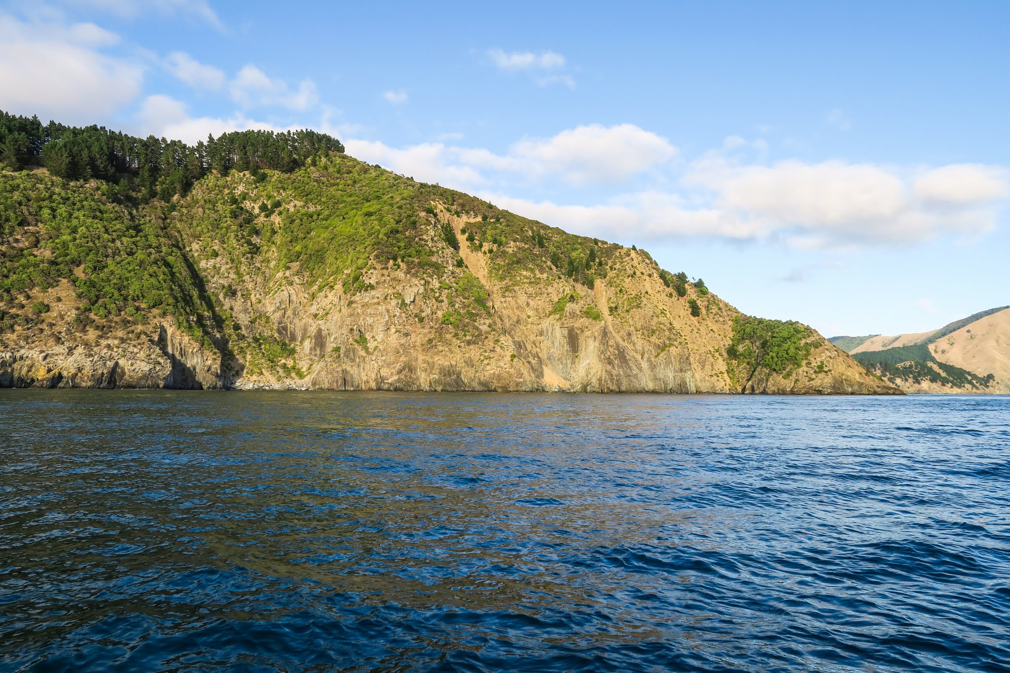
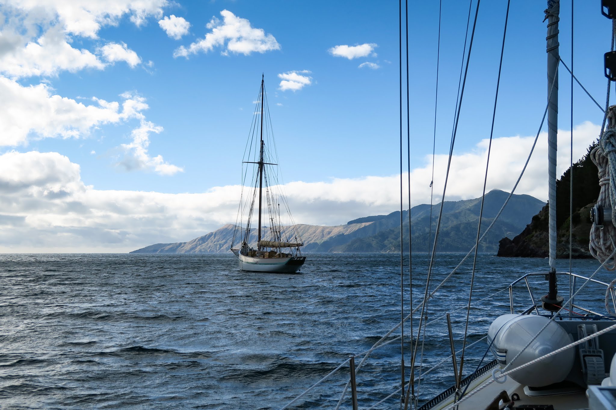
When we pulled anchor early in the morning, the sky was filled with mare’s tails (cloud formations that look like horses tails) which, when combined with mackerel skies, foretell wind coming. We didn’t see any mackerel skies, but maybe the horse tails were trying to tell us something (maybe they were raised, foretelling horse doo-doo?). The winds were calm when we motored down Port Ligar, then rounded the west headland marking the entry to (and exit from) the Pelorus Sound. Our trip along the outer mountains and cliffs was uneventful, but when we turned southwest to head towards the pass, the seas got very mixed and the wind started to pick up. (Below a gallery of photos from our ride to the French Pass. Click to enlarge/scroll through either of galleries below.)
Soon, we were getting winds 20 to 25 knots with boisterous seas. Not life threatening, but not pleasant. Meanwhile, the current seemed changeable, alternating being with us and against us. We ended up arriving near the pass about 30 minutes too early, and rather than motoring around in 25-knot winds, we took some refuge in Elmslie Bay, right next to the pass.
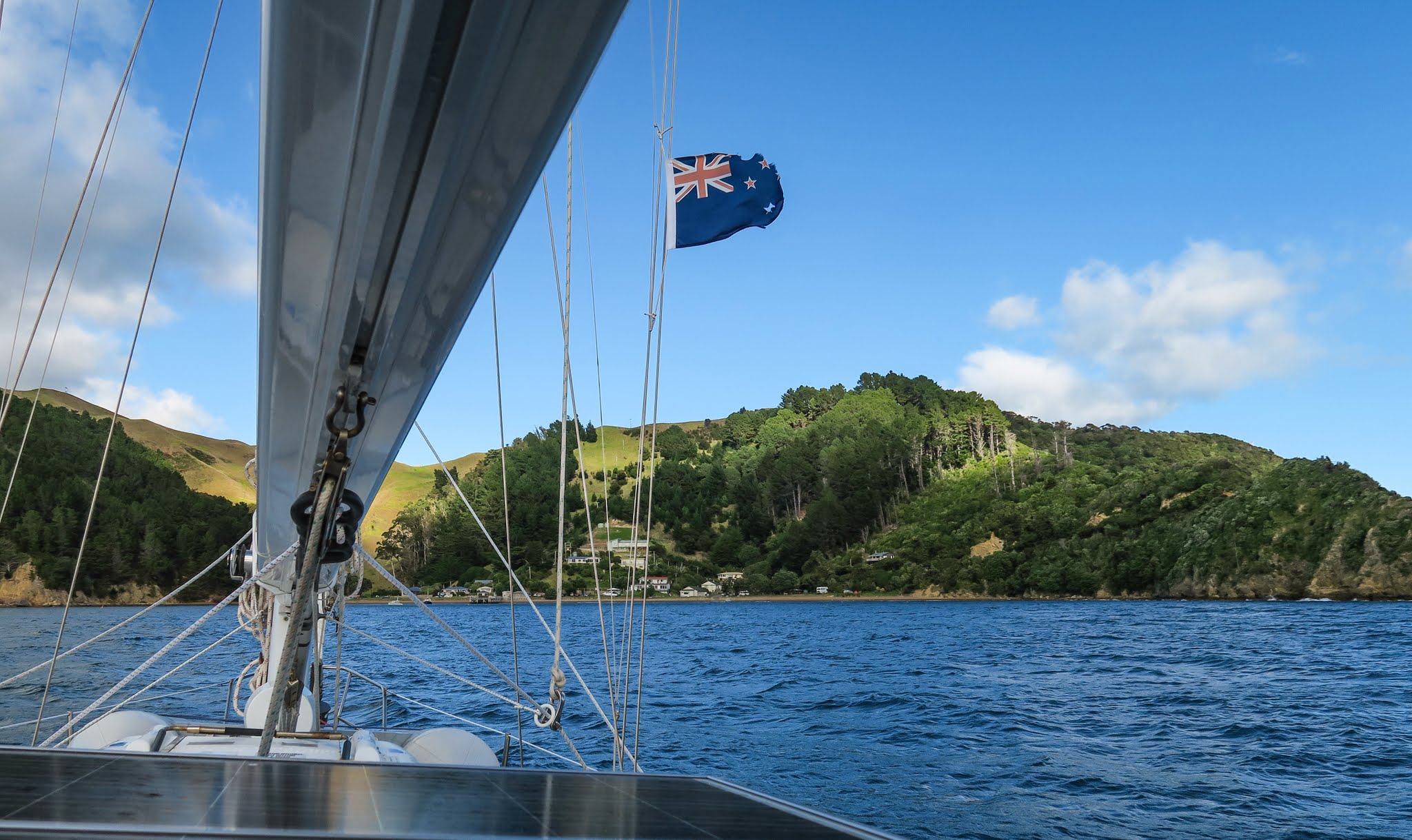
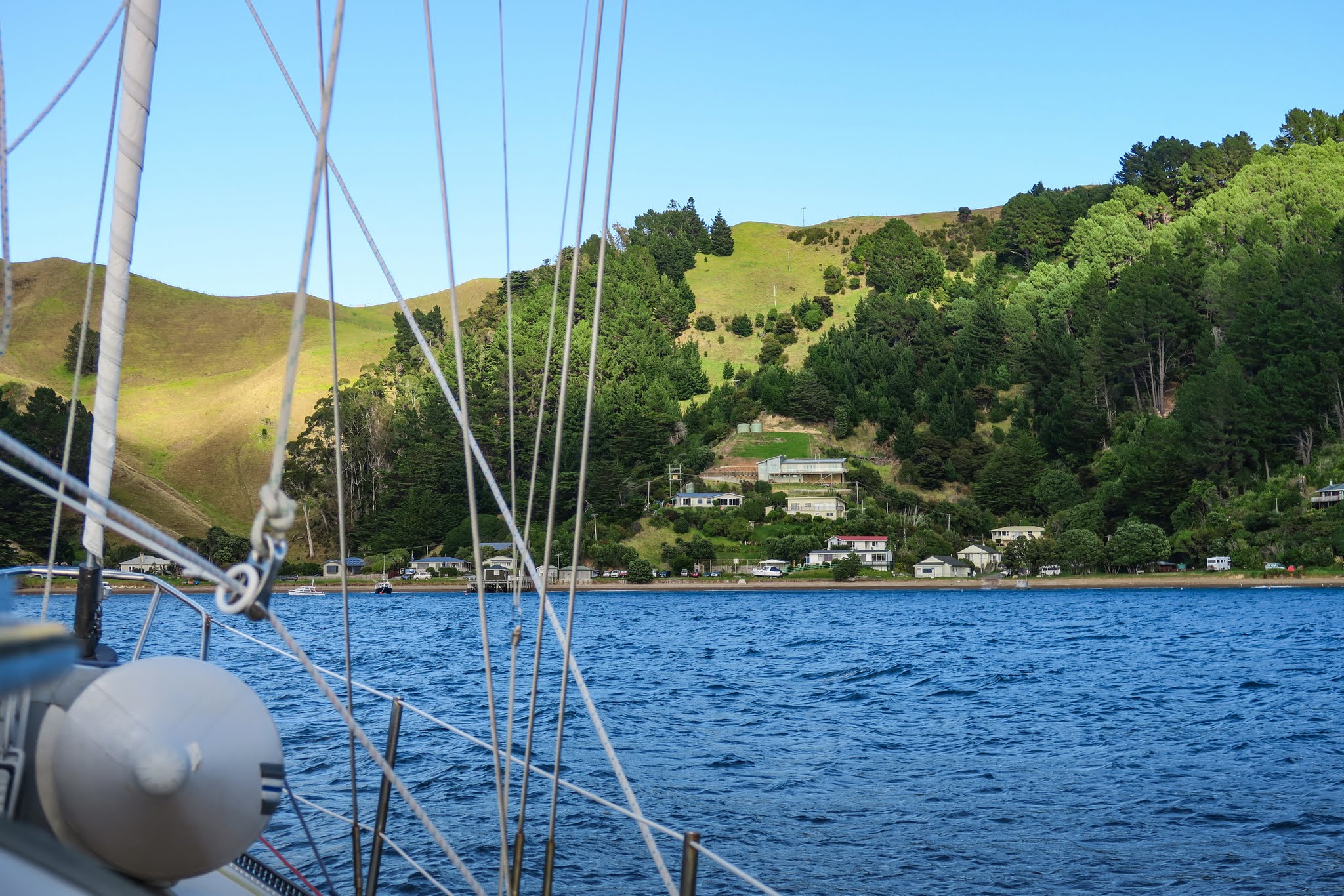
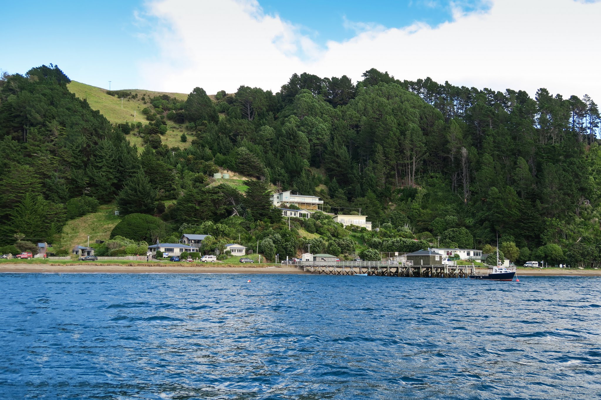
This attractive bay with hillside homes and fishing boats would probably be a wonderful stop in calm conditions. But there was nothing wonderful about it today: the winds were wrapping around the headland and whipping right into the anchorage at a solid 20 knots. It wasn’t much of a refuge, but it was better than motoring around in circles in washtub seas. Nothing to do now but wait. –Cyndi (Below, a gallery of Elmslie Bay.)
(It was difficult to anchor in Elmslie. The area that’s shallow enough is taken up with moorings. The rest, too deep. We borrowed someone’s mooring. As we were only going to be about 30 minutes, we didn’t feel too bad about doing this. An overnight stay might be difficult. -Rich)

