April 9, 2016
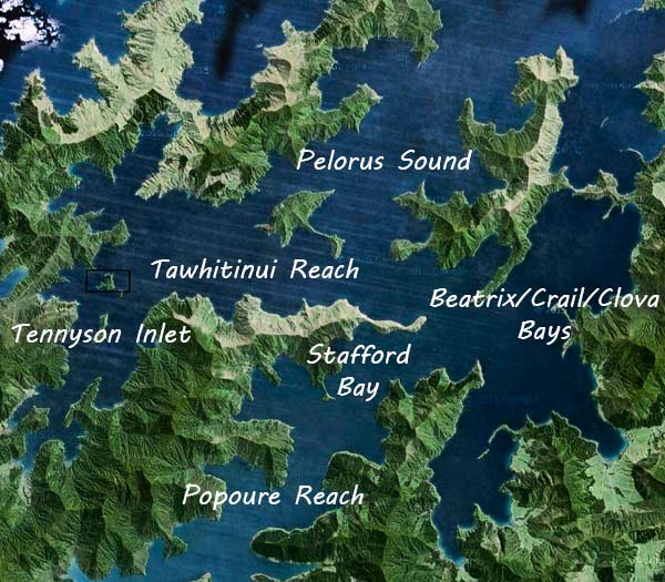
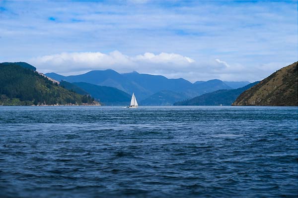
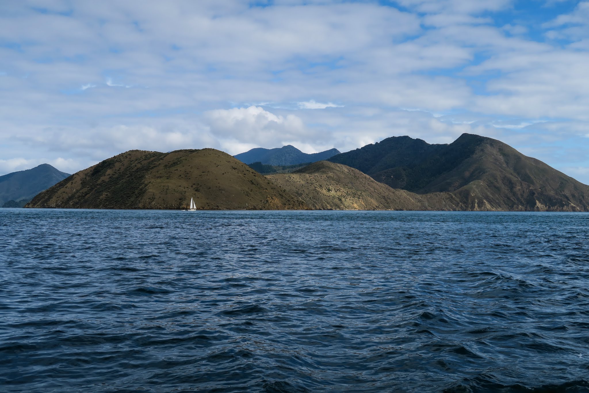
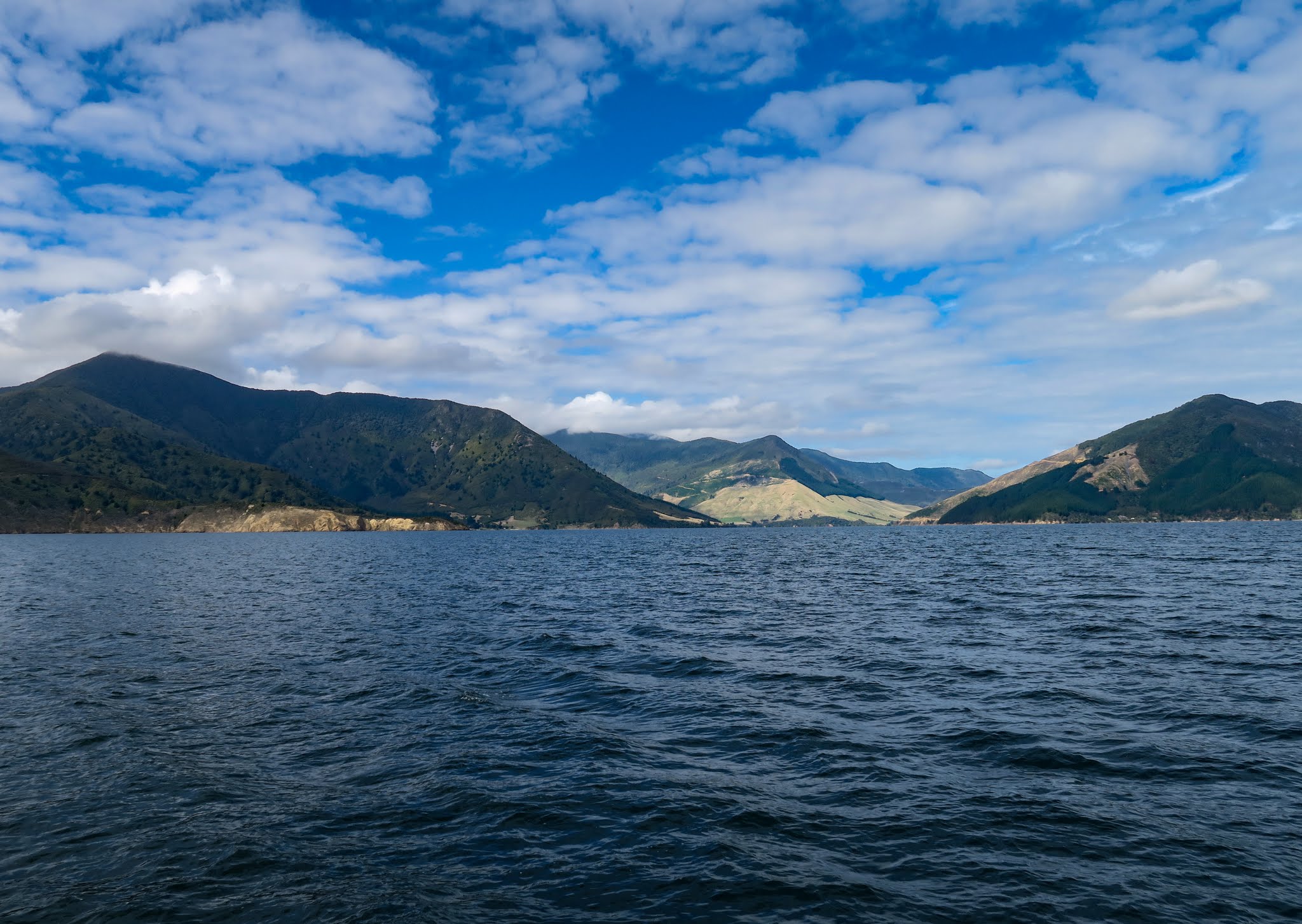
We headed out of the Tennyson Inlet and started our long ride down the Tawhitinui Reach. To our right was a line of tall, dry mountains. On our left was the outer Pelorus Sound with its triangular Maude island.
Below the Tawhitinui Reach. (Click to enlarge/scroll through both any galleries below.)
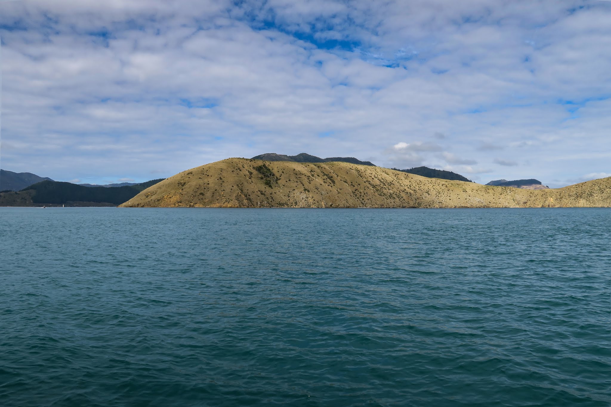
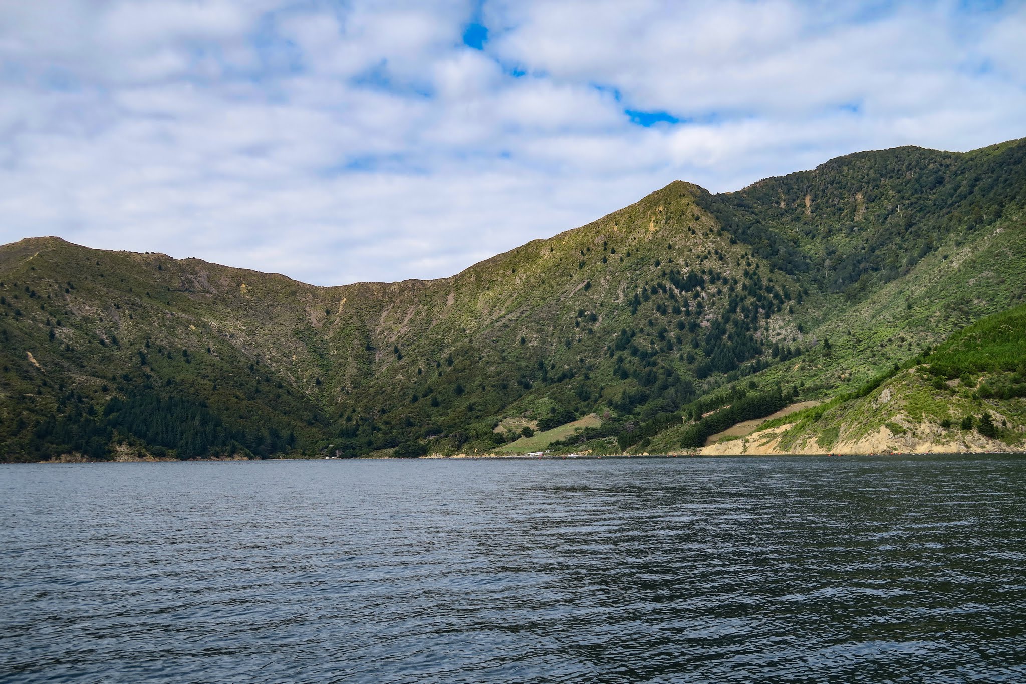
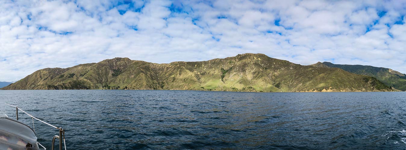
In an hour, we’d reach another waterway called the Popoure Reach. But before that we planned a detour into the Crail/Clova/Beatrix Bay area, a huge drowned valley nearly encircled by mountains. Once we ventured through its pass, we found ourselves in a large, lake-like body of water surrounded by huge mountains. It sounds enticing, but the mountains were mostly dry and desolate-looking, even imposing. It was fun to come and see it; but it did not feel like an appealing or welcoming place to stay.
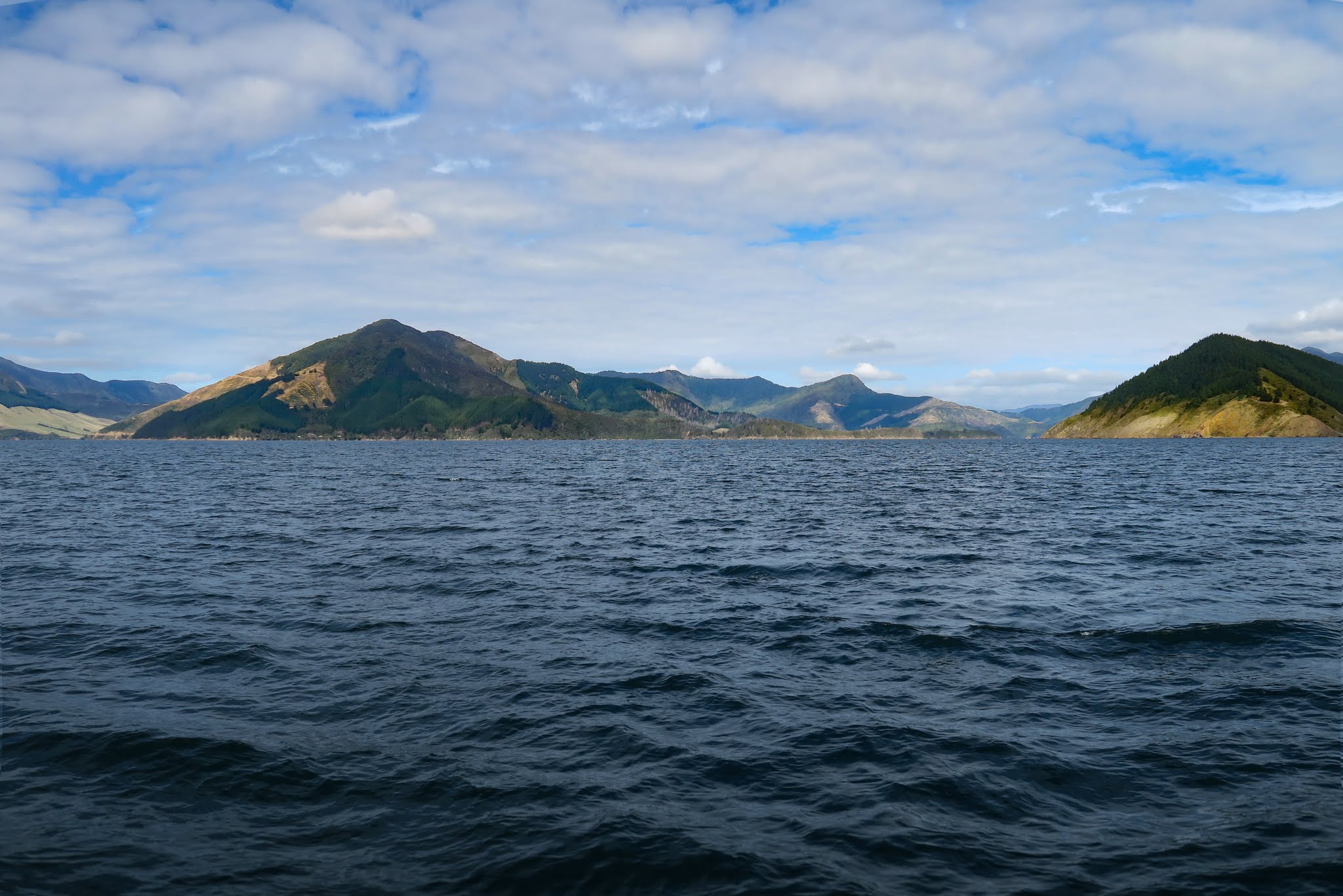

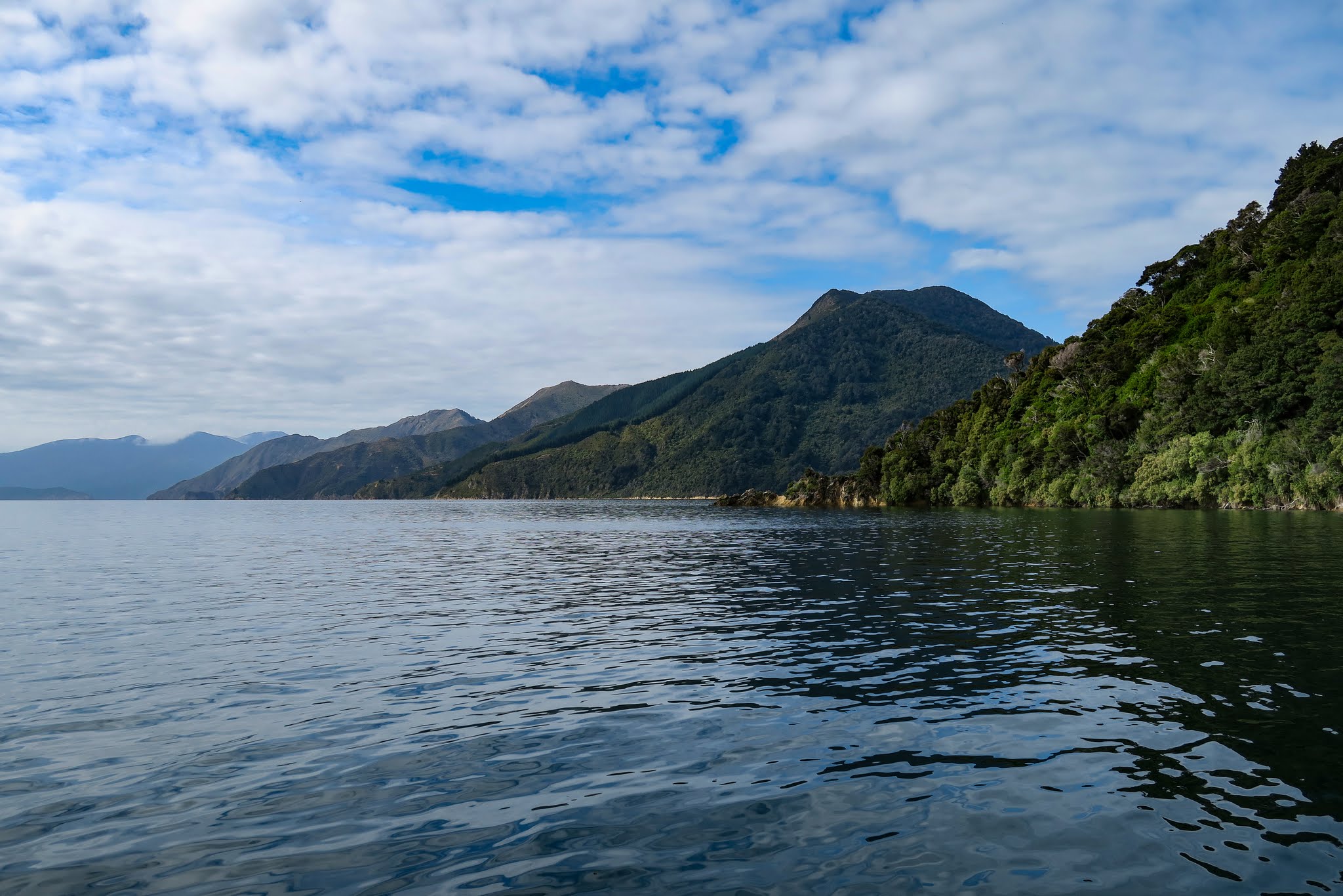
Satisfied, we turned and headed out and made a left turn into the Popoure Reach where we’d stop for a night before heading on to Kenepuru Sound. –Cyndi