
June 28, 2016
I read this morning that Google has updated the imagery it uses on Earth and Maps by moving from the old Landsat 7 NASA satellite (which suffered a hardware failure in 2003 resulting in gaps in the images), to the new open-sourced Landsat 8 higher resolution images. This should eliminate a lot of areas with clouds.
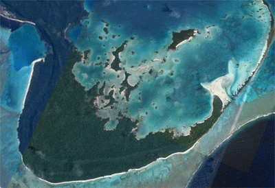
Fulaga, Fiji has been an area with poor coverage. Here’s an animated GIF with the the old and new images.
This is good news and bad news!
“Yo, dude? How can this be bad news? The better the picture, the better it is for navigation!”
The bad news is that now we have to remake (of find) new KAP files! All those hours I put in! Oh well, what else am I going to do? Scrimshaw?! -Rich


