April 19, 2016
Now that we’d finished cruising the sounds, our next destination was Abel Tasman National Park, 40 miles across a large area of water known as Tasman Bay.
While most of the national park is located along the west side of Tasman Bay, it actually starts a bit further on, in an area called Golden Bay. It then runs along the coast for about 20 miles down to Kaiteriteri Bay at its south end. The area isn’t very big compared to the sounds, and we figured we could cover it in a week or two.
The map below is interactive. Click on the markers to see what’s what, or zoom in and out.
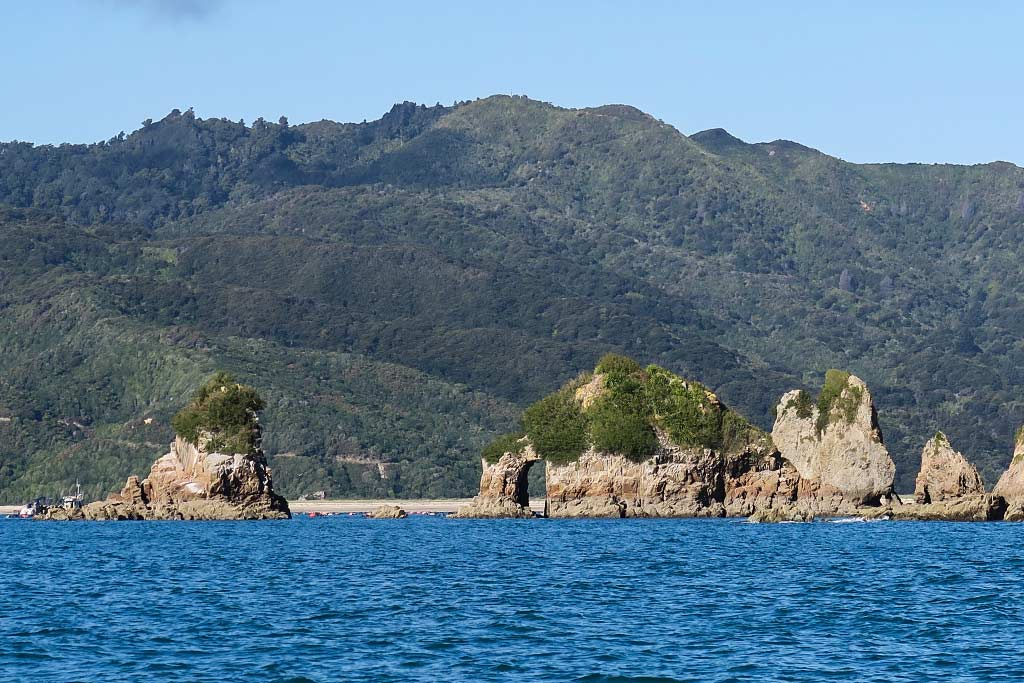
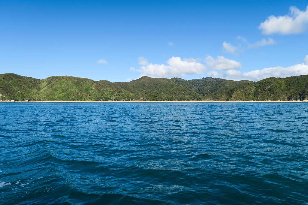
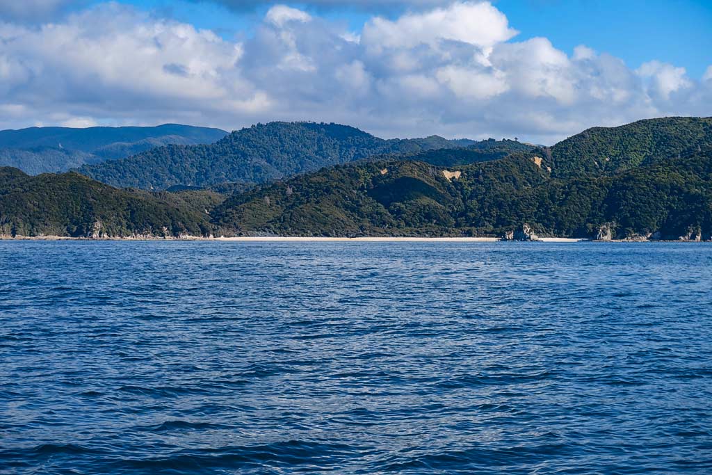
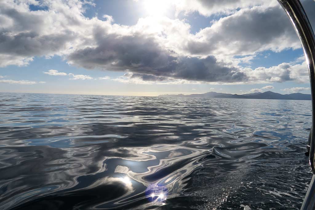
We decided to start our cruise on the far north end, motoring all the way into Golden Bay to two large rock formations known as the Tata Islands. It took all day to get there, but it was a pretty motor ride across calm seas.
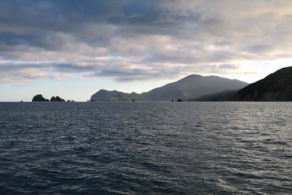
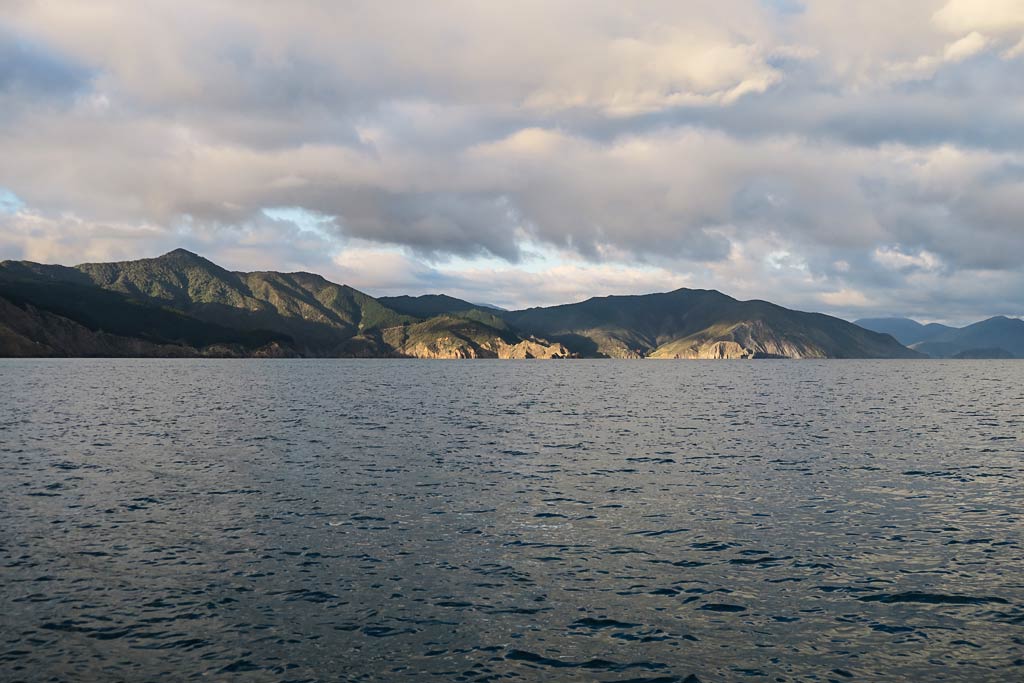
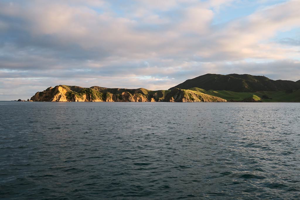
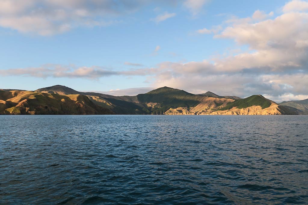
The photos below start with an early morning departure showing the east coast of Tasman Bay and D’Urville Island, and ends with our first glimpses of the beaches and rock formations along the Abel Tasman coast. (Click to enlarge and scroll). –Cyndi