Home! (One of Many)

December 27, 2015

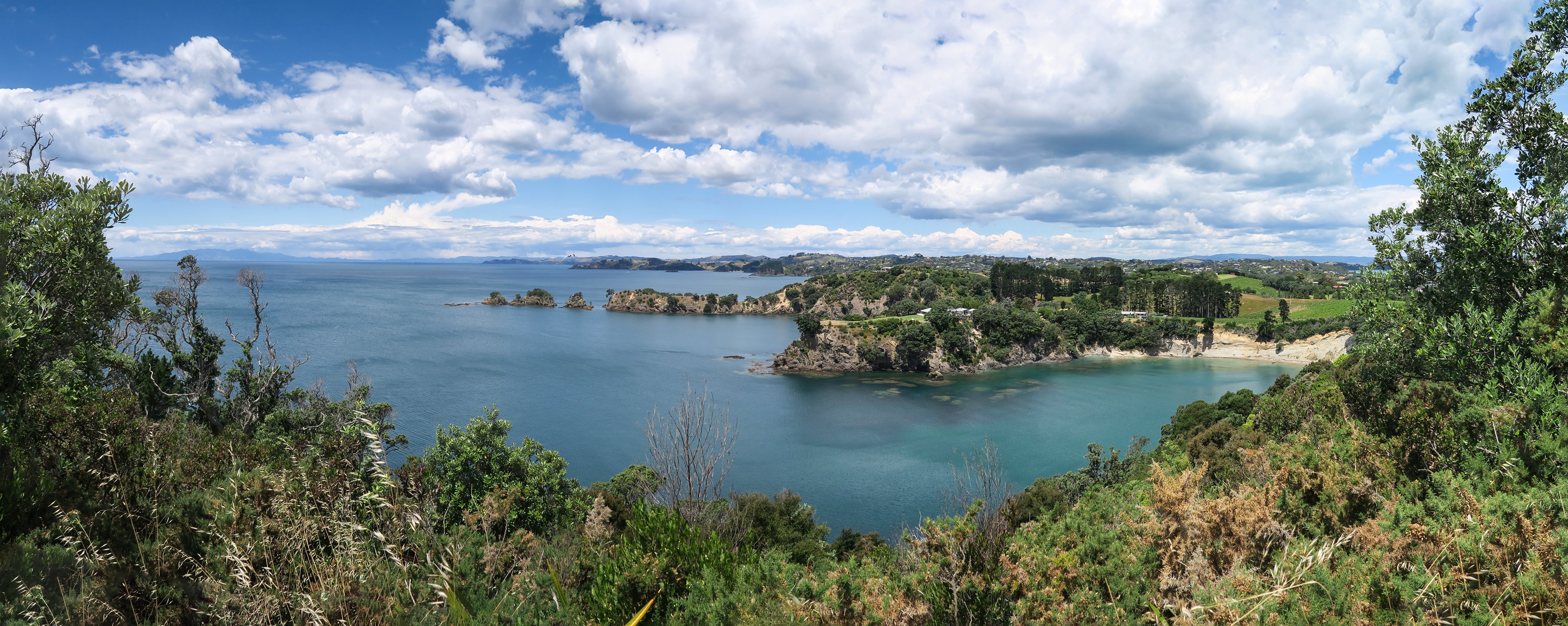
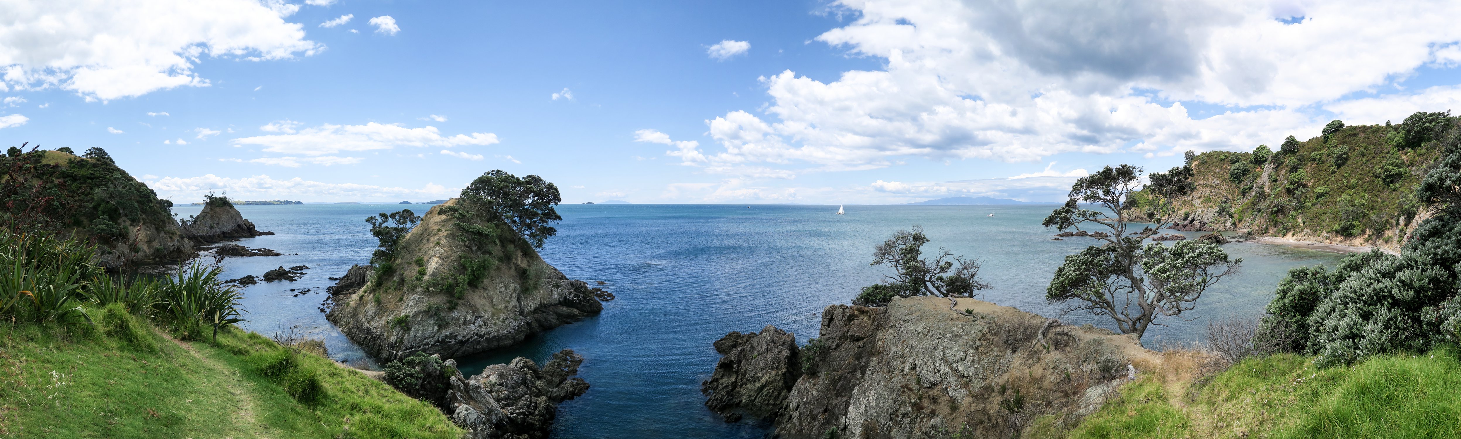
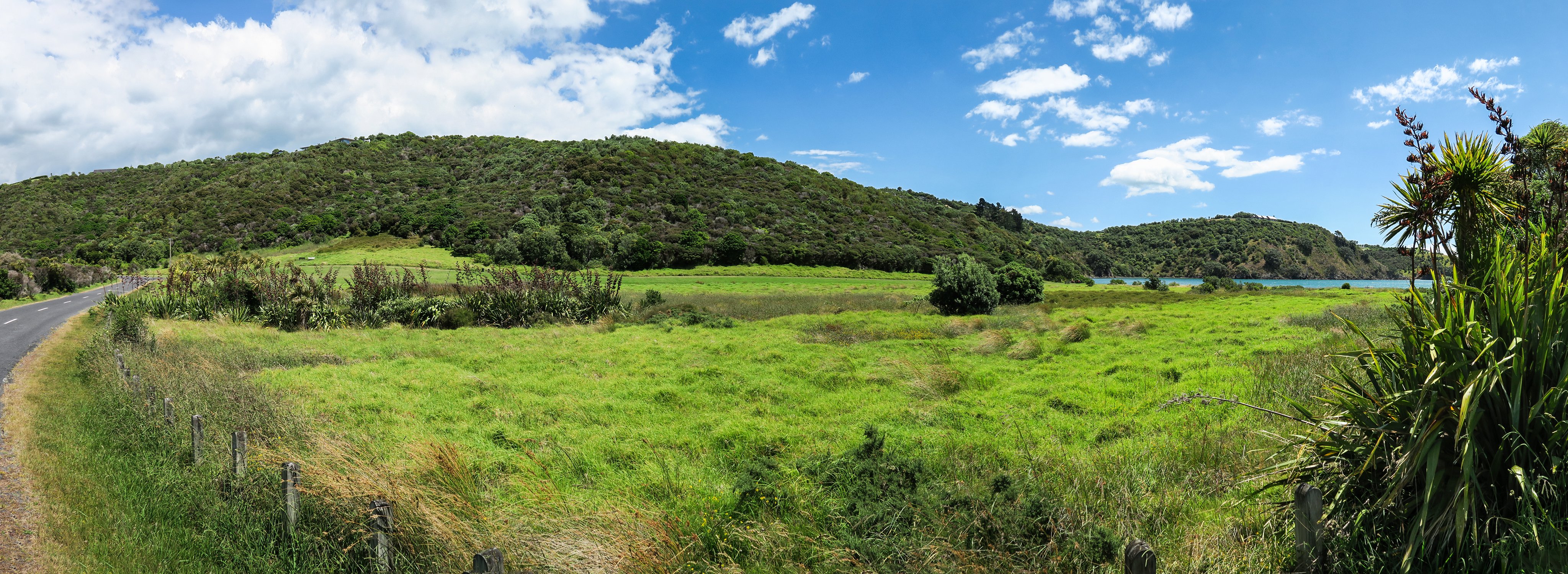
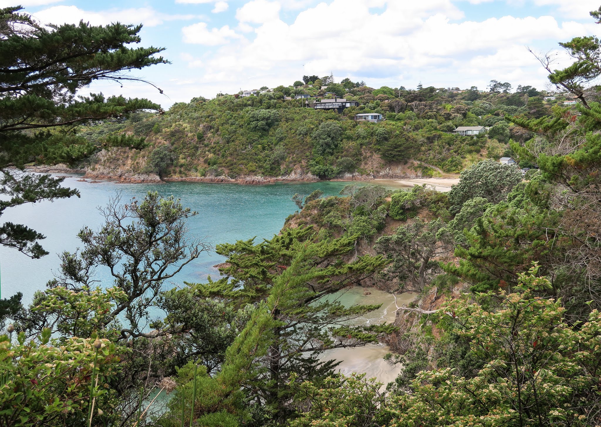
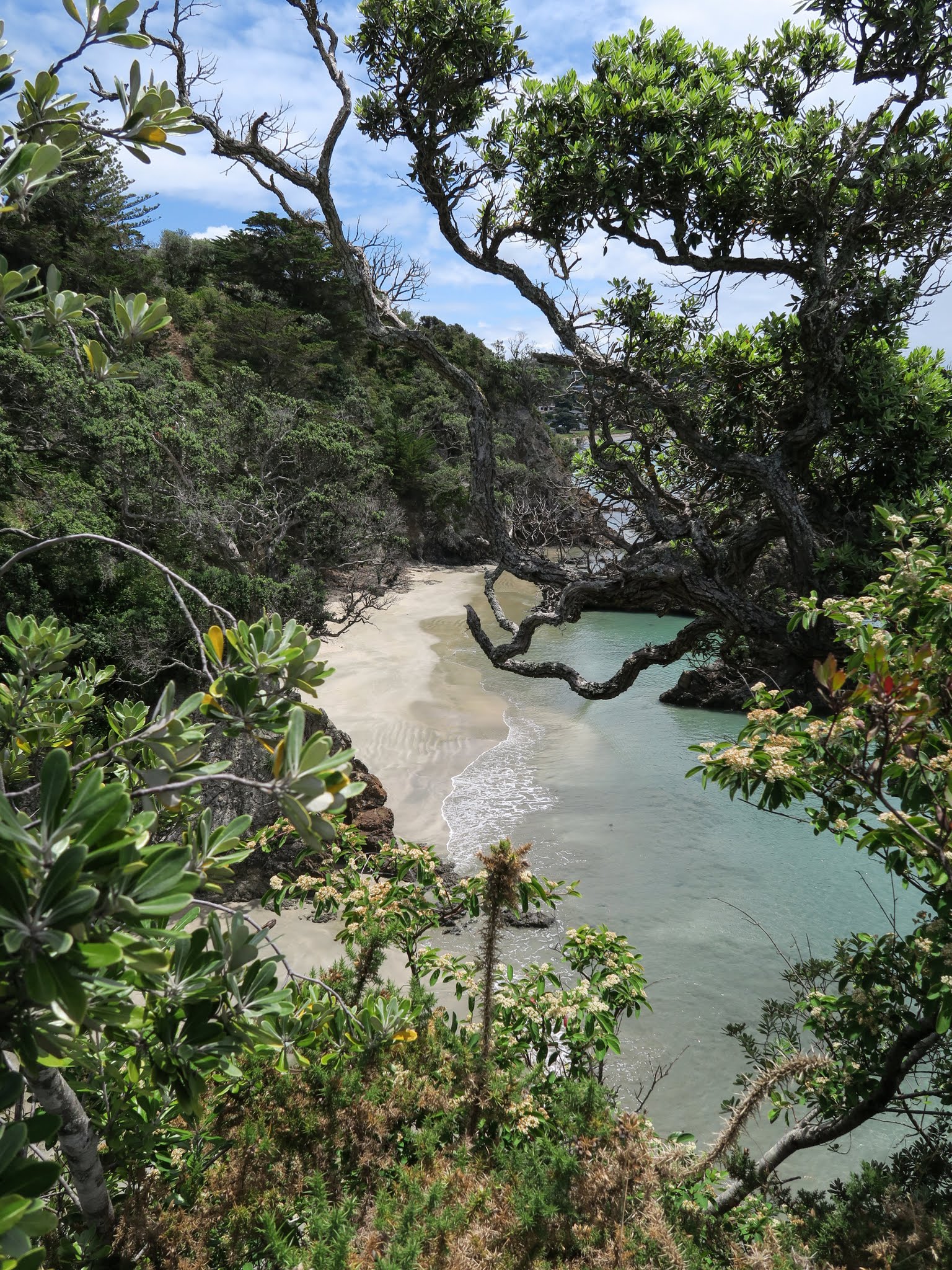
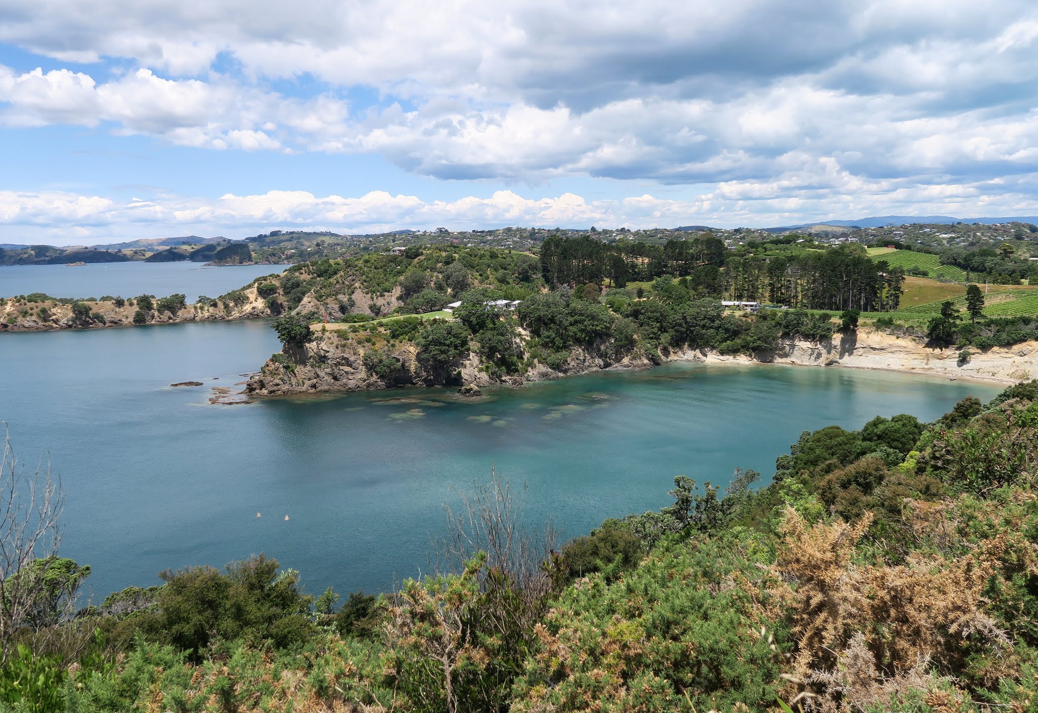
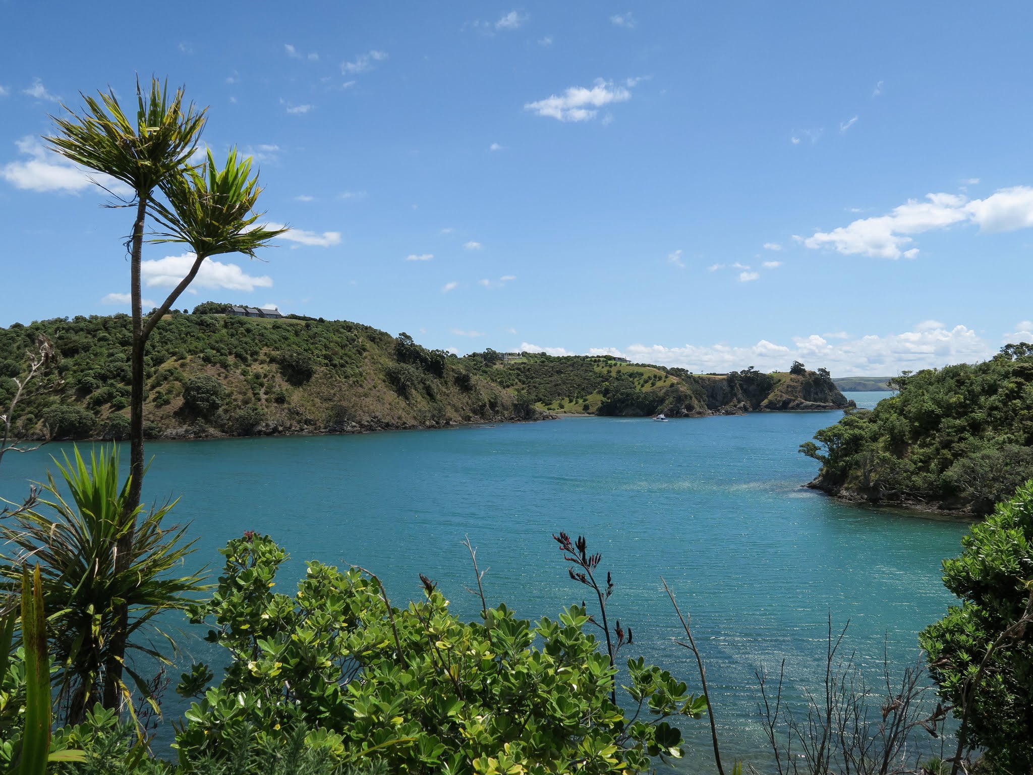
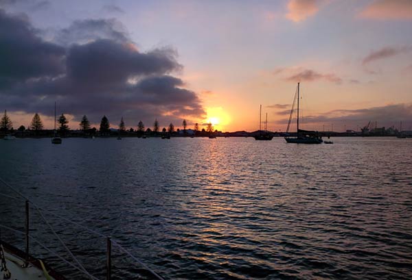
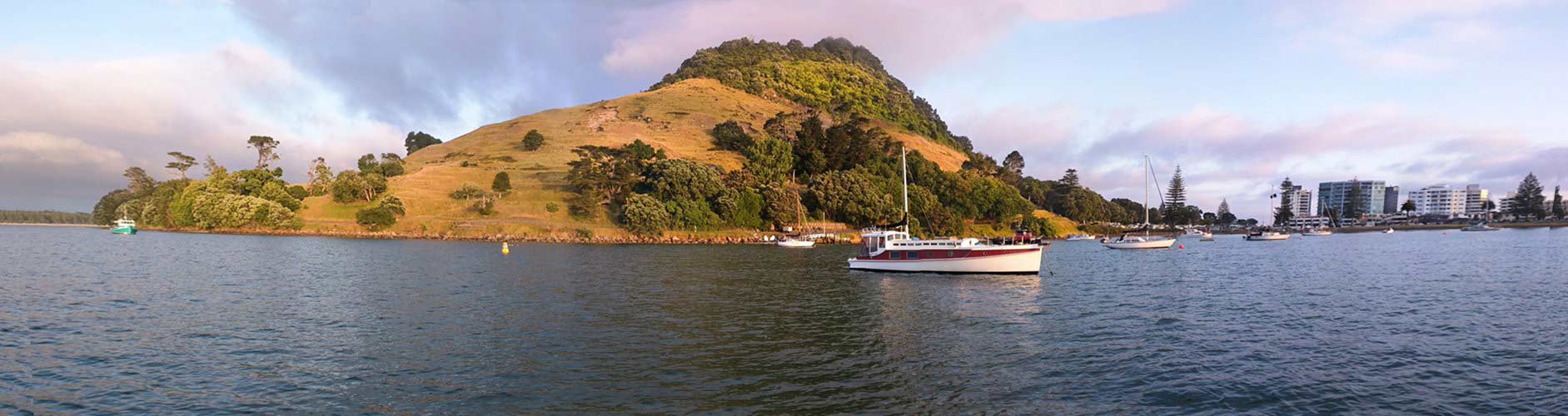
We arrived in Tauranga (and Mount Maunganui) in the dark last night after an unintentional 84 mile trip. More on that in a second. Here’s the scene we woke up to.

Pilot Bay, Mount Maunganui, New Zealand.
Pilot Bay, Mount Maunganui, New Zealand. Click for larger version.
Pilot Bay, Mount Maunganui, New Zealand

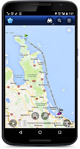
Unintentional? We started the day near the tip of the Coromandel with the intention of only traveling 30 miles or so to a suitable place to stop for the night. We never found that place. Every time we’d consider a bay, either the wind or the swell was or would be rolling in before morning. We even anchored at Slipper Island for 30 minutes or so, until the wind backed to the northwest and it got bouncy in the bay. We just kept going and going until we arrived in Tauranga.

I wish I could say our well-after-dark arrival was uneventful, but no. Tauranga is a big shipping port with lots of big ships. It seems that they all wanted to leave the port just as we wanted to come in. One after another… 500 feet long, 600 feet long, traveling at 5 knots, 12 knots, turning left, right, up, down (well maybe not the last two). Wow, AIS is a wonderful tool. We could see their AIS signal long before they turned the corner at the mount. Even at that, it was still scary.

Anchoring wasn’t much more fun. So many boats. Every Kiwi is required to own three, and use them all at once, even at night. I finally gave up on what my eyes were telling me in the real world and stuck to the radar overlay on the chartplotter.  We got in. We drank. We slept! Now we’re safely tucked in our berth at the Tauranga Bridge Marina. It’s nice to be back in one of our  homes.
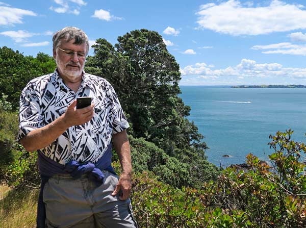
coromandel-ais

Speaking of AIS:

This is what our long day looked like on Marine Traffic Ship Positions on my phone. This is a fun app. I really don’t know how useful it is but it sure is fun. Bob on Bright Angel has been using it to spy on us. He seems to know where we are before we do!

It uses a network of AIS receivers and relays the info to the internet.

You can also see that info on their website: www.marinetraffic.com so you too, can spy on us.

-Rich

MARPA Bad?

December 23, 2015

Well, with our Simrad 4G radar and Simrad chartplotter, I’d say more non-existant than bad! Let me back up.

MARPA stands for Mini Automatic Radar Plotting Aid. After giving it a radar target to “look at,” it should be able to track that target and show its course and speed. The big guys have had this for a long time – commercial ships and work boats. It’s a newer feature in the small, less expensive radars we use on pleasure craft. I was excited that our Simrad system had MARPA, until I used it. Then, not so much. It really doesn’t work.

I bring this up now because of a recent article on the excellent Panbo blog (a website all about marine electronics) titled “MARPA on small radars, is Navico 4G especially bad?” Here’s a link. (By the way, Navico makes our Simrad equipment.)

The conjecture that none of the recreational systems have a very good MARPA was interesting to me, but I do think that Simrad (Navico) really has it wrong. It’s useless, with one exception: It leaves little dots where the target has been. I look at those to guess the approximate course and speed of the target. That’s all I use MARPA for.

Today I was playing with the system (only because of the Panbo article) and tracking one particularly erratic target. Below is an animation of screen shots I captured during the course of about 1 minute. See for yourselves…

Erratic MARPA target on Simrad 4G radar.

Odd that this was changing course and speed so much… SINCE IT’S A ROCK!

The erratic rock on the chart display.

(For those of you who would like more explanation, on the animation, our boat is at the center of the screen near the bottom edge. The MARPA target is just off to the right of center. It’s the object with the black arrows and lines coming from it in various directions. The black arrows indicate where the ‘rock’ will be in 30 minutes at it’s current course and speed.)

“Yea, yea,” I hear you saying. “Your poor system had a hard time tracking that island because your boat was getting tossed around like a cork!”

No sir. See the video I took at the same time…

While the boat was rolling and yawing a bit (as you can see from our course line in the animation), the seas were very calm and there was little wind. We were motoring. We’ll have to come up with a better excuse than the rough-seas/small-boat one.

While I do very much like our Simrad equipment, I am coming to the conclusion that perhaps they should have paid a little more attention in math class. This is not the only calculation that seems more than a little off in our Simrad system. Here’s a quick picture I took today because I just couldn’t believe what our B&G instruments (also Navico) were reporting for true wind speed…

true-wind

The wind instrument display shows the true wind behind us at 4.7 knots. My calculations show that for a boat speed of 5.1 knots (the B&G instruments use the speed through water) and an apparent wind at about 8° off the bow to port, the true wind would be 206 degrees to port at about 1-1/4 knots.

Common sense and an approximation of the above picture tells me that if the boat is moving forward at about 5 knots, and the apparent wind is on the nose at 4 knots, than the true wind must be from behind at 5.0 – 4.1 or 0.9 knots. (Yes, the wind instrument seems to be pretty well calibrated – again, another excuse is needed here as well.)

I think some of this might be due to smoothing or buffering, but I’ve seen this a lot, especially at low wind speeds. The chart plotter will often display something completely different, and also often wrong.

I’m sorry to take you to task for this Simrad. I really do love our system, especially the 4G radar. I don’t know that anyone does it any better. -Rich

Waiheke Island Walks (Hauraki Gulf, New Zealand)

December 20, 2015

Well, actually, to be more precise, Oneroa walks. We’ve spent a fair bit of time on Waiheke but usually, we’re running and doing and haven’t really explored our Oneroa neighborhood. This time we had a chance.

Waihike Island Walks. Click to enlarge.
Waiheke Island Walks. Click to enlarge.


Above is a Google map of two incredible walks we took. These fall into the “must do” category, especially the longer one in green.

Here. See for yourselves.

Anchor SMS

December 18, 2015

“I can’t believe him! He’s walking through absolutely beautiful scenery and he’s looking at his phone?”

beautiful-walk-anchor-sms

anchor-alarm-sms
That’s because it’s windy. I’m sending a text to our boat to see how it’s doing. The boat will text me back with its distance from the anchor. How’s that for cool?!

Anchor Watch Pro on Android just keeps getting better. Now it not only sends you a text message (SMS) if the alarm goes off, but you can send it a key word of your choosing and it’ll send you back the anchor status. You can send a different key word and to change alarm radius.

This was really nice during the recent winds. We went ashore but were worried about the boat. I appreciated the comforting SMS responses from Anchor Pro. -Rich