A Hundred Thousand Islands

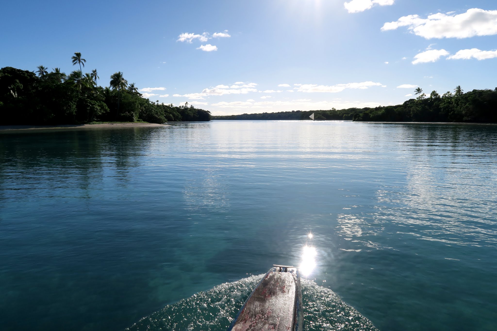
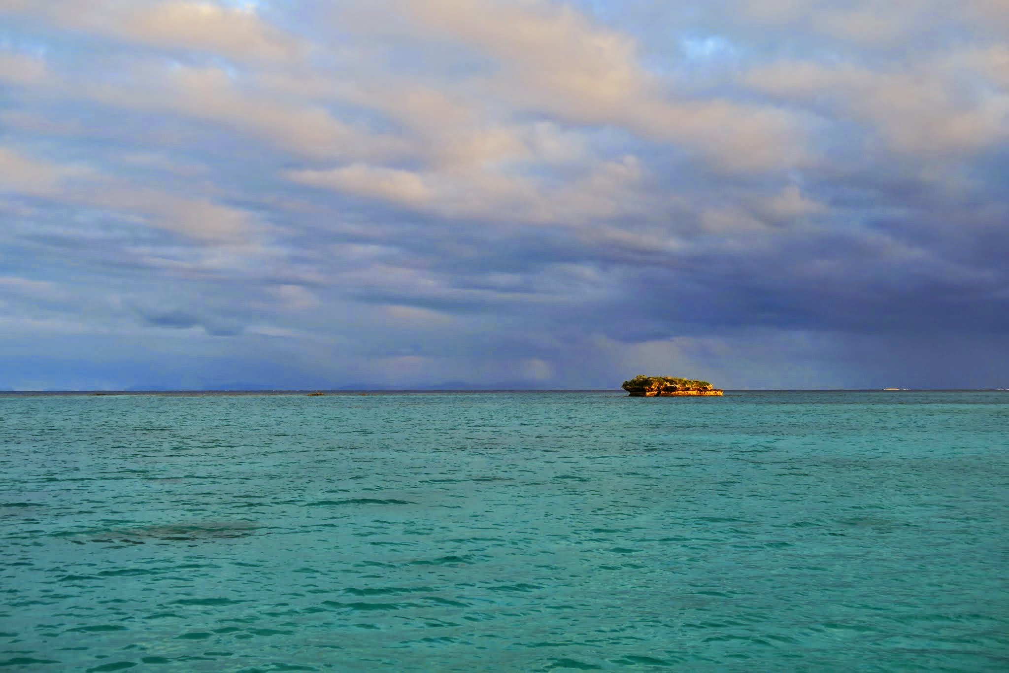
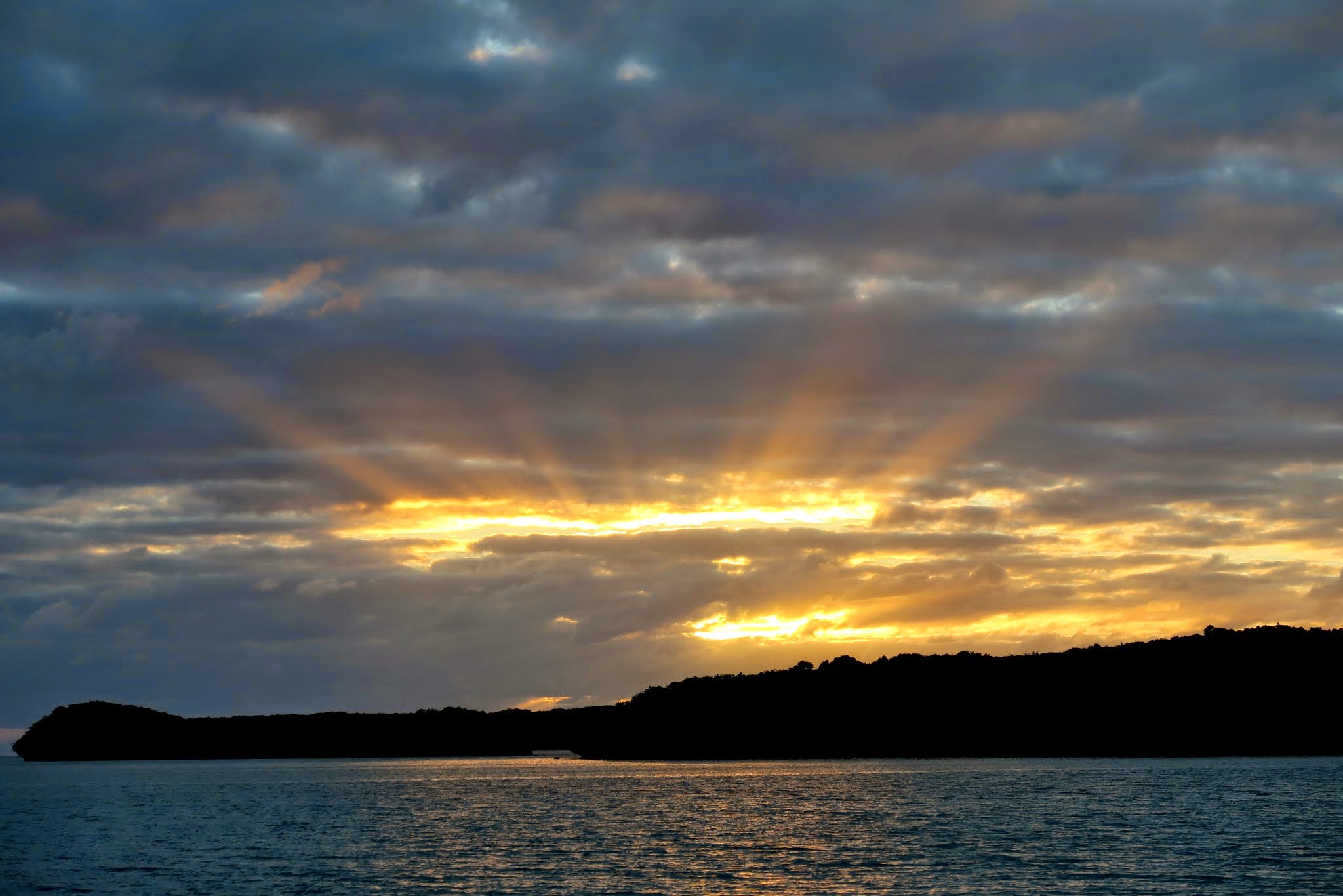
June 1, 2015 at Ilot Kouare, New Caledonia (don’t ask me how to pronounce it!)

If you don’t know the Crosby, Stills and Nash & Young song “The Lee Shore” you should. (Amazon link.) The huge lagoon we’re in makes us think of it.

From here to Venezuela,
there’s nothing more to see…
Than a hundred thousand islands,
flung like some jewels upon the sea

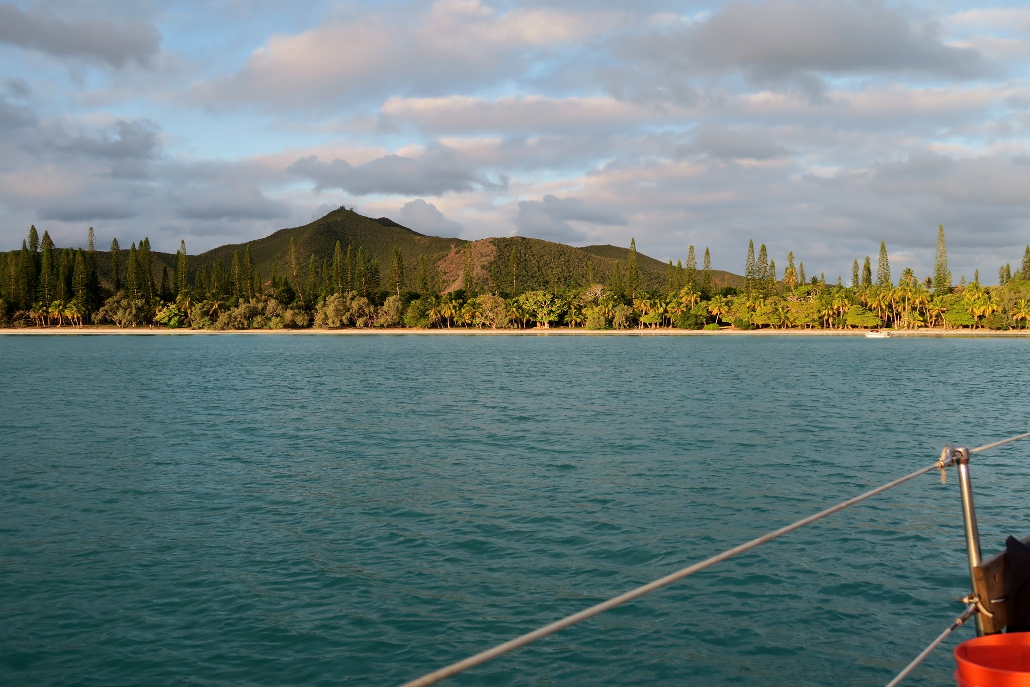
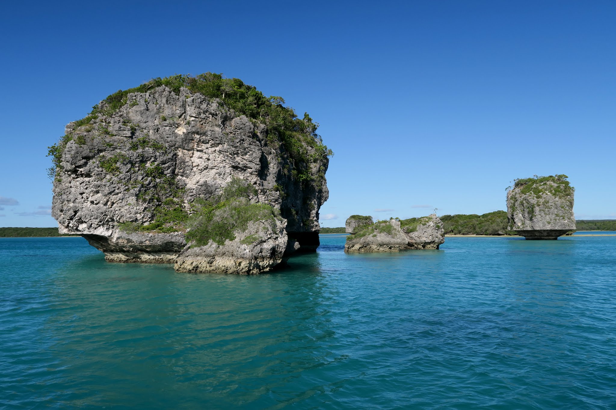
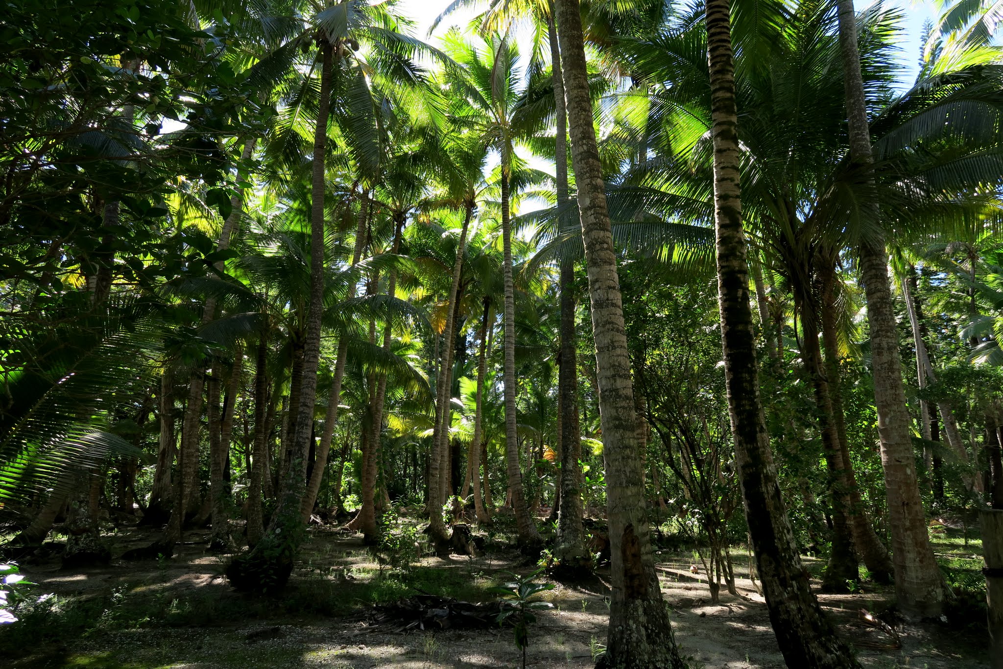
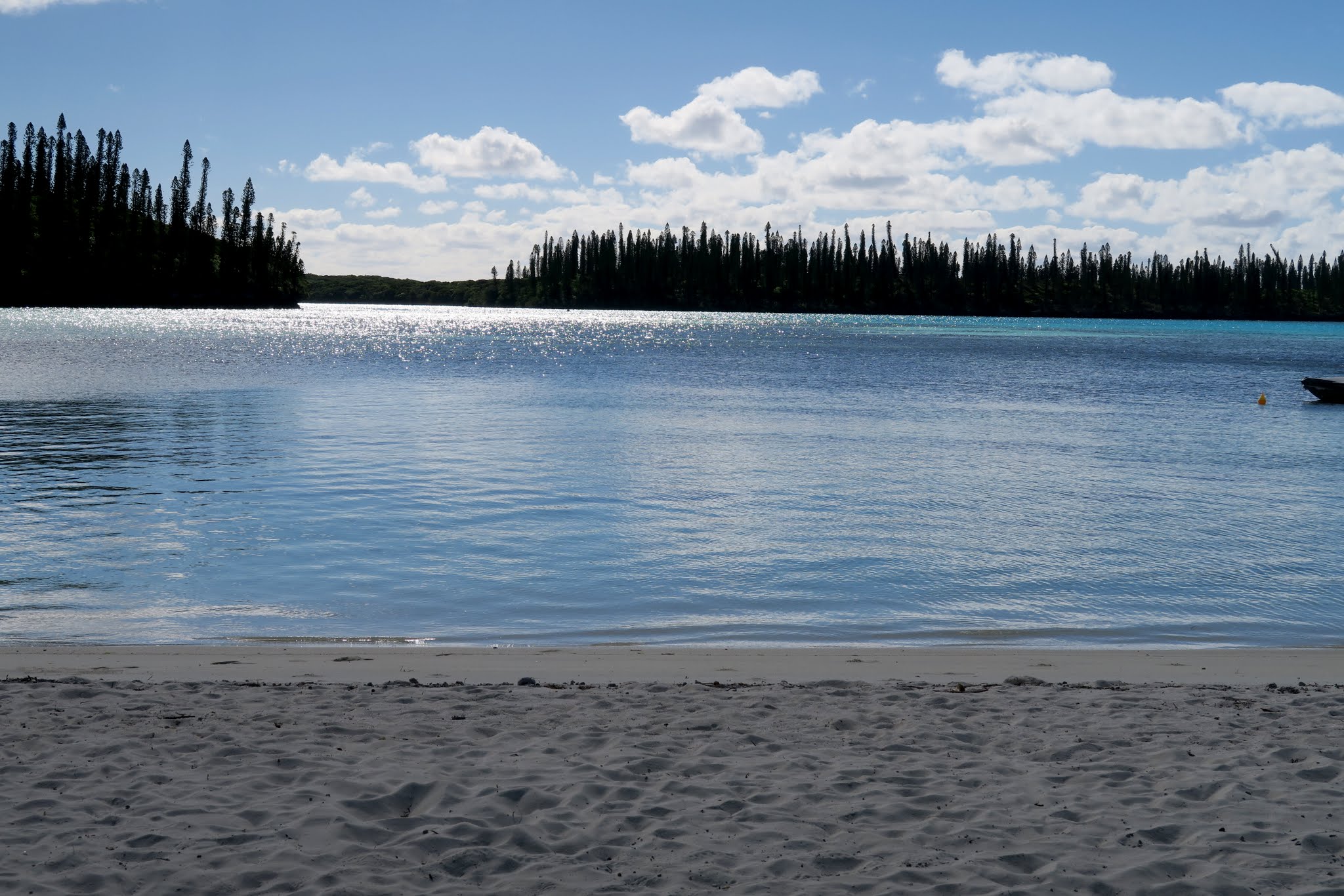
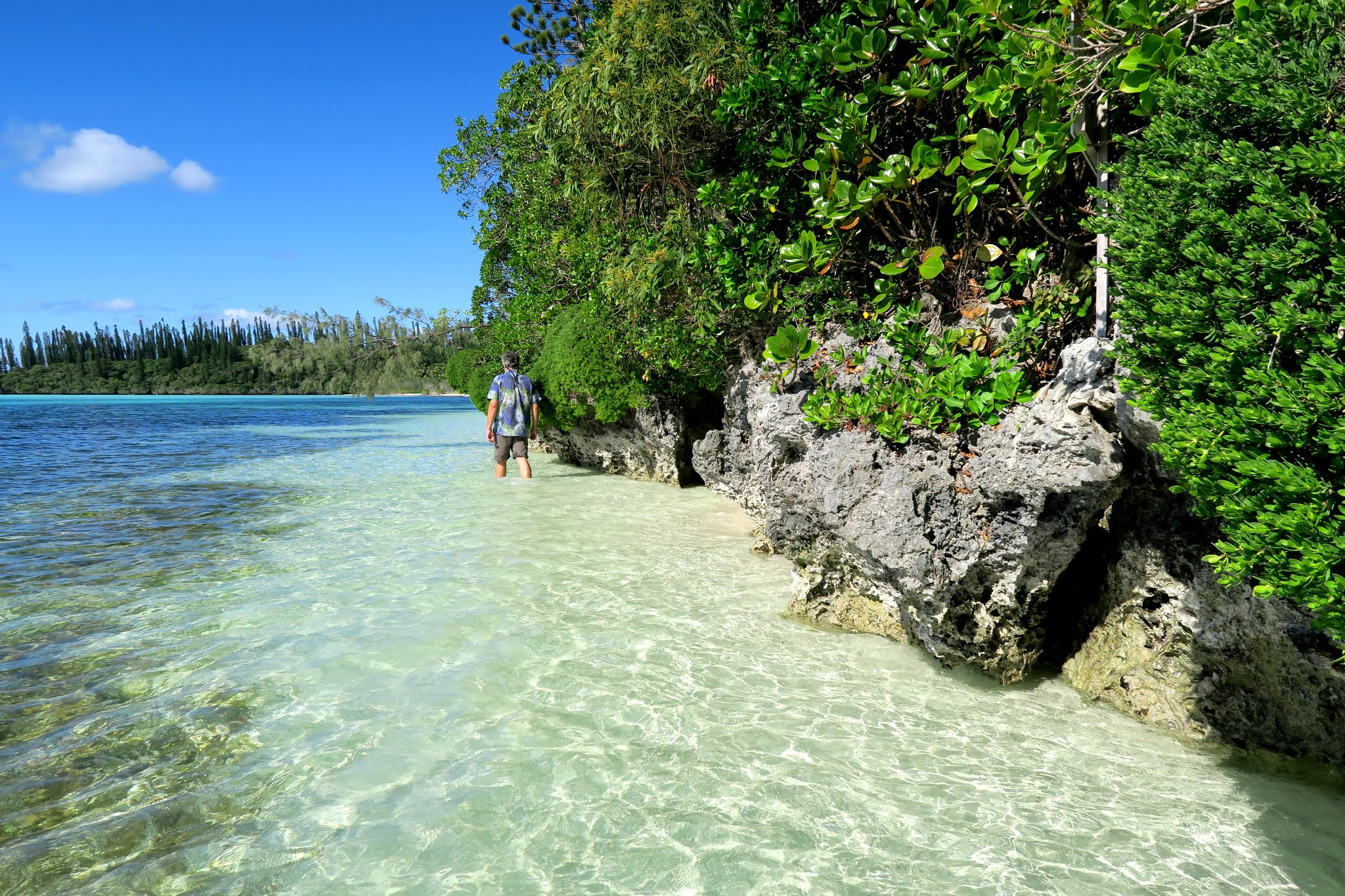
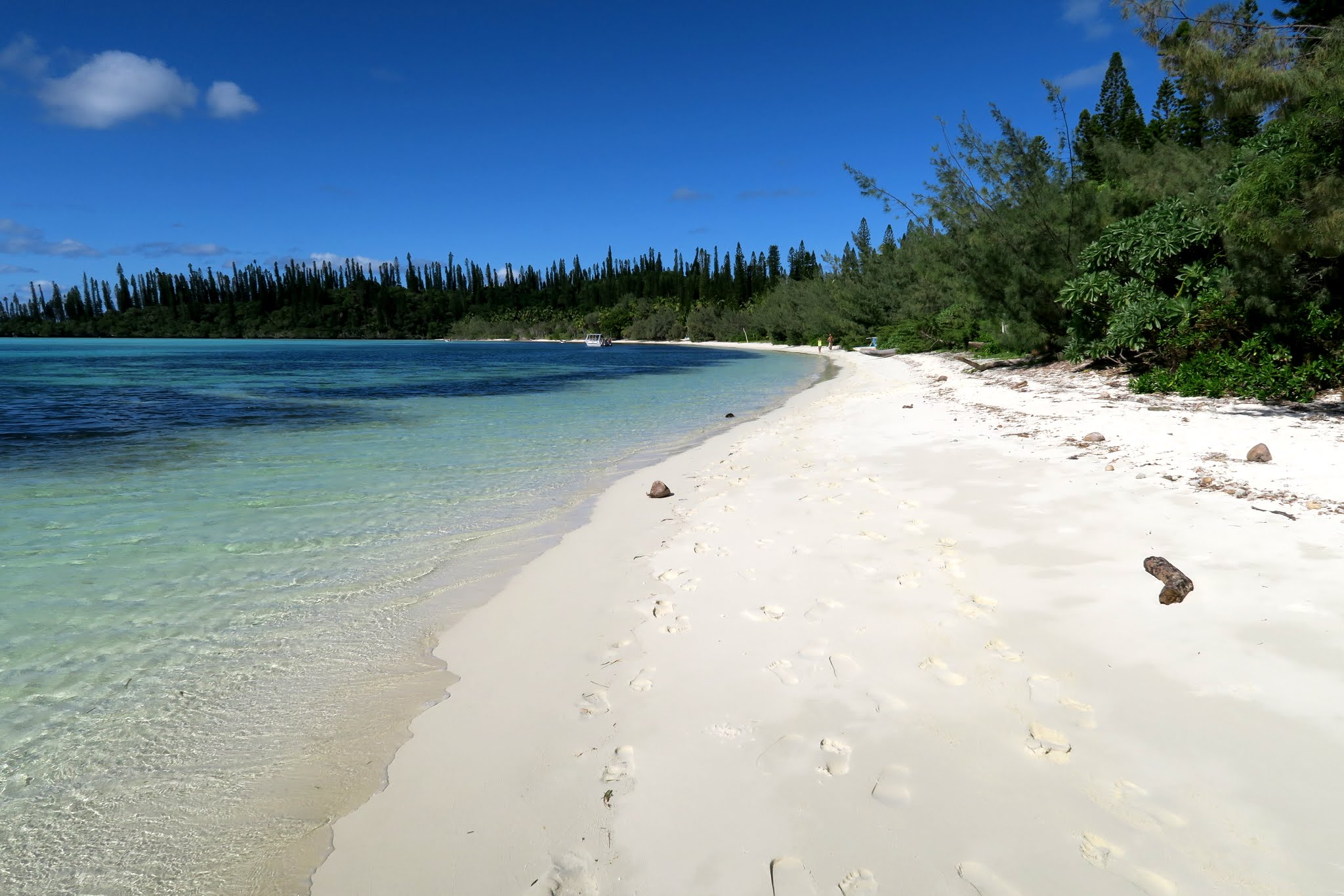
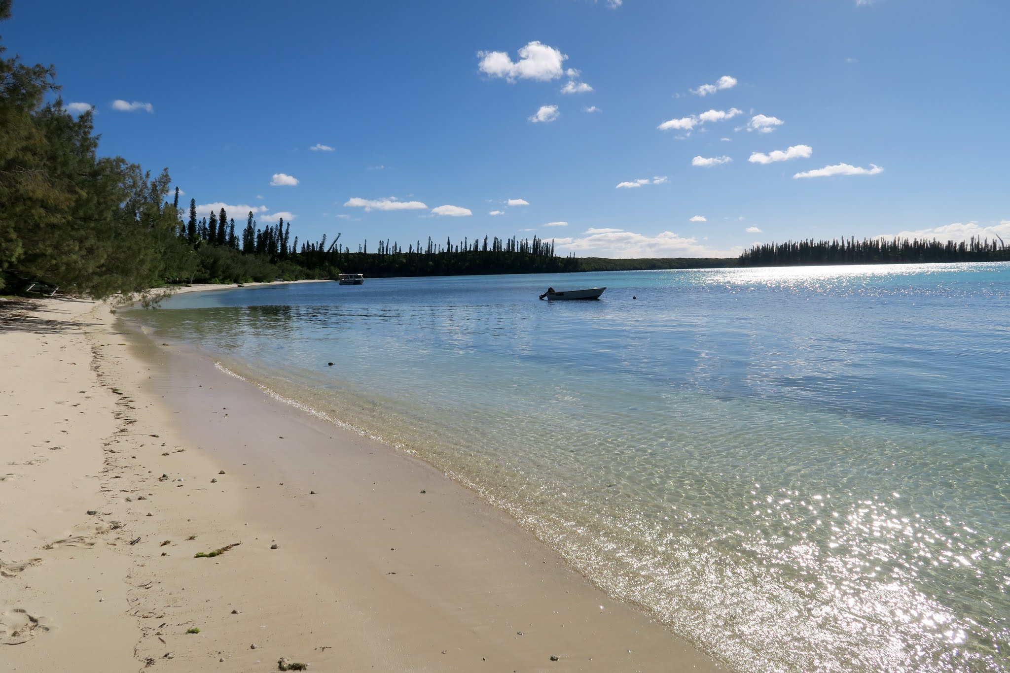
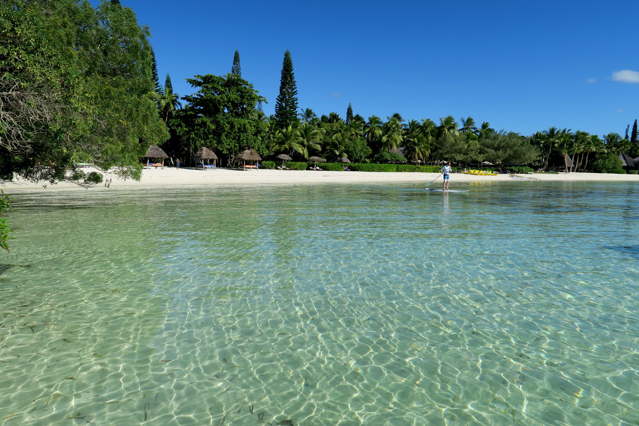
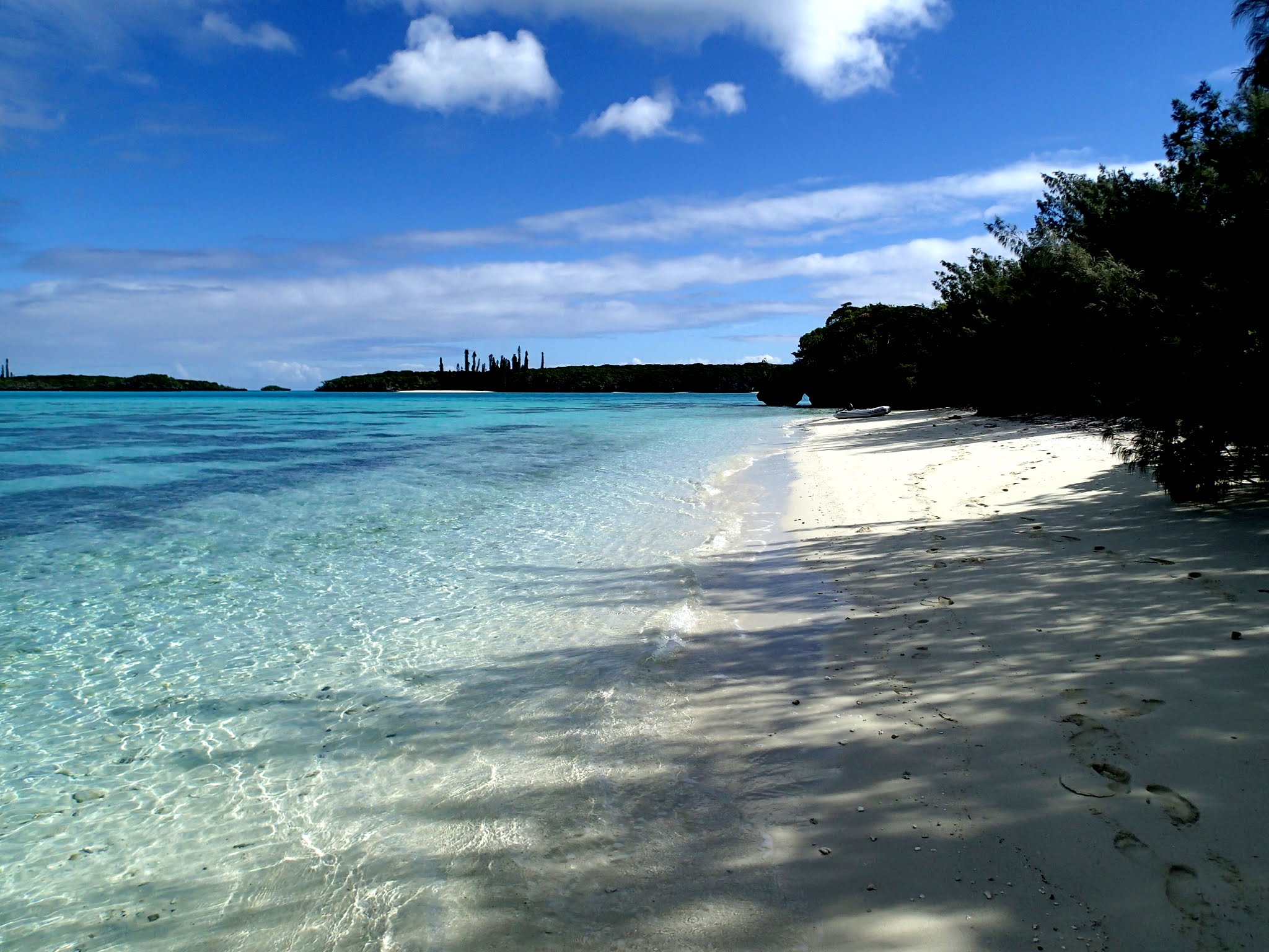
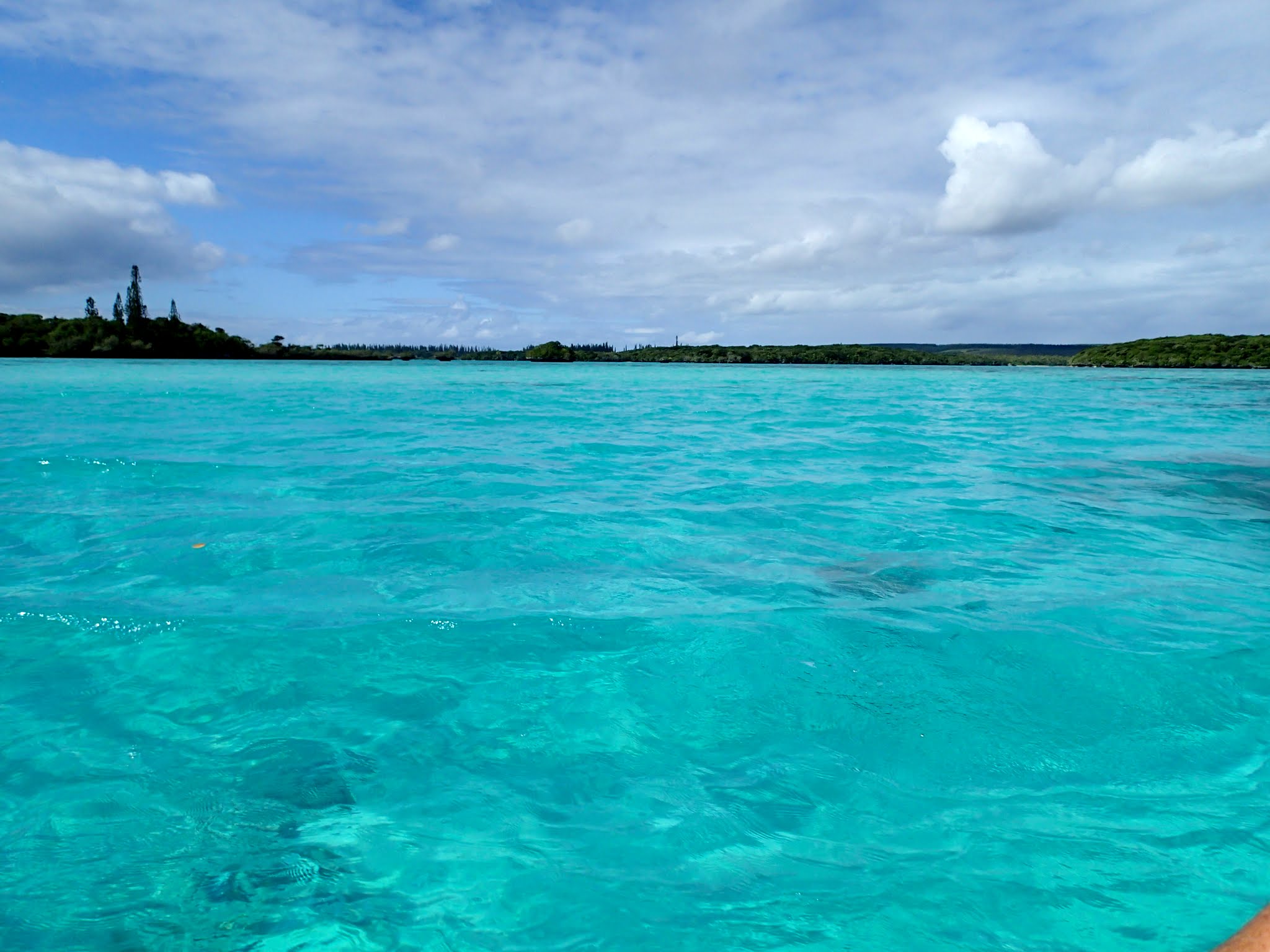
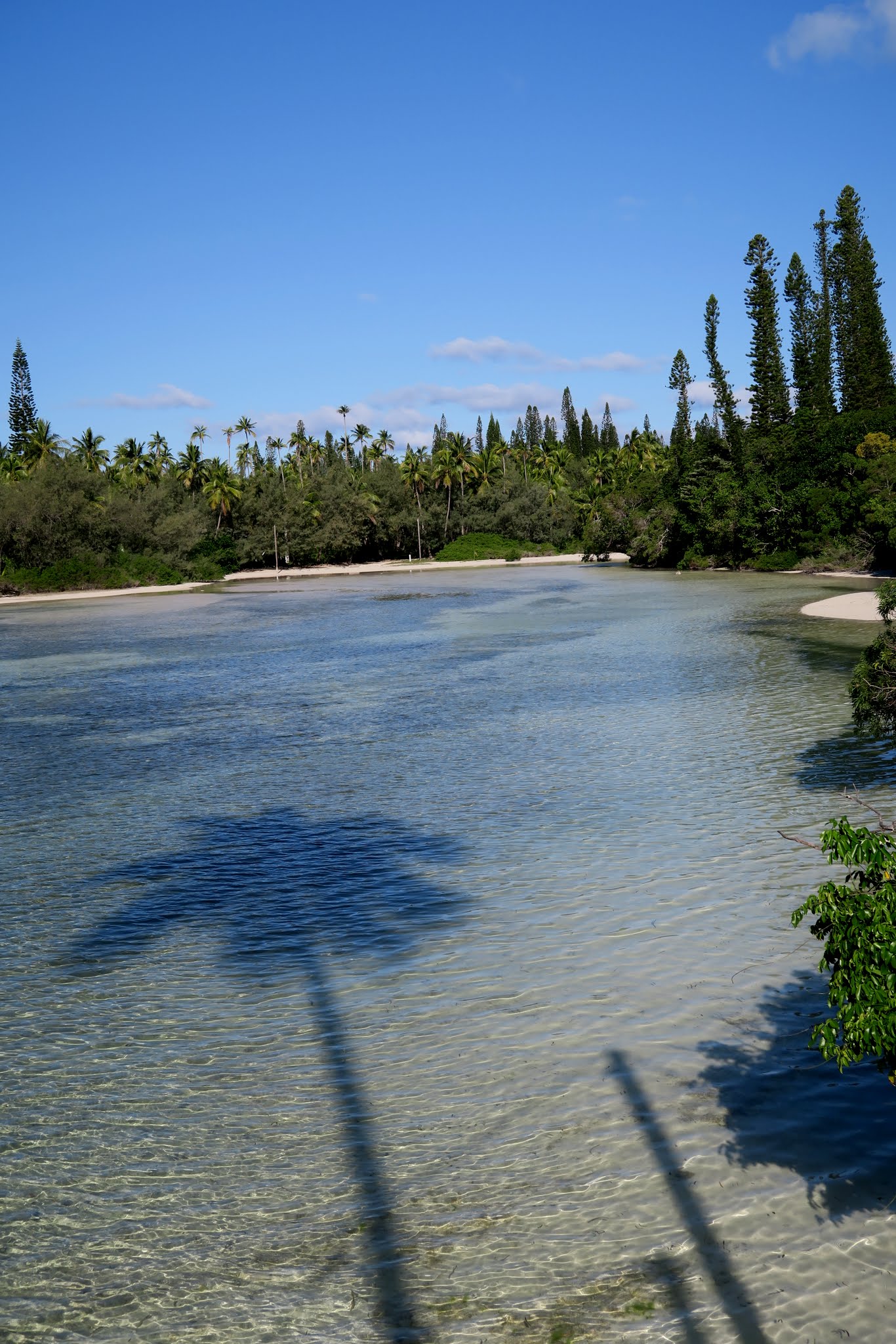
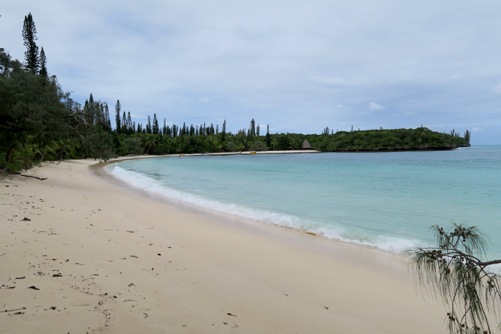
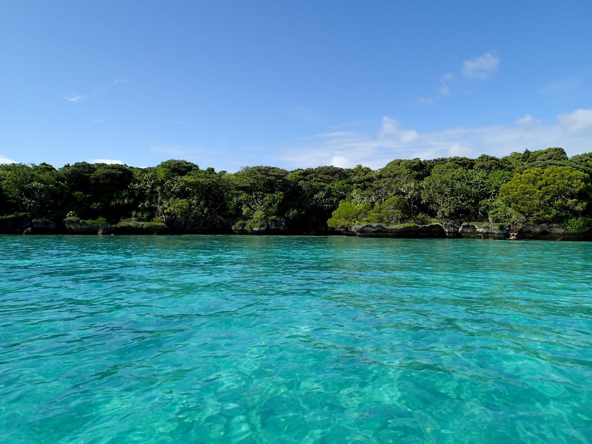
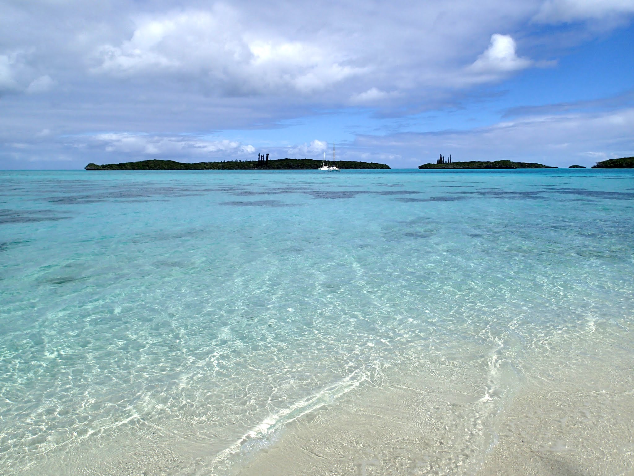
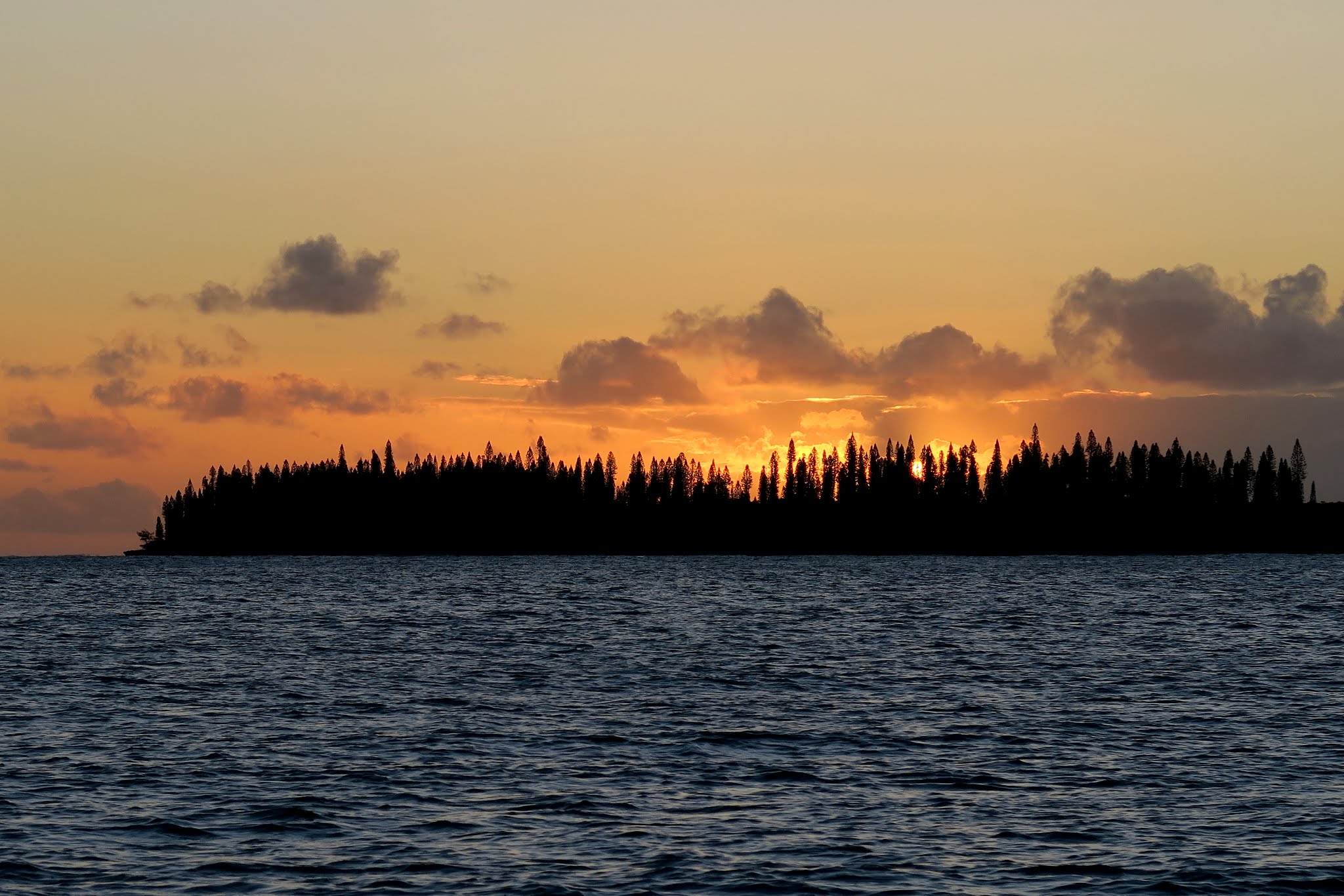
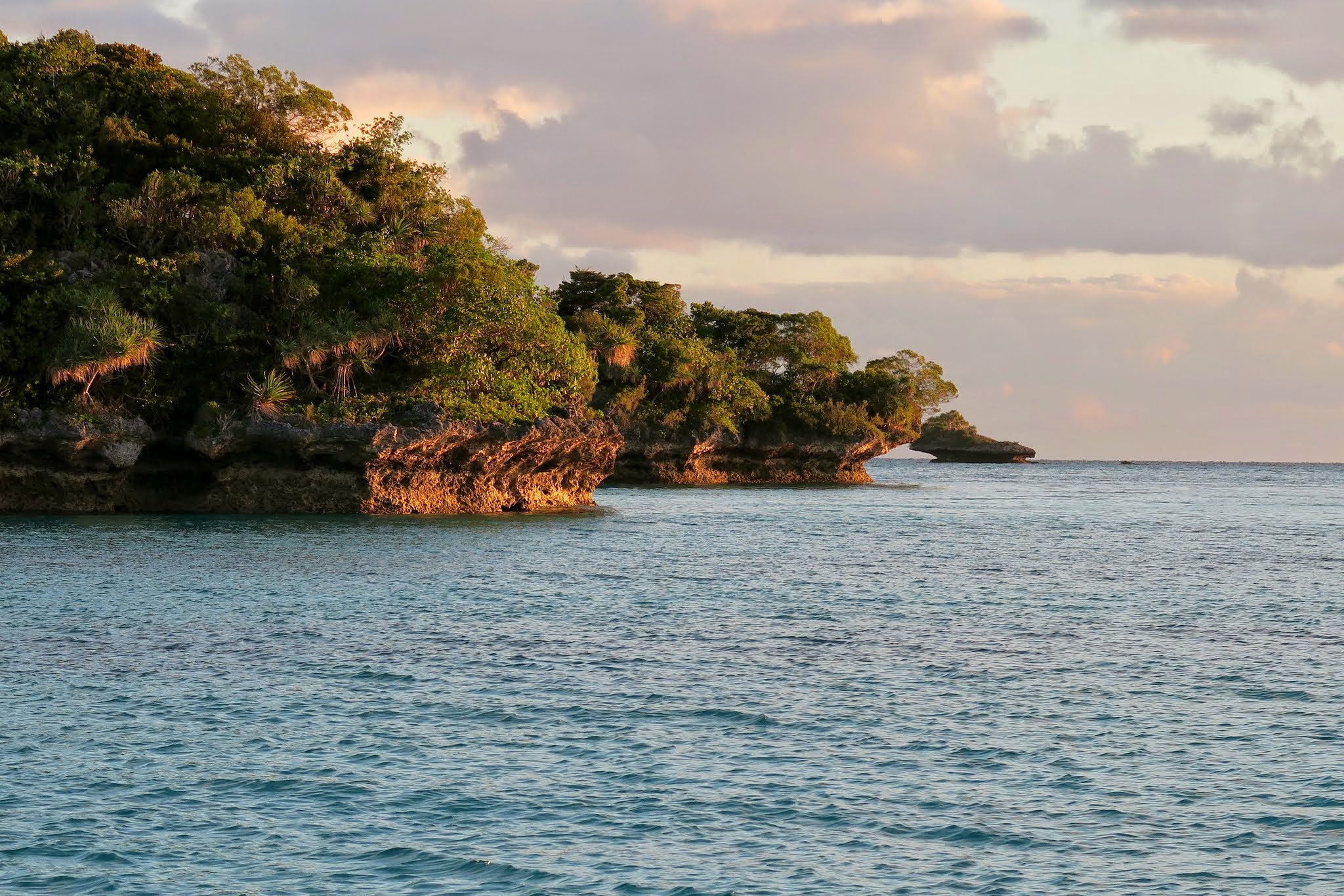
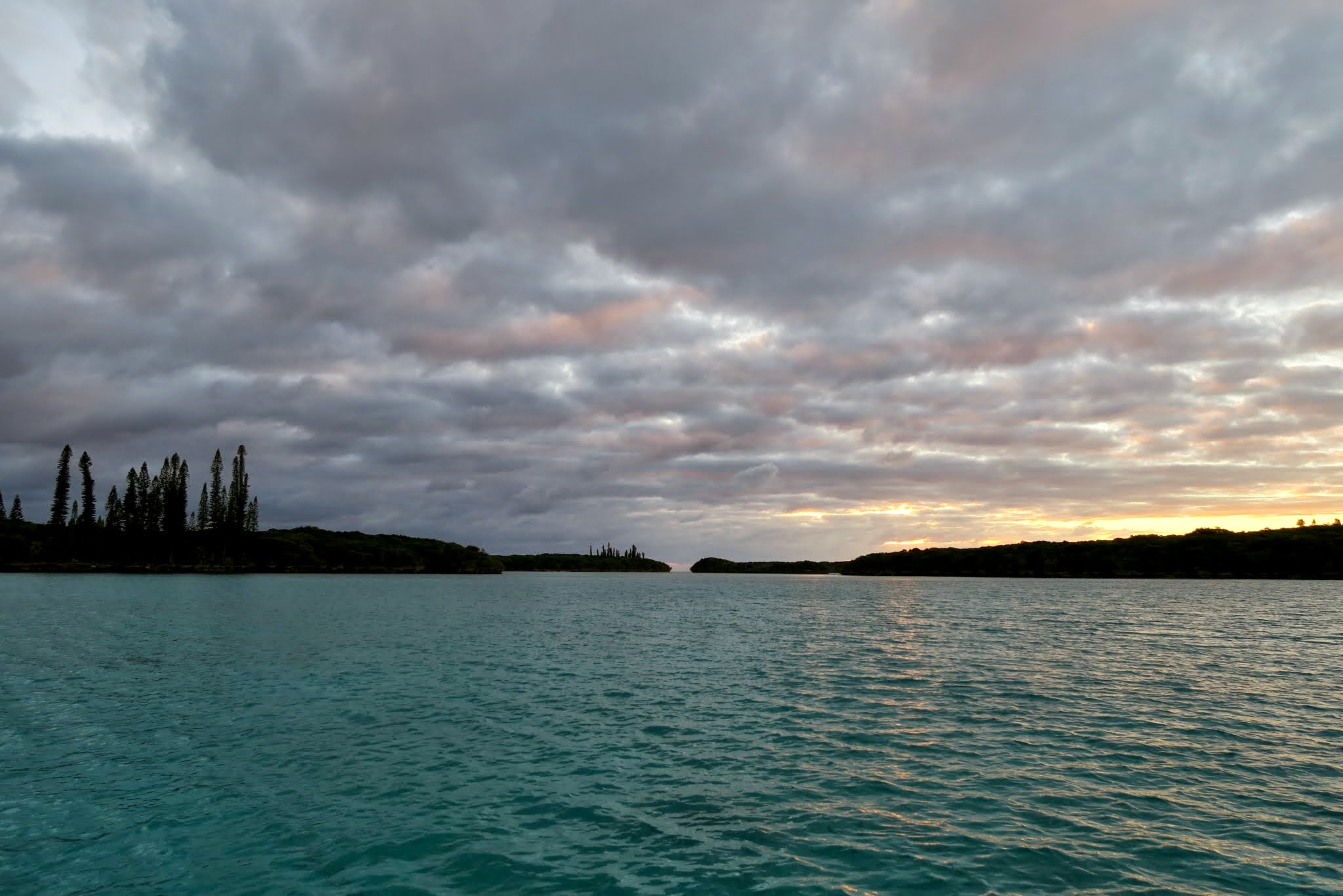
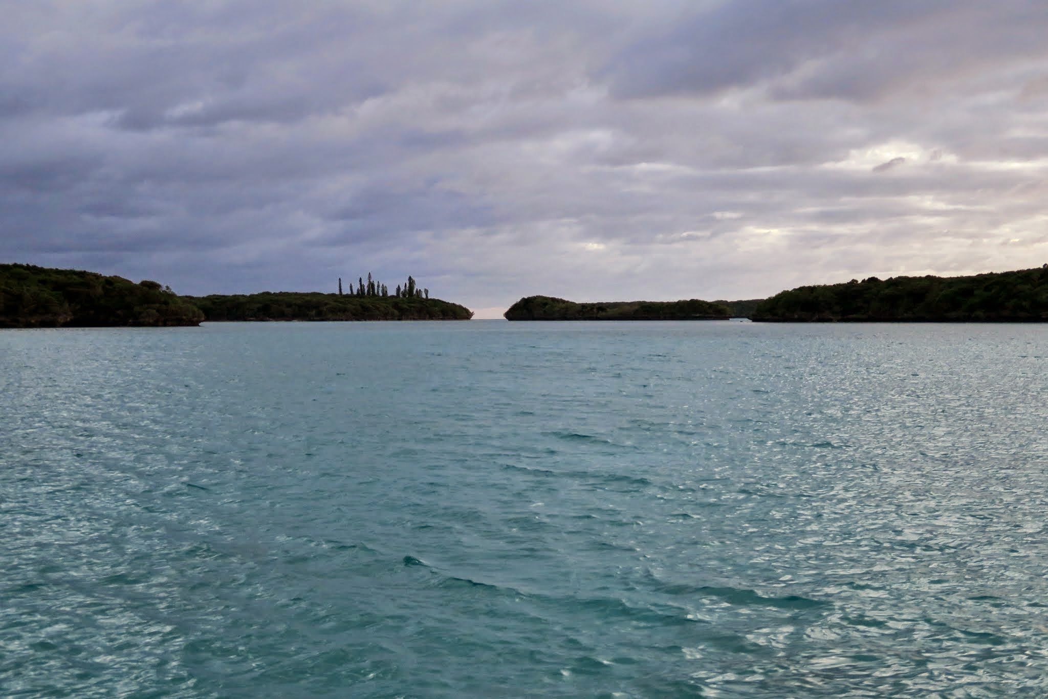
Within sight of our boat, there are 8 tiny islands, and far more that we can’t see, all jewels, scattered throughout New Caledonia’s south lagoon.

The HICTF meter will definitely be going up. (Don’t know what that is? Check out our post from a few days ago.)

When we get within internet range, we’ll add some pictures (this was posted via satellite and it’s too slow to post pictures). -Rich
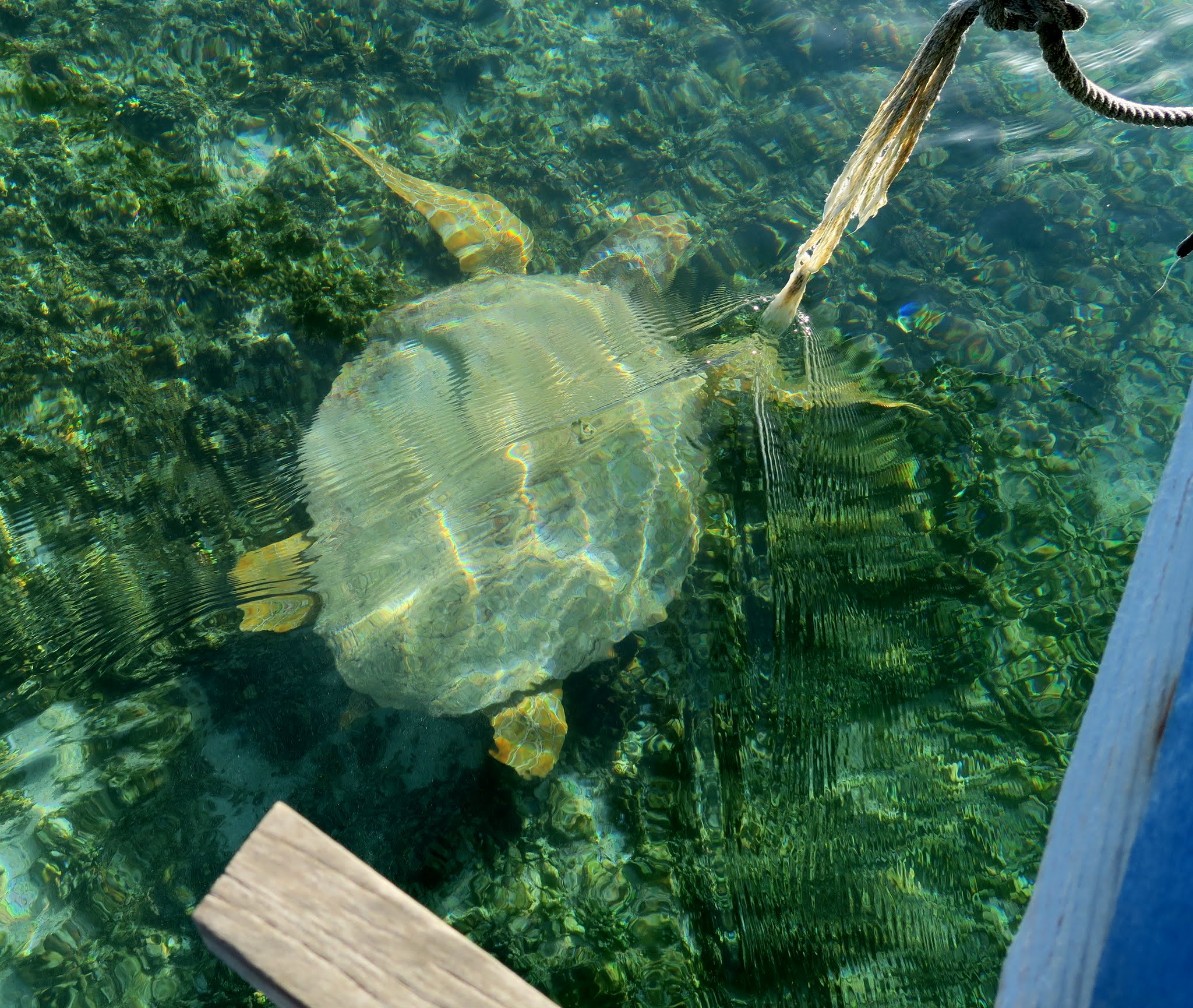
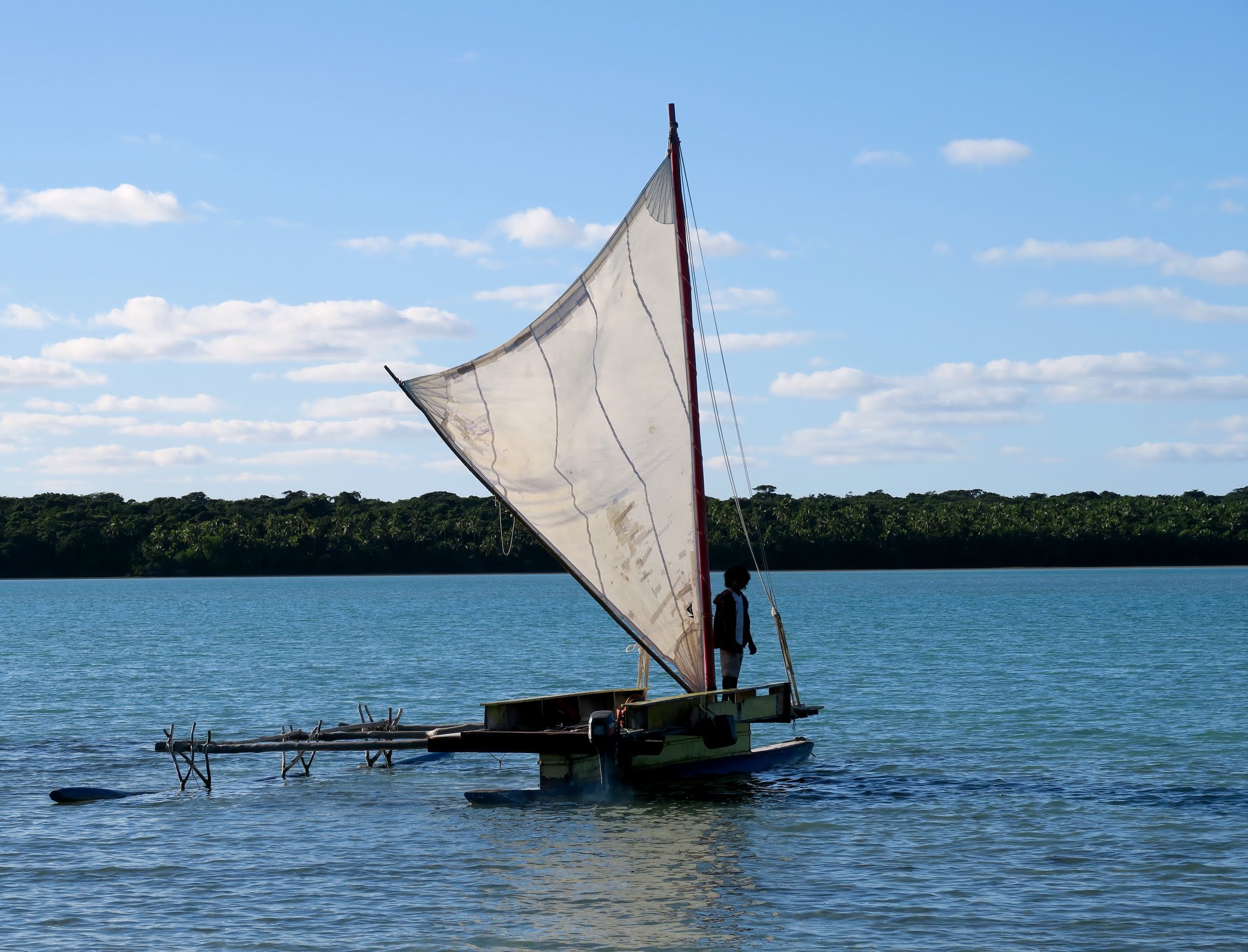
And here they are…

islands

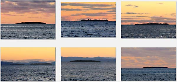
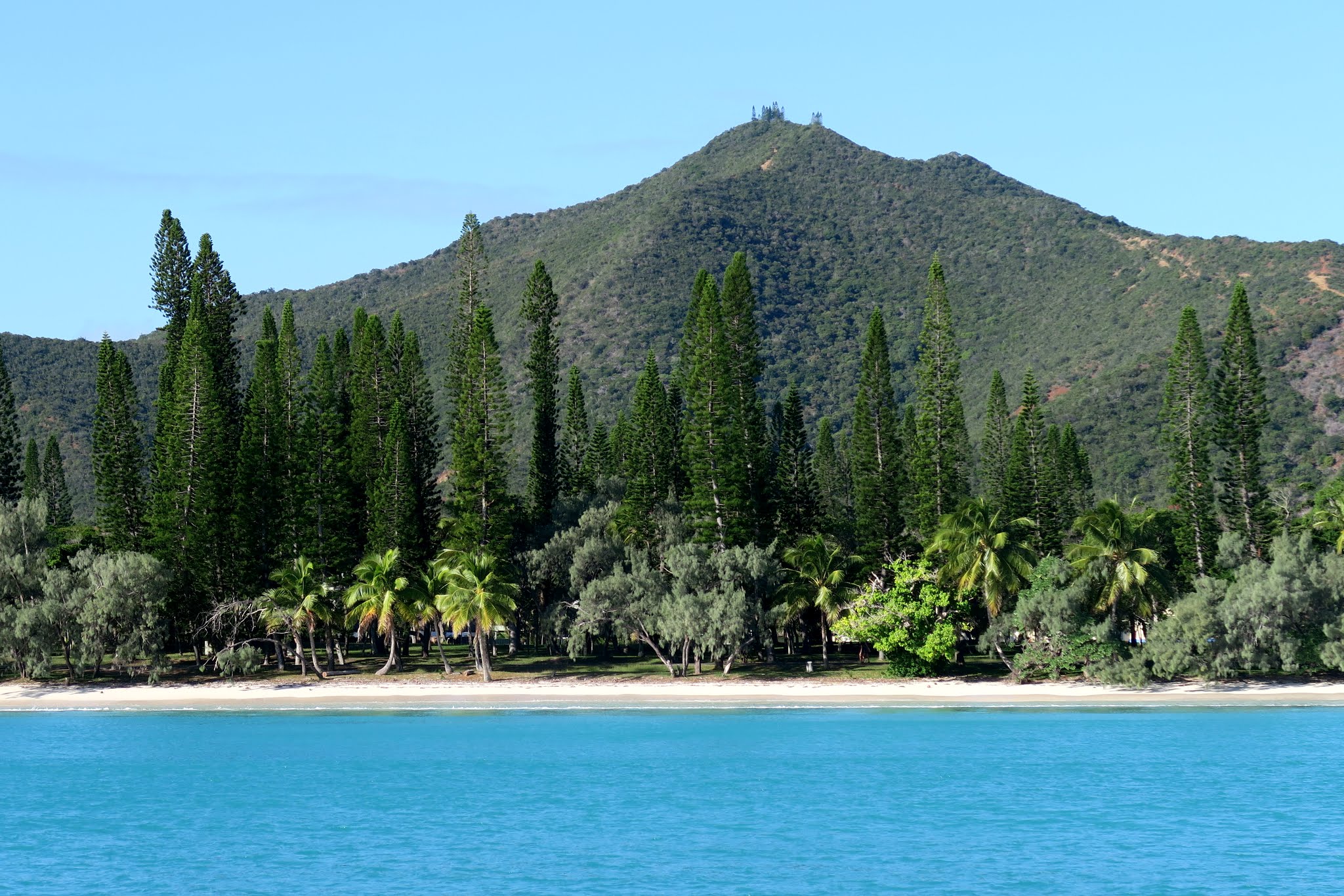
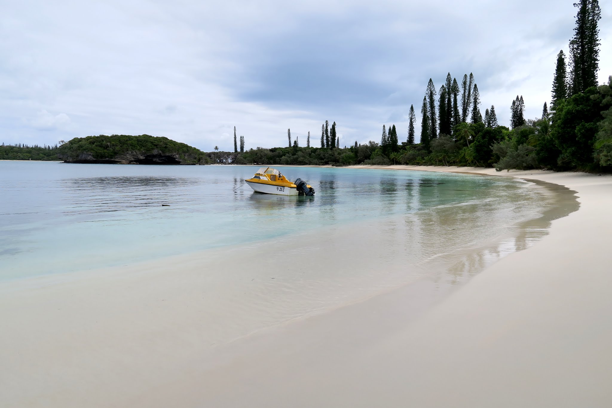
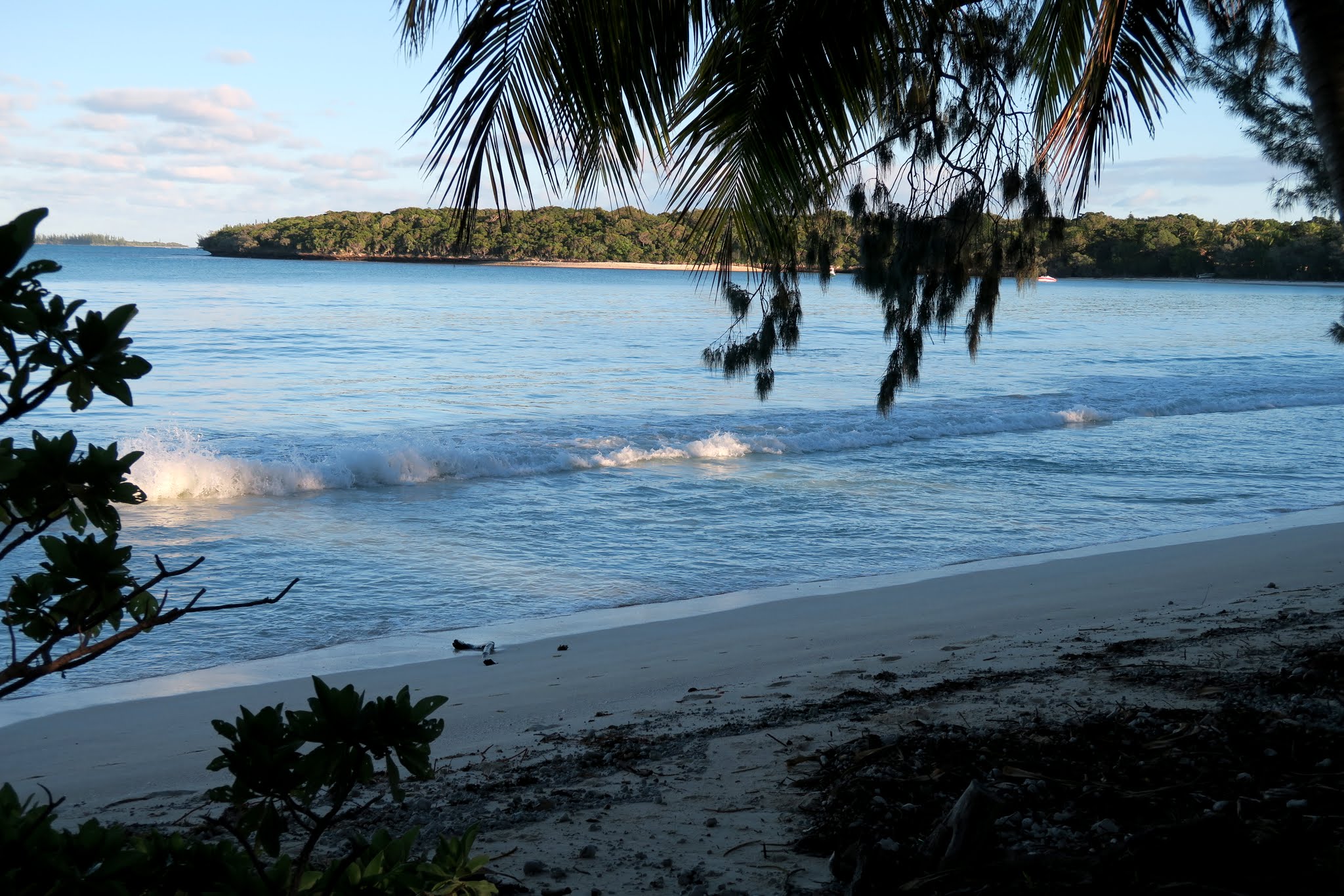
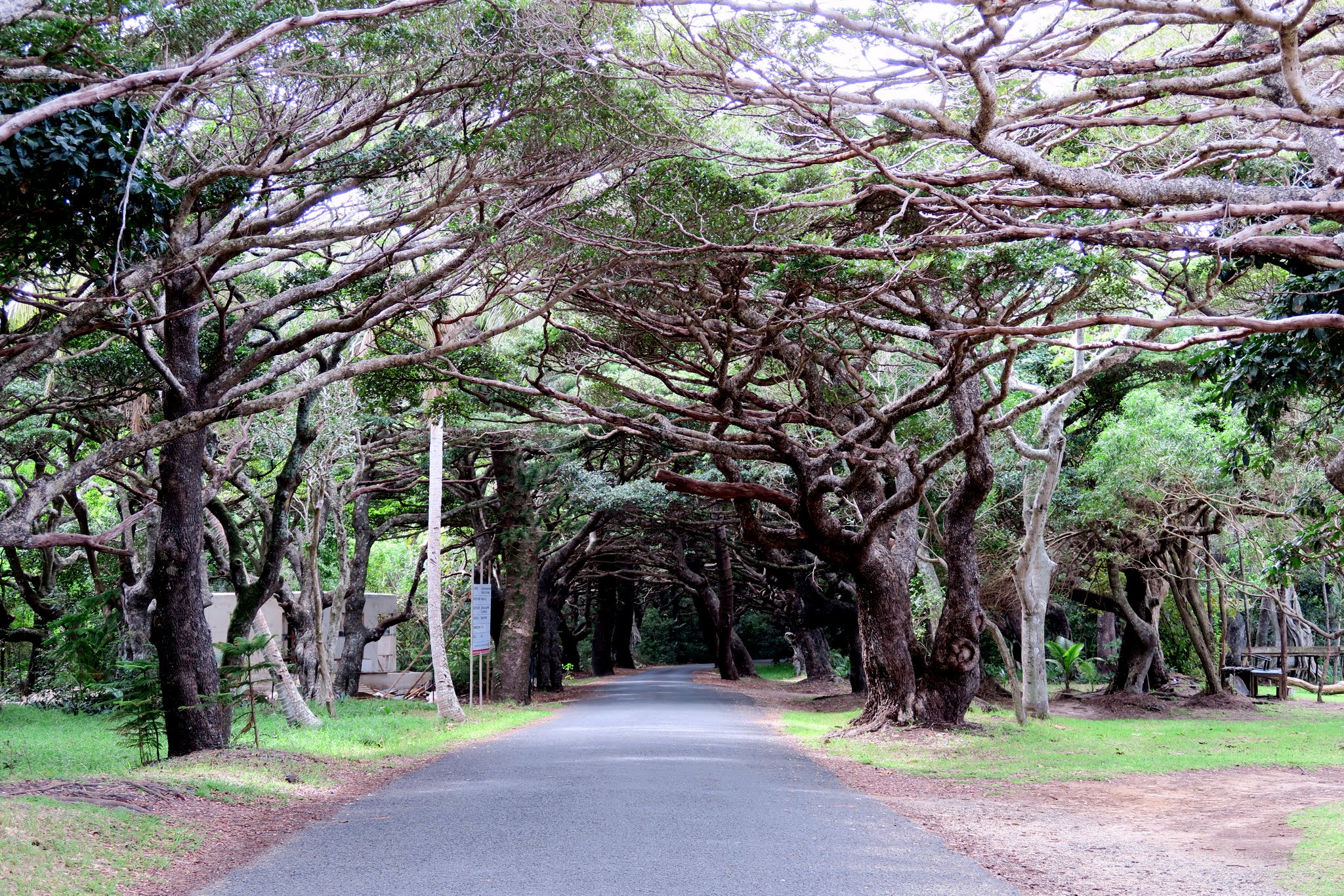
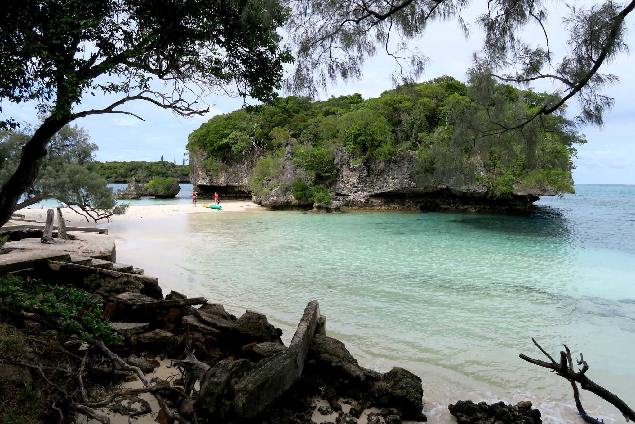
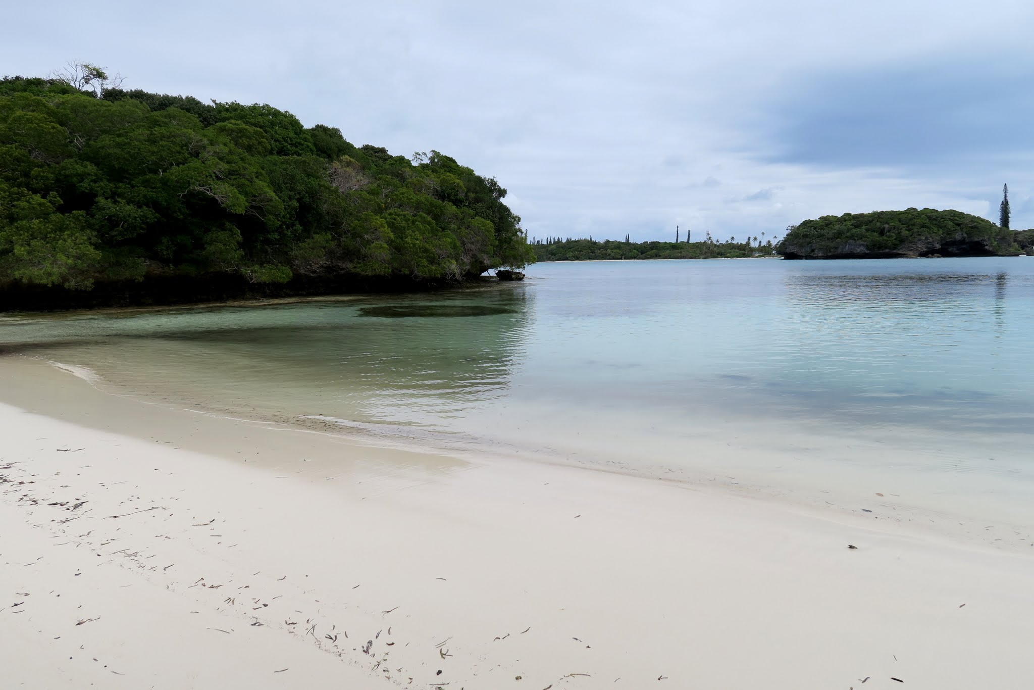
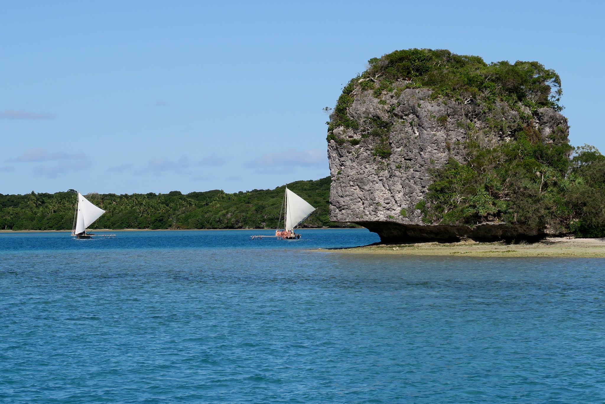
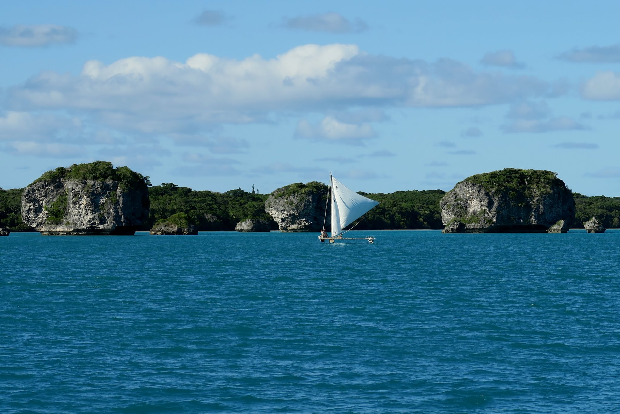
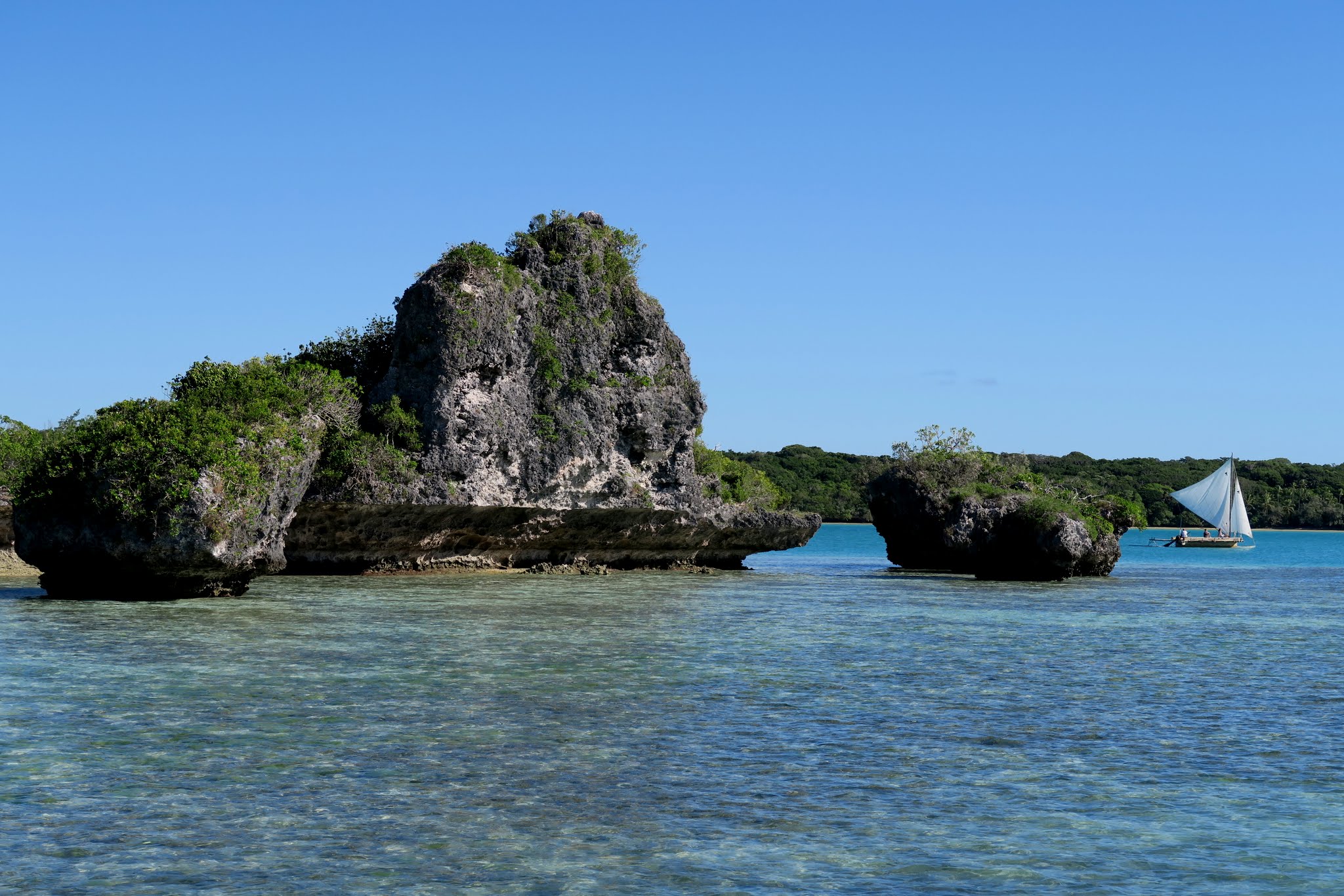
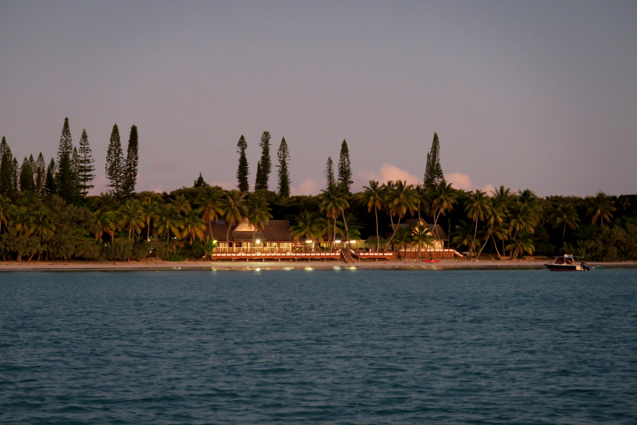
Above: Six of the jewels within view of our anchorage.
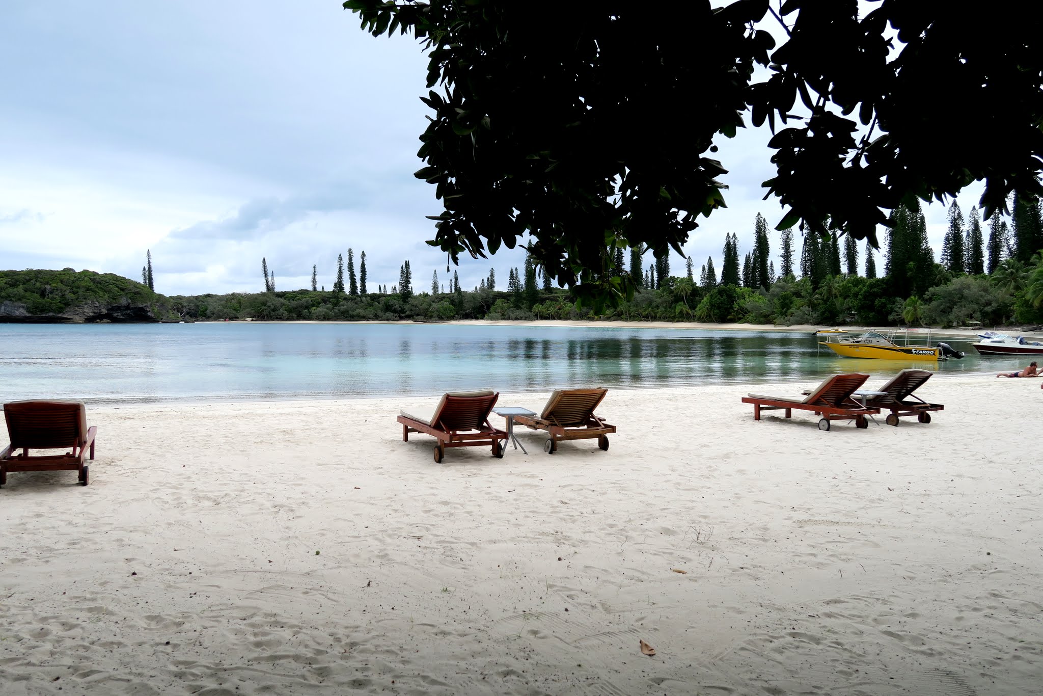
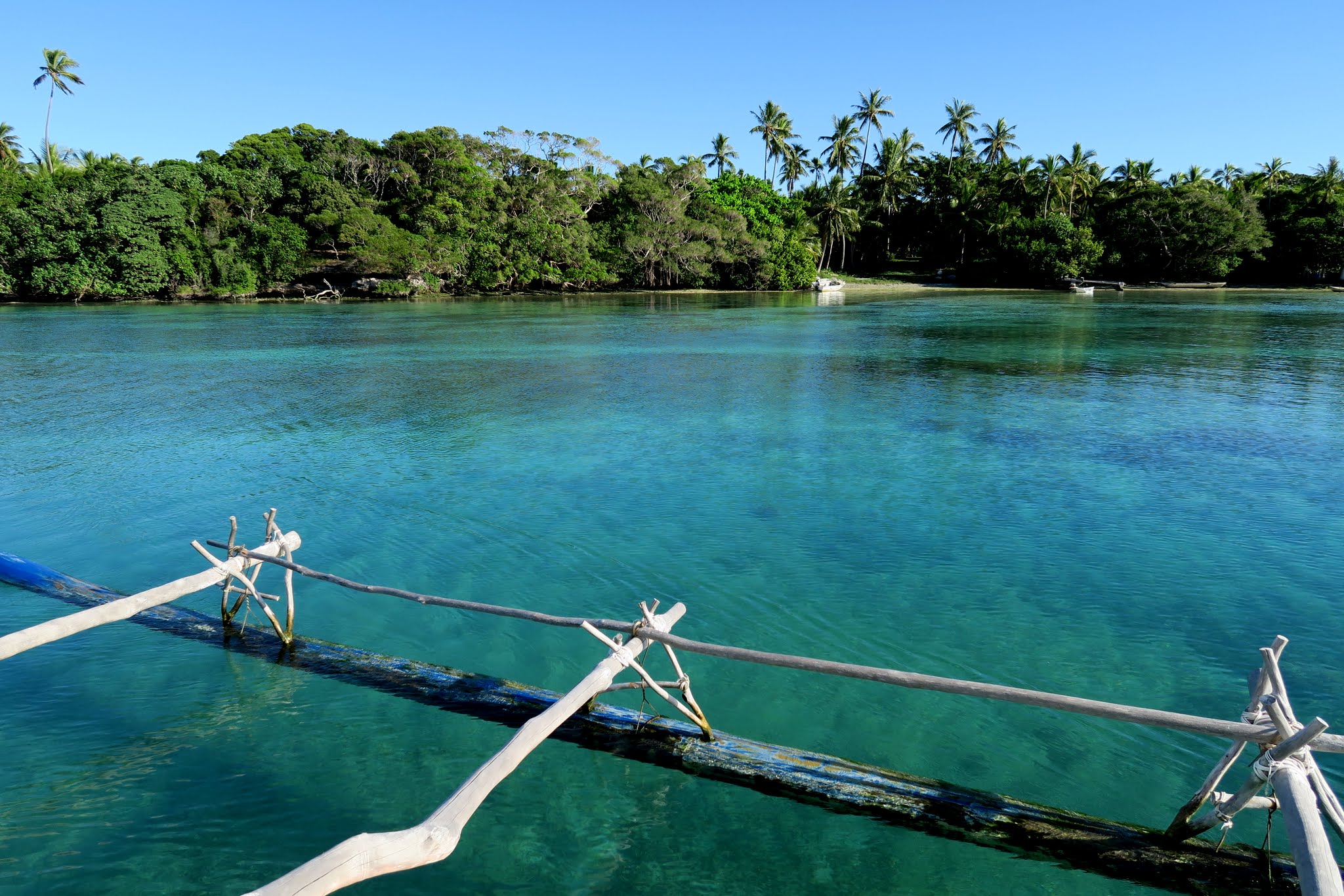
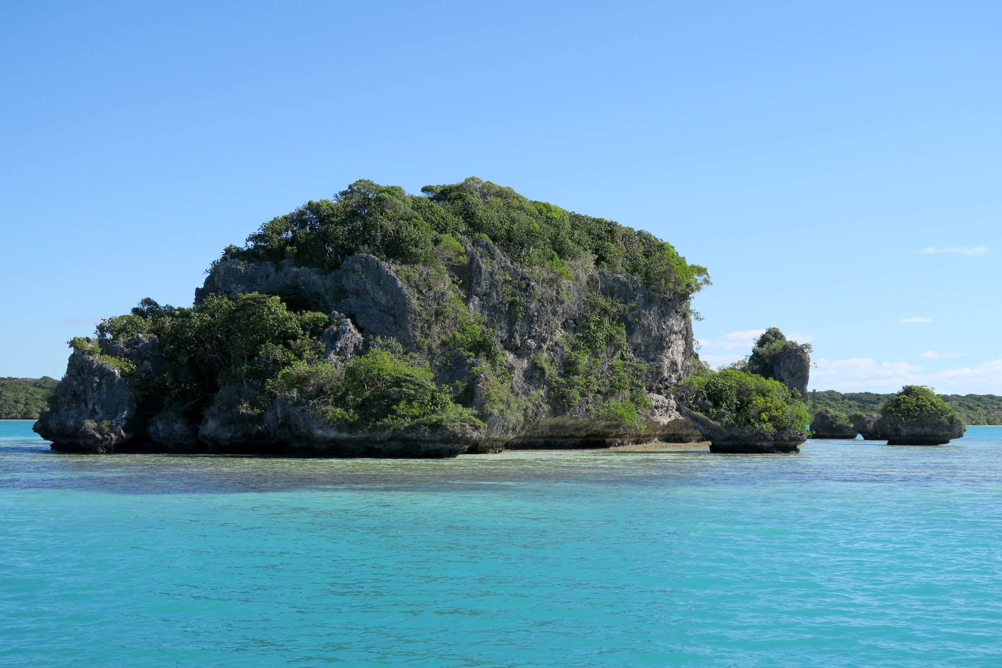
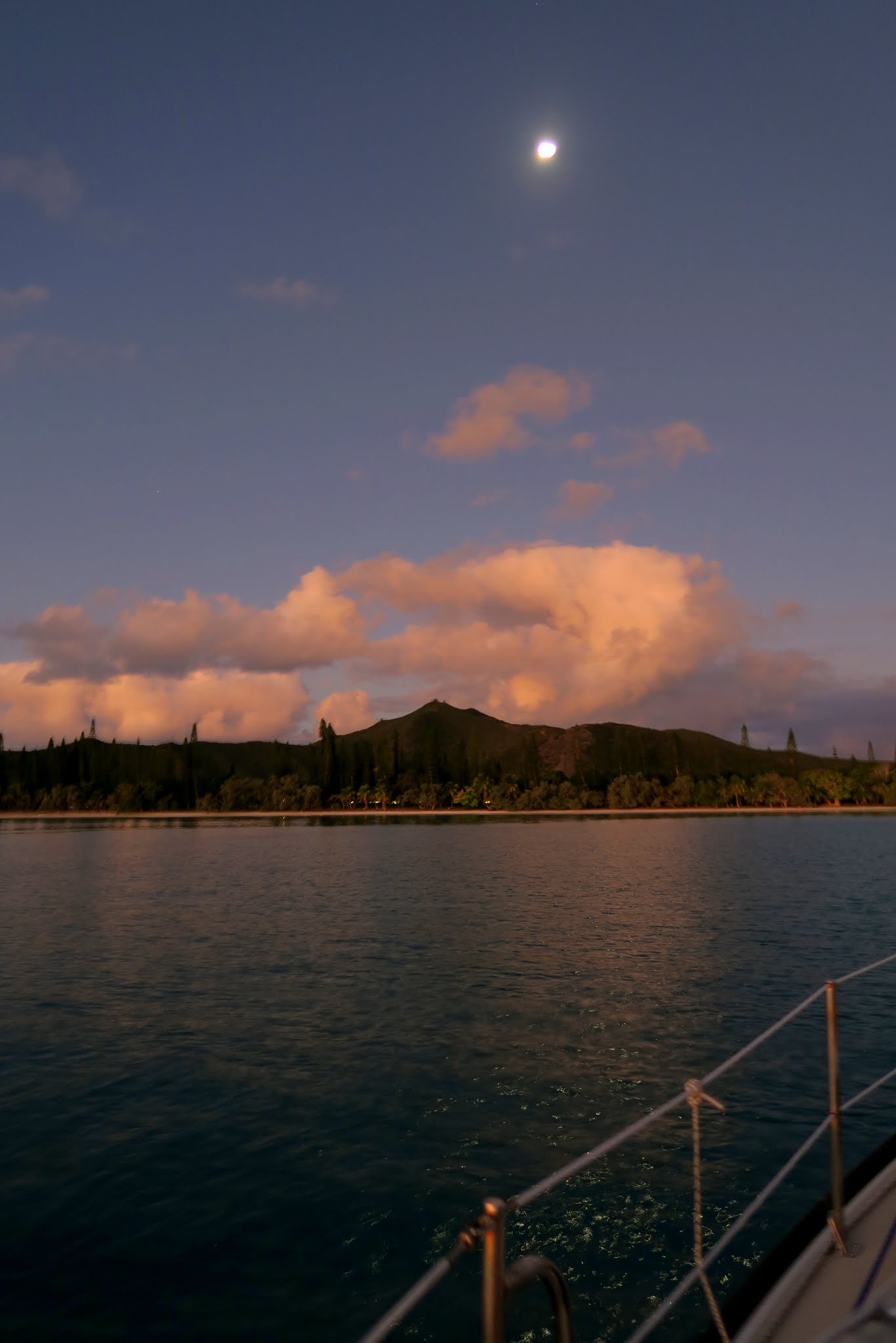
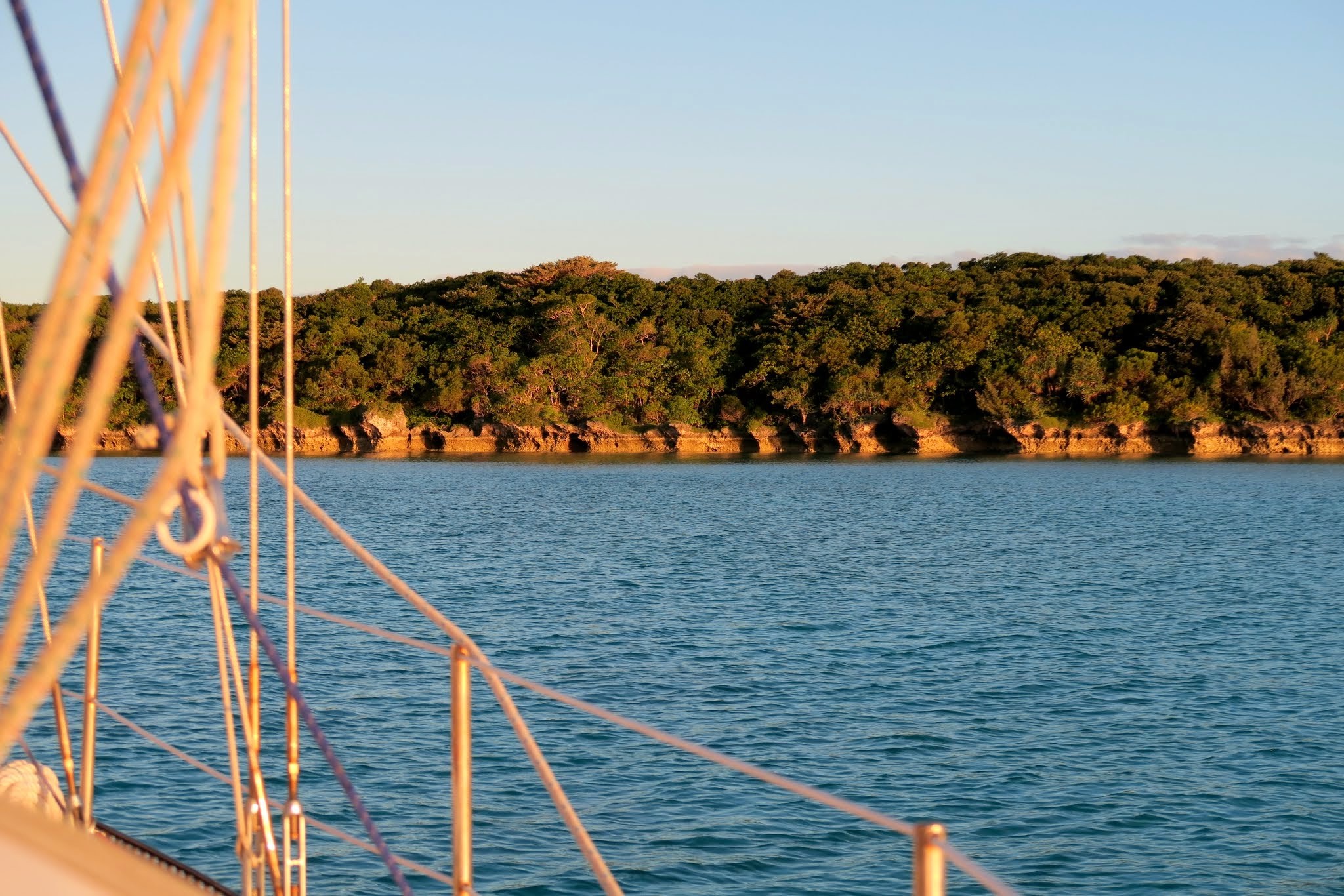
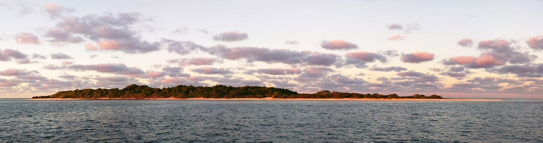
Below: Kouare.

Click for a larger image.
K0uare. Click for a larger image.

(By the way, does anyone know what the heck that word is that comes after the verse above? 😉 )

Ile des Pins: More Pics (New Caledonia)

May 30, 2015 at Ile des Pins, New Caledonia

A lot of pictures? You should have seen it a little while ago when there were 250+. We worked hard to get it down to this and each one we excluded was a small tragedy.

(Click to enlarge and scroll)

Tomorrow morning we’re sailing (well, probably motoring) away from Ile des Pins to some very small islands out in the lagoon. We don’t know if there’ll be internet so please stand by. We won’t be gone long. -Rich and Cyndi

HICTF Index

May 28, 2015

soi

Meteorologists, in order to help predict El Nino conditions, use, among other things, the SOI – Southern Oscillation Index. It looks at the atmospheric pressure in Darwin compared to Tahiti.

We have a similar index on Legacy – the HICTF Index (How’s It Compare to Fiji). On this index, 300 means drop everything and come at once. Zero means stay in Fiji.

We’ve had a special scientific instrument constructed to measure this index, based on our current location. The blue needle represents the index according to Rich. The purple needle, according to Cyndi. Here is the current reading for New Caledonia.

hictf-index-2


Various factors will alter this reading:

Kuto Bay, not the greatest place on earth, lowered it a bit, as did the expensive and unappealing lunch buffet nearby (we passed on it, but they did have amazing umbrella drinks – didn’t pass those by).

A very rough rounding of Ile Moro lowered it a bit, as did sand-throwing local children and persistent, strong winds. (Cyndi points out that Fiji also has uncooperative winds also and so maybe I should adjust the mechanism to ignore this factor.)

The amazing trees we walked among today raised the reading somewhat, as did the glorious beach we landed on.

We’ll post a picture of this instrument from time to time in hopes it’s useful for those considering this destination. Don’t make any concrete plans based on this early reading as there’s a lot we haven’t done yet and the index may change drastically.
-Rich

We Survived 311!!!

May 27, 2015

They said it couldn’t be done, but they were wrong. We took route 311 from Gadji to Kuto today and lived to tell about it.

route-311


If you don’t know about the Rocket Guide, you should, especially if you plan to sail the New Caledonia waters. (Here’s a link to http://www.rocket-guides.com/new-caledonia-cruising-guide.html)

The Rocket Guide is an interactive, Flash, cruising guide to New Caledonia, complete with hundreds of routes and waypoints. We chose #311 today because the trades were blowing hard and going out and around the reefs would have meant hours of slogging into the wind and swell. The downside was that 311 is shallow and has a lot of jogs around bombies. But it was flawless. I used the autopilot in all but a short stretch where I lost my nerve. It turns out, it would have worked fine.

Today, the shallow parts weren’t even the problem. The problem was rounding Ile Moro into 9 foot swells and 20 knot gusts. Yuk!

Oh well, like childbirth, all is forgotten now that we’re anchored, in Kuto with a long-period, gentle rolling swell. Here’s a Google map of our Ile des Pins journey so far.

Baie de Gadji, Ile des Pins, New Caledonia

May 26, 2015

The trades are up and Baie d’Oro got rough, so after a coffee and croissant at the hotel, a quick tour and a wet dinghy ride, we bugged out. Two hours later, we’re sitting here: in Baie de Gadje. We’re anchored in about 9 feet of clear, powder-blue, flat, still water. The wind’s started to blow again this morning, but who cares.