Back to Fare (Huahine, Society Islands)

July 31, 2012

After a peaceful night’s sleep in this calm anchorage at the south end of Huahine, we pulled up our anchor and headed north, out of the bay.  We hoped that heading north would be much less stressful as we could now follow the exact path we had taken down here using our chart plotter.  Certainly retracing our steps would make it much easier.

It wasn’t easier at all!  We headed over the same dark areas and coral, and it was just as unnerving as it was the first time.  It didn’t help that the sky had become cloudy and the wind had picked up, making it hard to see into the water.  Finally we made it back to the well-charted area, but that still involved some zig-zagging around coral heads.  They were well-marked on the chart, but it was still nerve-wracking.

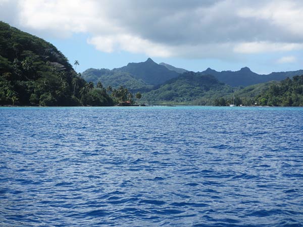
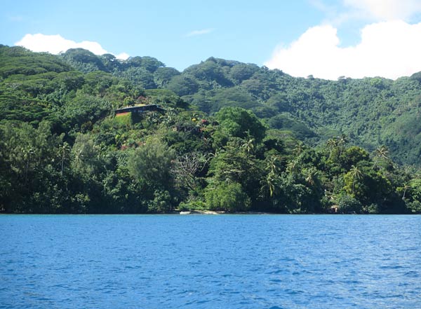
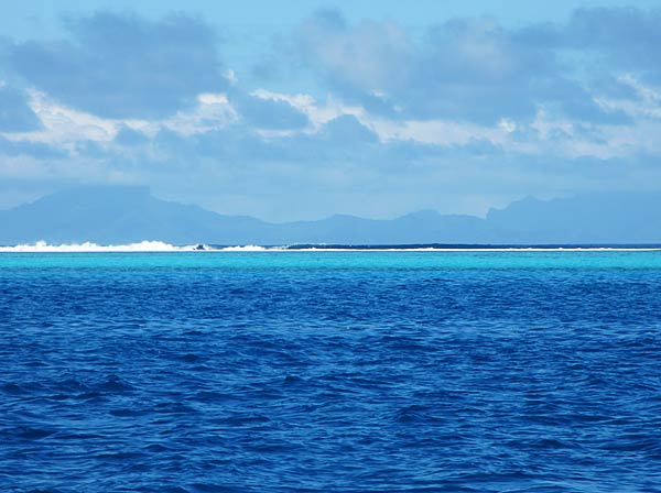
As we headed up, we could again enjoy the lush island, and the bright bands of blue and green water over the reef as waves pounded on the far edge.  What made us uneasy now was the parade of squalls marching south between Huahine and Raiatea to the west.  The sky was dramatic, with swirling gray, black and white cloud formations and long bands of falling rain.  It looked like pictures I’ve seen in books labeled “weather phenomena.”  We knew they weren’t coming our way, but seeing all that going on in the area we’d be crossing tomorrow made us nervous.

By the time we got back to our original anchorage, the winds had picked up to 15 to 20 knots and the sea was bouncy as we let out our anchor.  Our guidebook specifically states: “This is not an all-weather anchorage!”  They aren’t kidding. The holding isn’t that secure there, and the anchorage is close enough to the pass that the current comes in and sets boats sideways to the wind and swell.  The problem is that there isn’t much choice of anchorages nearby.  You can head down to an anchorage by the reef, but the area is narrow and too close to the reef for our comfort.

While we waited to see how the anchor held, there was no question that we would not be going into town that evening as planned.  It was too rough to leave the boat.  At this point, I was worried we might have to stay awake all night and keep anchor watch.  Rich looked at the weather forecast and it predicted this little system would be over by midnight.  A boat nearby pulled up his anchor and announced to us that this anchorage was really bad last night and he wasn’t going to suffer through another bad night here; he would go anchor by the reef.  This made me appreciate Avea bay as we’d had a great night there.  We thought about moving but decided to stay.  The wind did die down by 10pm, and we ended up having a good night’s sleep.

With all the stress, there wasn’t much chance that Huahine would go down as a favorite spot.  Rich wasn’t happy with the whole experience.  I thought it had some very nice features, but if I had to do it again I’d stay put in our original anchorage and rent a car to see the island.  Unfortunately, when one of our friends called us to see how we liked it (we were ahead of a few boats we knew and some would be making decisions based on what we told them), Rich told them he’d pass on it, but because of a bad radio connection was not able to go into the reasons why.

It would take some time to live down our reputation as the boat that didn’t like Huahine.  There were people who loved it and couldn’t believe someone might not feel the same.  With any cruising spot, it’s all a matter of personal taste, and what one person loves another might not like at all.  When you talk about a place to someone behind you; it’s important to specify what you don’t like about the place, and (just as important) what you do.

-Cyndi
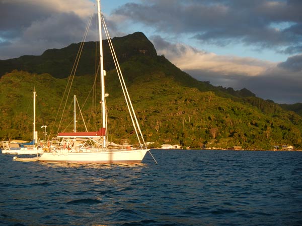
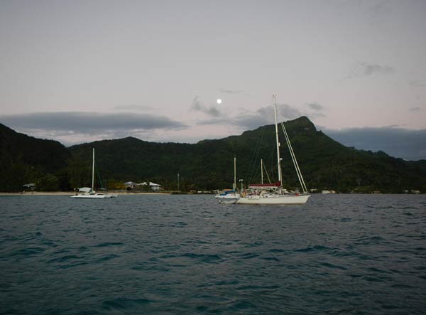
Sunset at Fare
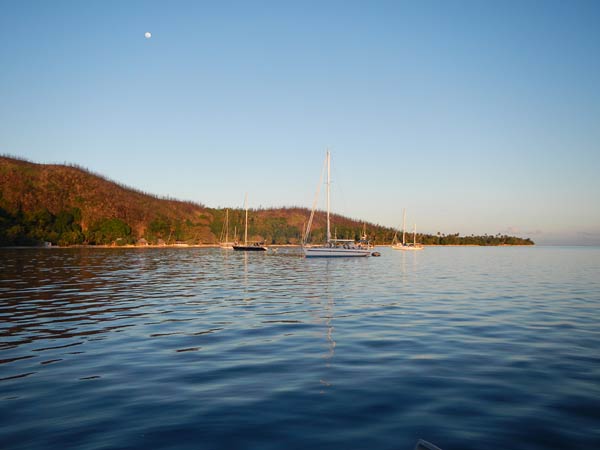
Moon over Fare

Lunch in Avea, Huahine (Society Islands)

July 30, 2012

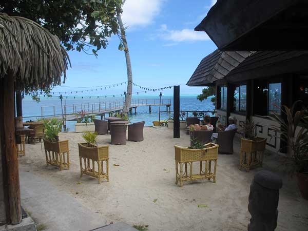
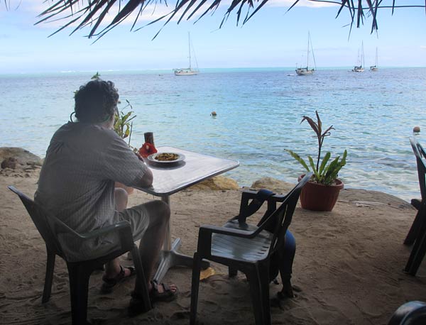
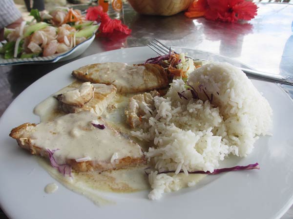
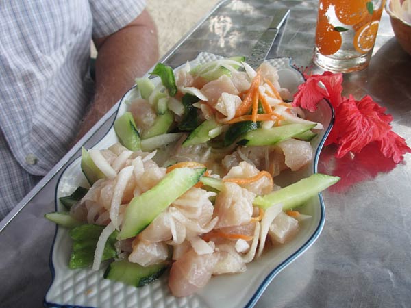
After our walk we looked for a restaurant, and we found one that looked nice and was still open for lunch.  We headed in and got a table right on the sand overlooking the water.  I was thrilled to see a Tahitian specialty that I hadn’t had a chance to try yet: mahi with vanilla sauce; so I splurged and ordered that while Rich ordered the poisson cru, which we haven’t gotten tired of yet.

It was a wonderful lunch, but we did find that once again we were joined by a few flies.  They weren’t that bad, and we would either ignore them or wave them away.  I don’t know what it is about this island and flies. We hadn’t had a problem with them before (or since).

Beach Dining
Inviting, isn’t it?
This could get to be a habit!
Mahi Mahi with vanilla sauce – vanilla grown in Huahine.
And of course, poisson cru!

A Walk to the Southern Tip of Huahine (Society Islands)

July 30, 2012

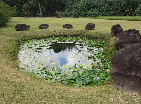
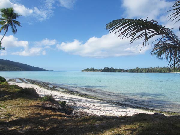
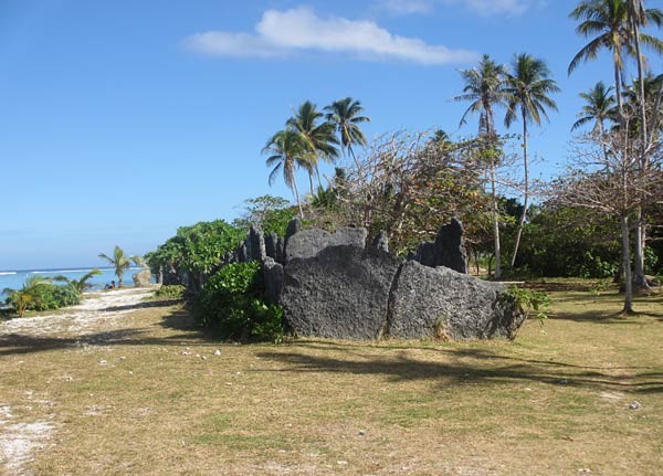
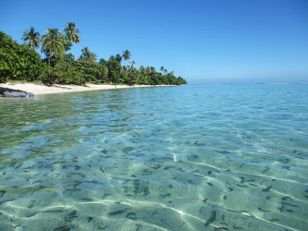
We walked to the south end of the island, just around the corner from our bay.  It was quite beautiful, with a large marae (large religious relic) and a motu just off the south end of the island, making a shallow blue-green area of water that was very pretty.  It would be a nice spot to spend a day if we had more time.

Pretty pond (aka mosquito factory!)
Beautiful water but too shallow for Legacy.
Sacred Marae from long ago.
And back to our dingy – those are hundreds of sea cucumbers on the bottom.

Avea at the southern tip of Huahine (Society Islands)

July 30, 2012

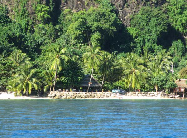
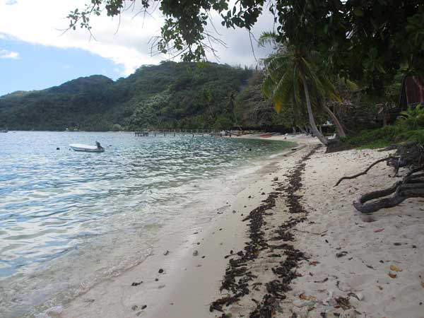
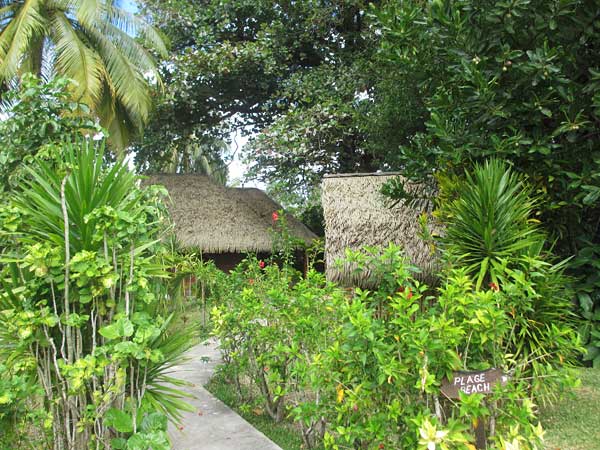
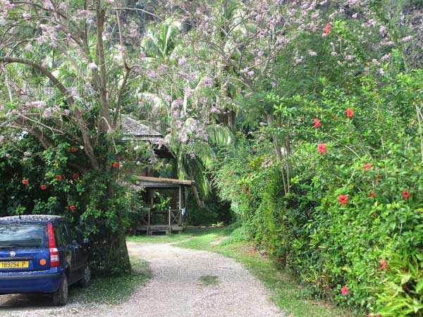
We went ashore and found quite a nice town.  There was a small white sand beach and beautifully planted grounds around each house and structure.  I found out that some of the hills were so dry because there had been a fire and the vegetation hadn’t yet grown back.

After a nice lunch and a long walk, we headed back to the boat.  There wasn’t much in the way of sea life here, but we were firmly anchored in a nice sand bottom, and the water was clear and inviting to swim in.  We did swim, and we cleaned the waterline and bottom of the boat.  I thought it was a very enjoyable afternoon, and this place was growing on me.  I wished we could relax and spend a couple of days here, but we needed to get to Raiatea soon and could only spend one night.

Anchored in Avea
Heading Ashore
Avea Beach Landing
Pretty Town
(Small Town!)
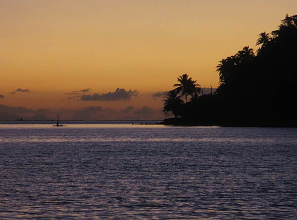
Sunset at Avea

Passage to Avea (Huahine, Society Islands)

July 30, 2012

Our plan today was to head down to the south end of the island to Avea, about a 10-mile passage inside the reef.  We started the day by going into town to buy some food, and I was shocked to find the sleepy town of yesterday was now crowded with people and cars.  Yesterday it reminded me of sleepy La Paz; today it felt more like Tijuana and had lost much of its charm.  We were glad to be heading south.

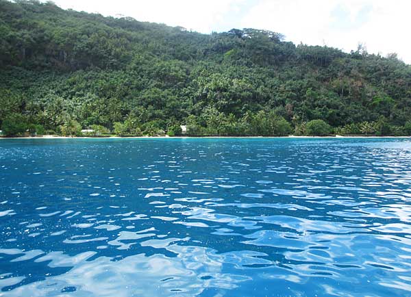
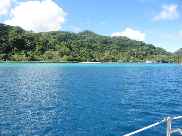
We got back to the boat and got on our way, motoring down inside the reef.  It was pretty wild to be motoring along with a lush green island on one side and the fantastic light blue and green bands of water over the reef on the other side (colors made almost neon by our polarized sunglasses).  Waves pounded the outside of the reef, but the water in the passage was perfectly calm.

It was a hot day, and when some clouds and a breeze came up it felt nice, but it made obstructions in the water less visible.  Most of the passage was well marked and charted, but there were a couple of areas where we had to maneuver to avoid some obstructions, and this was stressful.  We saw some areas where we could anchor, but nothing looked as appealing as our destination so we kept on.

Our stress ramped up sharply as the last quarter mile or so before the anchorage was much less well charted.  It was still marked with guideposts but only had random markings for depth, meaning we’d be on our own to spot bombies (little coral hills below the water) and large rocks.  Lots of boats make this passage and we knew it was probably fine, yet there were some spots that terrified us.  The water would get dark with rocks or light with coral and there was no way of knowing for sure that it was deep enough.  I got on the bow and did the best I could at gauging depth.  In all, it was deep enough, but that part of the trip could be sponsored by Valium, not that we have any.  Drinks later in the cockpit would have to do.

As we headed to the final turn into the bay, a sailboat was heading up behind us fast. Obviously that person knew his way around so we slowed down to let him pass, then gladly followed him the rest of the way.

When we went around the corner into the bay, I was a bit taken aback at how dry it seemed and made a remark that we had cruised to Woodland Hills. (Not that there’s anything wrong with Woodland Hills; it just isn’t what you expect to find on an island in the tropics).  We looked around, and while it was a perfectly nice bay, it didn’t seem worth the heart palpitations we had suffered through getting here.  Rich asked me why this anchorage was supposed to be so special, and I realized the guidebook hadn’t specified why. So our question became, “Why is this place special?” Or more specifically, “Why are we here?”  We went to go ask the boat we had followed in, and we were shocked to find out it was his first time here, too; he had just trusted that there would be no shallow rocks in a marked passage as he had barreled through.  He didn’t know why we were here either.  We asked a couple on another boat, and they said they had tried to find good snorkeling but hadn’t found it yet.  So we went ashore in search of the reasons this place has such a good reputation.

Sights along the pass south.
Huahine, lush and green.
Colorful Water
The reef outside the anchorage at the south end of Huahine.
The moon over Avea.